Surfside Beach in Brazoria County, Texas — The American South (West South Central)
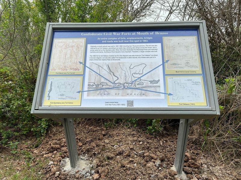
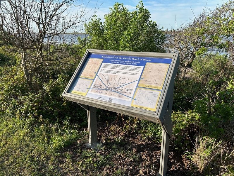
Confederate Civil War Forts at Mouth of Brazos
An entire complex of forts, emplacements, bridges and roads was built near this spot in 1863.
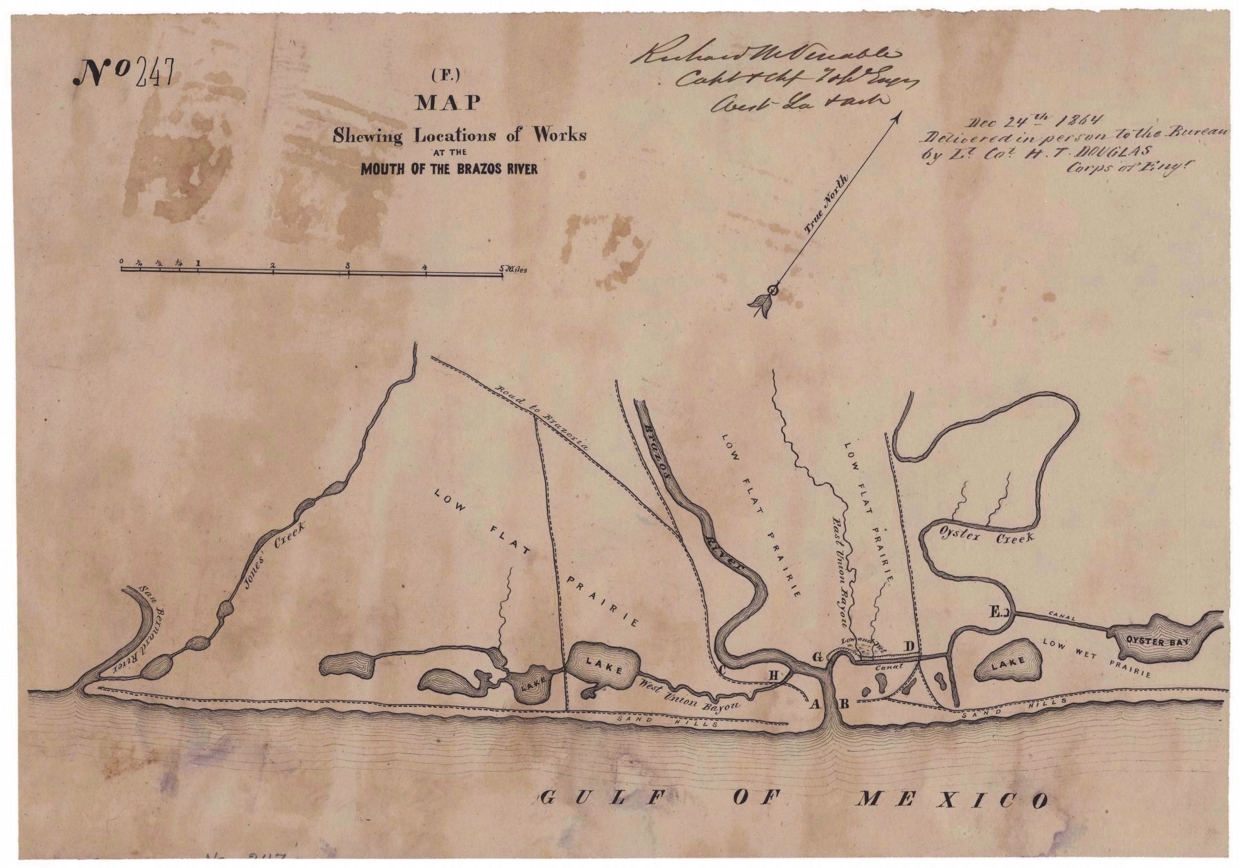
Originally, a small redoubt was built in 1861-1862 mounting two 18-pound cannons. This fort was also referred to as Fort Velasco, according to an early map, showing also pilings across the mouth, and a similar early fort on the Quintana side. When the Union blockaded the Mississippi River and restricted maritime commerce, the Brazos River became more important. Therefore, a larger complex was built.
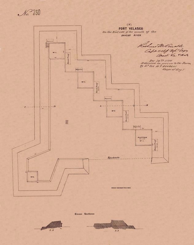
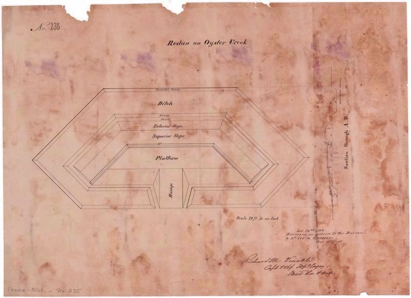
The 1863 fort at old Velasco (marked as B in this diagram) was also known as Fort Velasco as shown in its own diagram, but was also called Fort Sulakowski in other records. All of these were part of a chain of forts from Sabine Pass to Brownsville.
Erected 2024 by Old Fort Velasco Historical Association and Old Velasco/Surfside Beach Historical Committee.
Topics. This historical marker is listed in these topic lists: Forts and Castles • War, US Civil • Waterways & Vessels. A significant historical year for this entry is 1863.
Location. 28° 56.458′ N, 95° 17.982′ W. Marker is in Surfside Beach, Texas, in Brazoria County. Marker can be reached from the intersection of Parkview Road and Fort Velasco Drive, on the right when traveling east. Touch for map. Marker is in this post office area: Freeport TX 77541, United States of America. Touch for directions.
Other nearby markers. At least 8 other markers are within walking distance of this marker. Republic of Texas Battery (within shouting distance of this marker); First Republic of Texas Navy: 1835-1837 (within shouting distance of this marker); The San Felipe Incident (about 300 feet away, measured in a direct line); Battle of Velasco Memorial (about 400 feet away); Brown-Hoskins Hotel and Tavern (about 400 feet away); Santa Anna signed Treaties of Velasco (about 500 feet away); The Lively (about 600 feet away); Allen Place, 1883 (approx. 0.6 miles away). Touch for a list and map of all markers in Surfside Beach.
More about this marker. This marker is one of a set of six historical trail signs installed along a jetty-side hiking trail in Feb-Mar 2024 at the site of Old Velasco at the old mouth of the Brazos River, as near as possible to the actual location featured in the sign.
Regarding Confederate Civil War Forts at Mouth of Brazos. This location is significant since it is atop a mound that is the remains of a large five-gun Civil War fort that once existed at Velasco, which was part of a much larger complex of forts which protected the mouth of the Brazos River during the American Civil War of 1861-1865. The large guns at these forts kept the Union Navy away from the mouth, so that speedy steam-powered blockade runners could come and go (primarily carrying cotton for export).
Also see . . . Civil War Forts (1861-1865) - at the mouth of the Brazos River. (Submitted on March 26, 2024, by Chris Kneupper of Brazoria, Texas.)
Credits. This page was last revised on March 27, 2024. It was originally submitted on March 25, 2024, by Chris Kneupper of Brazoria, Texas. This page has been viewed 56 times since then. Last updated on March 27, 2024, by Chris Kneupper of Brazoria, Texas. Photos: 1, 2, 3. submitted on March 25, 2024, by Chris Kneupper of Brazoria, Texas. 4, 5. submitted on March 26, 2024, by Chris Kneupper of Brazoria, Texas. • Devry Becker Jones was the editor who published this page.
