Natchez in Adams County, Mississippi — The American South (East South Central)
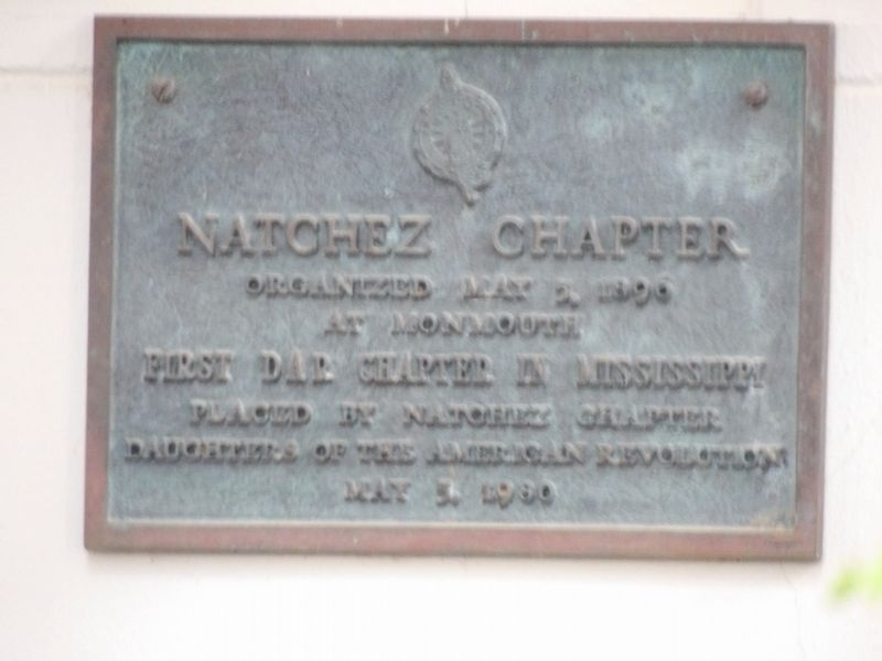
Natchez Chapter
Photographed by Duane and Tracy Marsteller, March 10, 2024
1. Natchez Chapter Marker
First DAR chapter in Mississippi
Erected 1980 by Natchez Chapter, Daughters of the American Revolutiion.
Topics and series. This historical marker is listed in these topic lists: Fraternal or Sororal Organizations • Women. In addition, it is included in the Daughters of the American Revolution (DAR) series list. A significant historical date for this entry is May 5, 1896.
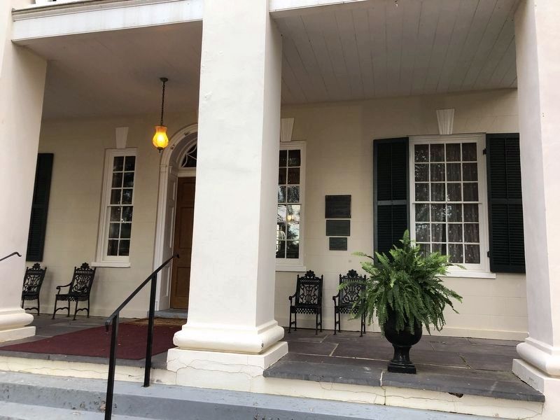
Location. 31° 33.171′ N, 91° 23.175′ W. Marker is in Natchez, Mississippi, in Adams County. It can be reached from John A Quitman Boulevard west of Melrose Avenue, on the left when traveling west. Marker is on the portico of the main house. Touch for map. Marker is at or near this postal address: 1358 John A Quitman Blvd, Natchez MS 39120, United States of America. Touch for directions.

Regionally, this marker is in Southwest Mississippi and in Natchez Trace Corridor. It is also in the American South, specifically in the Deep South, and in the Great River Road Region. Globally, it is in North America, a Gulf of Mexico state, the Western Hemisphere, the Western World, and the Anglosphere. Historically,
this page online
Other nearby markers. At least 8 other markers are within walking distance of this marker: Monmouth: Upstairs, Downstairs (a few steps from this marker); Ex-"Slaves" as U.S. Civil War Soldiers in the Mississippi Valley Campaign (approx. ¼ mile away); America's Domestic "Slave" Trading Routes To The Deep South (approx. ¼ mile away); Forks of the Road Historical Site (approx. ¼ mile away); History of St. Catherine Street (approx. ¼ mile away); Forks of the Road (approx. ¼ mile away); a different marker also named Forks of the Road (approx. ¼ mile away); Papa Lightfoot & The Natchez Blues (approx. ¼ mile away). Touch for a list and map of all markers in Natchez.
Photographed by Duane and Tracy Marsteller, March 10, 2024
2. Natchez Chapter Marker
Featured marker is the bottom one.
Photographed by Duane and Tracy Marsteller, March 10, 2024
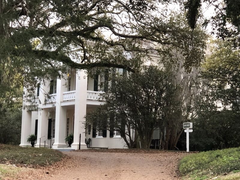
3. Front of Monmouth main house
Credits. This page was last revised on March 28, 2024. It was originally submitted on March 27, 2024, by Duane and Tracy Marsteller of Murfreesboro, Tennessee. This page has been viewed 173 times since then and 15 times this year. Photos: 1, 2, 3. submitted on March 27, 2024, by Duane and Tracy Marsteller of Murfreesboro, Tennessee.
