Palmer in Hampden County, Massachusetts — The American Northeast (New England)
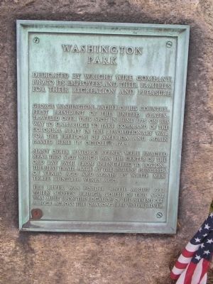
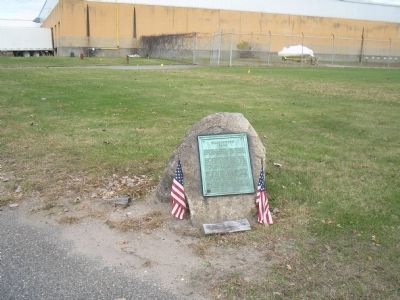
Washington Park
George Washington, Father of his country – first President of the United States – traveled over this spot in June 1775 on his way to Cambridge to take command of the Colonial Army in the Revolutionary War for the freedom of America, and again passed here in October, 1789.
Many other historic events were enacted near this spot which was the center of the Old Bay Path from Springfield to Boston – the first trail made by the Indians hundreds of years ago and again by white men three hundred years ago.
The river was forded until about 1732 when Scott’s Bridge, south of this spot, was built upon the location of the present old bridge across the Quaboag (Red Water) River.
Erected 1919 by Wright Wire Company.
Topics. This historical marker is listed in these topic lists: Notable Events • Notable Places • War, US Revolutionary. A significant historical month for this entry is June 1775.
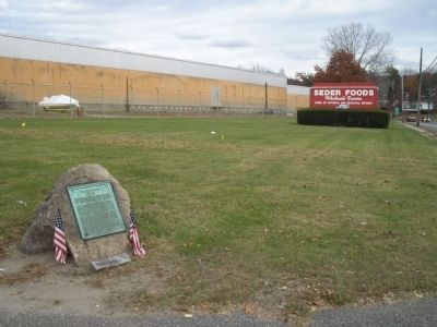
Location. 42° 9.703′ N, 72° 20.855′ W. Marker is in Palmer, Massachusetts, in Hampden County. Marker is on Wilbraham Street (U.S. 20), on the left when traveling east. Touch for map. Marker is in this post office area: Palmer MA 01069, United States of America. Touch for directions.
Other nearby markers. At least 8 other markers are within 8 miles of this marker, measured as the crow flies. Gen. Henry Knox Trail (approx. ¼ mile away); George Washington Memorial Highway (approx. ¼ mile away); This Bell (approx. 1.6 miles away); First Meetinghouse Bell (approx. 1.7 miles away); a different marker also named Gen. Henry Knox Trail (approx. 4.1 miles away); Civilian Conservation Corps (1933-1941) (approx. 5.8 miles away); Steerage Rock (approx. 8 miles away); Indian Hill (approx. 8 miles away). Touch for a list and map of all markers in Palmer.
Credits. This page was last revised on June 16, 2016. It was originally submitted on November 11, 2009, by Bill Coughlin of Woodland Park, New Jersey. This page has been viewed 1,008 times since then and 14 times this year. Photos: 1, 2, 3. submitted on November 11, 2009, by Bill Coughlin of Woodland Park, New Jersey.


