
Broken Bow in McCurtain County, Oklahoma — The American South (West South Central)
Military Road
Choctaw Trail of Tears
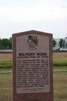
Photographed by Byron Hooks, October 21, 2009
1. Military Road - Choctaw Trail of Tears Marker
Cut from Washington, Ark., to Fort Towson in 1831 for removal of Choctaws from Miss., became known as Choctaw Trail of Tears after thousands of suffering Indians used it to reach new lands. Road served as major east-west artery for Choctaw Nation until early 1900s. Important early Choctaw settlements on road were Harris Mill, Eagletown, Lukfata, Wheelock and Clear Creek. Segments of road still identifiable and visible.
Erected 1995 by Oklahoma Historical Society. (Marker Number 203-1995.)
Topics and series. This historical marker is listed in these topic lists: Indigenous Peoples and Communities • Military. In addition, it is included in the Oklahoma Historical Society, and the Trail of Tears series lists. A significant historical year for this entry is 1831.
Location. 34° 1.568′ N, 94° 44.243′ W. Marker is in Broken Bow, Oklahoma, in McCurtain County. It is on W, Craig Rd (U.S. 70) ¼ mile east of U.S. 259, on the left when traveling west. Touch for map. Marker is in this post office area: Broken Bow OK 74728, United States of America. Touch for directions.

Regionally, this marker is in Oklahoma’s Choctaw Nation. It is also in the American South, specifically in the Piney Woods, on the prairies, and on the Southern Plains. Globally, it is in North America, the Western Hemisphere, the Western World, and the Anglosphere. Historically, it finds itself in what was once New Spain, the territory of the Mississippian Culture, and the Louisiana Purchase.
Other nearby markers. At least 5 other markers are within 12 miles of this marker, measured as the crow flies: Hochatown, Oklahoma (approx. 8.9 miles away); Operation Desert Shield/Storm Memorial (approx. 10.4 miles away); We Served Proudly (approx. 10.4 miles away); Miller Courthouse (approx. 11.4 miles away); Shawneetown (approx.
this page online
Another marker is no longer nearby. Shawneetown (was approx. 11.4 miles away but has been confirmed missing).
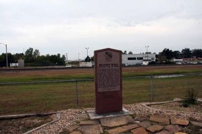
Photographed by Byron Hooks, October 21, 2009
2. Military Road - Choctaw Trail of Tears Marker
Credits. This page was last revised on November 22, 2025. It was originally submitted on November 11, 2009, by Byron Hooks of Sandy Springs, Georgia. This page has been viewed 6,656 times since then and 62 times this year. Photos: 1, 2. submitted on November 11, 2009, by Byron Hooks of Sandy Springs, Georgia. • Bill Pfingsten was the editor who published this page.
