Nauvoo in Hancock County, Illinois — The American Midwest (Great Lakes)
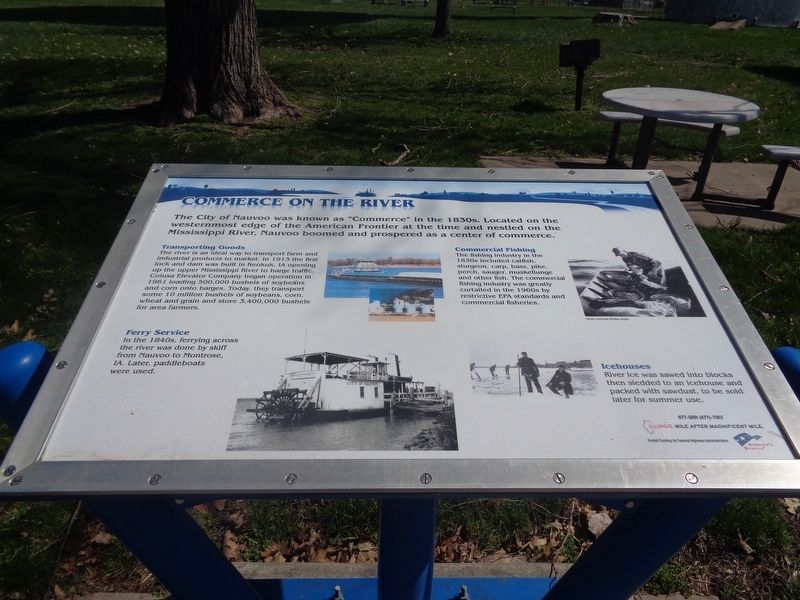
Commerce on the River
Photographed by Jason Voigt, March 28, 2024
1. Commerce on the River Marker
Transporting Goods
The river is an ideal way to transport farm and industrial products to market. In 1913 the first lock and dam was built in Keokuk, IA opening up the upper Mississippi River to barge traffic. Colusa Elevator Company began operation in 1961 loading 500,000 bushels of soybeans and corn onto barges. Today, they transport some 10 million bushels of soybeans, corn, wheat and grain and store 3,400,000 bushels for area farmers.
Ferry Service
In the 1840s, ferrying across the river was done by skiff from Nauvoo to Montrose, IA. Later, paddleboats were used.
Commercial Fishing
The fishing industry in the 1830s included catfish, sturgeon, carp, bass, pike, perch, sauger, muskellunge and other fish. The commercial fishing industry was greatly curtailed in the 1960s by restrictive EPA standards and commercial fisheries.
Icehouses
River ice was sawed into blocks then sledded to an icehouse
this page online
Erected by America's Byways.
Topics. This historical marker is listed in these topic lists: Agriculture • Industry & Commerce • Waterways & Vessels. A significant historical year for this entry is 1913.
Location. 40° 33.036′ N, 91° 22.999′ W. Marker is in Nauvoo, Illinois, in Hancock County. It is on Bluff Street south of Knight Street, on the right when traveling north. Marker is located at Nauvoo City Park. Touch for map. Marker is at or near this postal address: 60 Bluff St, Nauvoo IL 62354, United States of America. Touch for directions.

Regionally, this marker is in Central Illinois. It is also in the American Midwest, in the Corn Belt, and in the Great River Road Region. Globally, it is in North America, the Western Hemisphere, the Western World, and the Anglosphere. Historically, it finds itself in what was once the territory of the Mississippian Culture and also the Northwest Territory.
Other nearby markers. At least 8 other markers are within walking distance of this marker: Nauvoo (here, next to this marker); The Prophet's Last Ride (about
Photographed by Jason Voigt, March 28, 2024
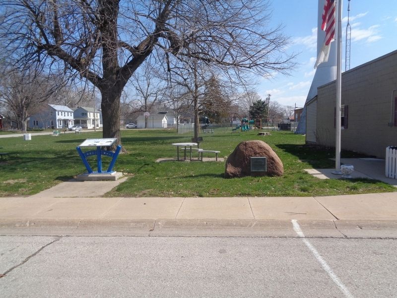
2. Commerce on the River Marker
Marker is located at Nauvoo City Park.
Credits. This page was last revised on March 31, 2024. It was originally submitted on March 31, 2024, by Jason Voigt of Glen Carbon, Illinois. This page has been viewed 308 times since then and 56 times this year. Photos: 1, 2. submitted on March 31, 2024, by Jason Voigt of Glen Carbon, Illinois.
