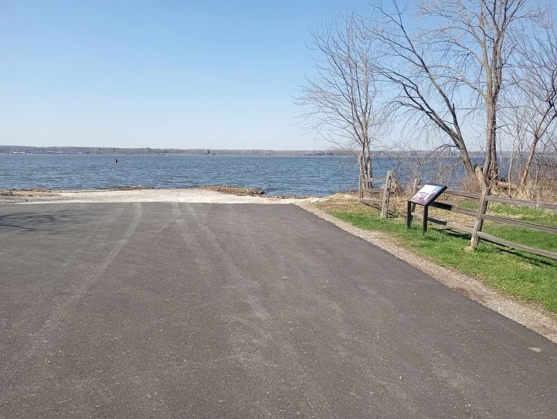
Nauvoo in Hancock County, Illinois — The American Midwest (Great Lakes)
Into the Unknown
Mormon Pioneer National Historic Trail
—
Nauvoo, Illinois
—
Photographed by Jason Voigt, March 28, 2024
1. Into the Unknown Marker
Inscription.
Into the Unknown. Mormon Pioneer National Historic Trail. Nauvoo was the Latter-day Saints' home for seven years. But they faced increasing conflict with their neighbors. Church leaders planned to leave Nauvoo in the spring of 1846. Latter-day Saints gathered supplies, built wagons, and organized into companies. They hoped to build a new community west of the Rocky Mountains. However, threats of violence persisted. Brigham Young advanced the departure of the first 2,000 emigrants. Despite the cold, they felt compelled to leave in February. , Their journey began by taking a ferry across the Mississippi River - the first of several river crossings. Already cold temperatures plummeted further. The river froze, enabling 500 more people to cross and join the group. Their hasty departure left many ill equipped for the road ahead. Winter weather made conditions even worse. It took them a month to travel the first 100 miles (160 km), instead of the expected 10 days. , (side quote:), "To see such a large body of men, women and children, compelled by the inefficiency of the law, and potency of mobocracy, to leave a great city in the month of February, for the sake of the enjoyment of pure religion, fills the soul with astonishment…", Times and Seasons, , February 1, 1846
Nauvoo was the Latter-day Saints' home for seven years. But they faced increasing conflict with their neighbors. Church leaders planned to leave Nauvoo in the spring of 1846. Latter-day Saints gathered supplies, built wagons, and organized into companies. They hoped to build a new community west of the Rocky Mountains. However, threats of violence persisted. Brigham Young advanced the departure of the first 2,000 emigrants. Despite the cold, they felt compelled to leave in February.
Their journey began by taking a ferry across the Mississippi River - the first of several river crossings. Already cold temperatures plummeted further. The river froze, enabling 500 more people to cross and join the group. Their hasty departure left many ill equipped for the road ahead. Winter weather made conditions even worse. It took them a month to travel the first 100 miles (160 km), instead of the expected 10 days.
(side quote:)
"To see such a large body of men, women and children, compelled by the inefficiency of the law, and potency of mobocracy, to leave a great city in the month of February, for the sake of the enjoyment of
Click or scan to see this page online
pure religion, fills the soul with astonishment…"
Times and Seasons,
February 1, 1846
Erected by Iowa Mormon Trails Association and National Park Service.
Location. 40° 32.58′ N, 91° 24.059′ W. Marker is in Nauvoo, Illinois, in Hancock County. It is at the intersection of Parley Street and Water Street, on the right when traveling west on Parley Street. Touch for map. Marker is at or near this postal address: 175 Water St, Nauvoo IL 62354, United States of America. Touch for directions.
Regionally, this marker is in Central Illinois. It is also in the American Midwest, in the Corn Belt, and in the Great River Road Region. Globally, it is in North America, the Western Hemisphere, the Western World, and the Anglosphere. Historically, it finds itself in what was once the territory of the Mississippian Culture and also the Northwest Territory.
Credits. This page was last revised on March 31, 2024. It was originally submitted on March 31, 2024, by Jason Voigt of Glen Carbon, Illinois. This page has been viewed 212 times since then and 11 times this year. Photos:1, 2. submitted on March 31, 2024, by Jason Voigt of Glen Carbon, Illinois.