Alviso in Santa Clara County, California — The American West (Pacific Coastal)
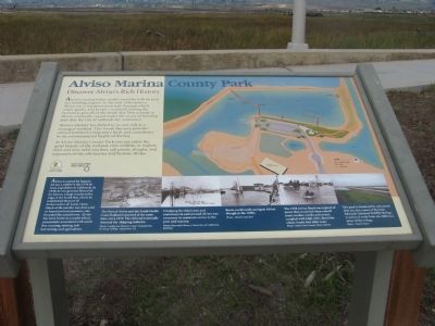
Discover Alviso’s Rich History
Alviso Marina County Park
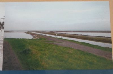
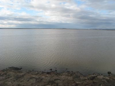
Alviso’s identity has shifted to its new role as a managed wetland. This South Bay area provides critical habitat for migratory birds and contributes to the environmental health of the bay.
At Alviso Marina County Park you can enjoy the quiet beauty of the wetland, view wildlife, or explore tidal and non-tidal marshes, salt ponds, sloughs, and remnants of the old marina and historic Alviso.
Erected by Santa Clara County Parks and Santa Clara Valley Water District.
Topics. This historical marker is listed in these topic lists: Environment • Industry & Commerce • Natural Resources • Notable Places.
Location. 37° 25.796′ N, 121° 58.763′ W. Marker is in Alviso, California, in Santa Clara County. Marker can be reached from Hope Street. Marker is located at the entrance to the hiking trail at the Alviso Marina County Park. Touch for map. Marker is in this post office area: Alviso CA 95002, United States of America. Touch for directions.
Other nearby markers. At least 8 other markers are within walking distance of this marker. The Port and Town of Alviso (a few steps from this marker); Water Everywhere (within shouting distance of this marker); The Steamboat Jenny Lind Disaster (within shouting distance of this marker); Salt Ponds (about 400 feet away, measured in a direct line); Location, Location, Location (about 500 feet away); China Camp (about 600 feet away); Bayside Cannery (about 600 feet away); Union Warehouse and Docks (about 700 feet away). Touch for a list and map of all markers in Alviso.
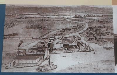
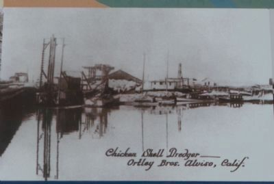
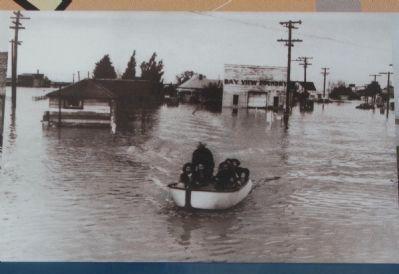
2. Close-Up of Photo on Marker
Alviso is named for Ignacio Alviso, a soldier in the 1776 de Anza expedition to California. In 1838, he was granted Rincon de los Esteros, a large rancho at the edge of the South Bay, where he established the port of Embarcadero de Santa Clara.
Much of the rancho was then sold to American businessmen, who founded the actual town. Alviso has been home to a multi-ethnic community associated with south Bay canning, mining, salt harvesting, and agriculture.
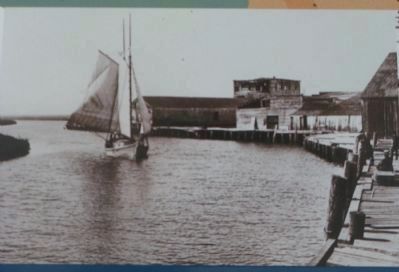
The Port of Alviso and the South Pacific Coast Railroad operated at the same time, circa 1870. The railroad eventually doomed the shipping industry.
Photo: California History Center Foundation
De Anza College, Cupertino, Ca.
Credits. This page was last revised on February 7, 2023. It was originally submitted on November 11, 2009, by Syd Whittle of Mesa, Arizona. This page has been viewed 1,876 times since then and 68 times this year. Photos: 1, 2, 3, 4, 5, 6, 7. submitted on November 11, 2009, by Syd Whittle of Mesa, Arizona.
