Buffalo in Johnson County, Wyoming — The American West (Mountains)
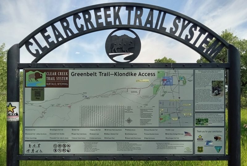
Greenbelt Trail–Klondike Access
— Welcome to the Clear Creek Trail System —
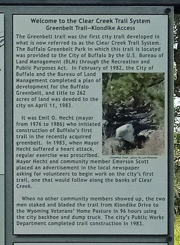
The Greenbelt trail was the first city trail developed in what is now referred to as the Clear Creek Trail System. The Buffalo Greenbelt Park in which this trail is located was provided to the City of Buffalo by the U.S. Bureau of Land Management (BLM) through the Recreation and Public Purposes Act. In February of 1982, the City of Buffalo and the Bureau of Land Management completed a plan of development for the Buffalo Greenbelt, and title to 262 acres of land was deeded to the city on April 11, 1983.
It was Emil O. Hecht (mayor from 1976 to 1986) who initiated construction of Buffalo's first trail in the recently acquired greenbelt. In 1983, when Mayor Hecht suffered a heart attack, regular exercise was prescribed. Mayor Hecht and community member Emerson Scott placed an advertisement in the local newspaper asking for volunteers to begin work on the city's first trail, one that would follow along the banks of Clear Creek.
When no other community members showed up, the two men staked and bladed the trail from Klondike Drive to the Wyoming Veterans' Home Pasture in 96 hours using the city backhoe and dump truck. The city's Public Works Department completed trail construction in 1983.
Erected by Johnson County Recreation District.
Topics. This historical marker is listed in these topic lists: Government & Politics • Parks & Recreational Areas • Science & Medicine. A significant historical year for this entry is 1983.
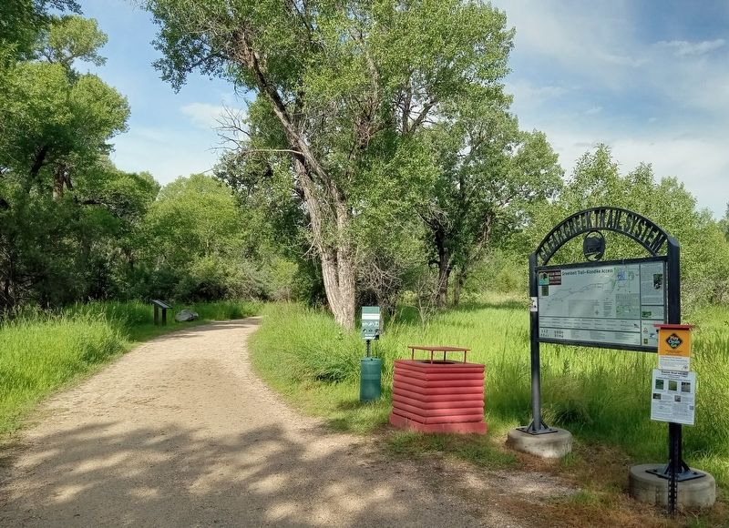
Location. 44° 20.609′ N, 106° 42.411′ W. Marker is in Buffalo, Wyoming, in Johnson County. Marker can be reached from Klondike Drive south of N. Desmet Avenue, on the right when traveling south. The marker is on the Greenbelt Trail just west of Klondike Avenue, which has a small parking area. Touch for map. Marker is in this post office area: Buffalo WY 82834, United States of America. Touch for directions.
Other nearby markers. At least 8 other markers are within walking distance of this marker. Pelloux Bridge (approx. 0.2 miles away); Washington Park Trailhead (approx. Ľ mile away); Living on the Edge (approx. 0.4 miles away); Occidental Hotel (approx. half a mile away); Crazy Woman Story (approx. half a mile away); Early Johnson County (approx. half a mile away); Heritage Mall (approx. half a mile away); Historic Buffalo, Wyoming (approx. half a mile away). Touch for a list and map of all markers in Buffalo.
Credits. This page was last revised on April 3, 2024. It was originally submitted on April 3, 2024, by McGhiever of Minneapolis, Minnesota. This page has been viewed 43 times since then. Photos: 1, 2, 3. submitted on April 3, 2024, by McGhiever of Minneapolis, Minnesota.


