Winchester in Frederick County, Virginia — The American South (Mid-Atlantic)
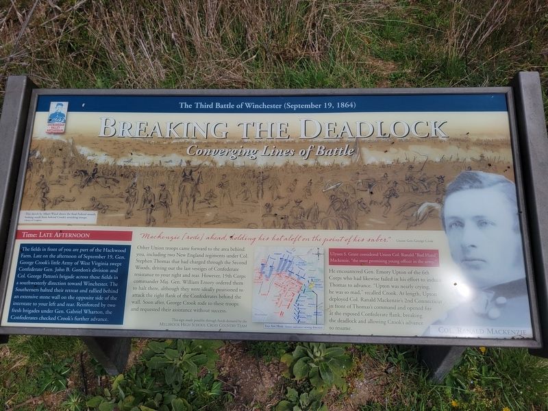
Breaking the Deadlock
Converging Lines of Battle
— The Third Battle of Winchester (September 19, 1864) —
The fields in front of you are part of the Hackwood Farm Late on the afternoon of September 19, Gen. George Crook's little Army of West Virginia swept Confederate Gen. John B. Gordon's division and Col. George Patton's brigade across these fields in a southwesterly direction toward Winchester. The Southerners halted their retreat and rallied behind an extensive stone wall on the opposite side of the interstate to your left and rear. Reinforced by two fresh brigades under Gen. Gabriel Wharton, the Confederates checked Crook's further advance.
"Mackenzie (rode) ahead, holding his hat aloft on the point of his saber." - Union Gen. George Cook
Other Union troops came forward to the area behind you, including two New England regiments under Col. Stephen Thomas that had charged through the Second Woods, driving out the last vestiges of Confederate resistance to your right and rear. However, 19th Corps commander Maj. Gen. William Emory ordered them to halt there, although they were ideally positioned to attack the right flank of the Confederates behind the wall. Soon after, George Crook rode to these troops and requested their assistance without success.
He encountered Gen. Emory Upton of the 6th Corps who had likewise failed in his effort to induce Thomas to advance. "Upton was nearly crying, he was so mad," recalled Crook. At length. Upton deployed Col. Ranald Mackenzie's 2nd Connecticut in front of Thomas's command and opened fire at the exposed Confederate flank, breaking the deadlock and allowing Crook's advance to resume.
(captions)
This sketch by Allen Waud shows the final Federal assault, looking south from behind Crook's attacking troops. Library of Congress.
Ulysses S. Grant considered Union Col. Ranald "Bad Hand" Mackenzie, "the most promising young officer in the army."
Col. Ranald Mackenzie
This sign made possible through funds donated by the Millbrook High School Cross Country Team
Erected by Shenandoah Valley Battlefields National Historic District.
Topics. This historical marker is listed in this topic list: War, US Civil. A significant historical date for this entry is September 16, 1864.
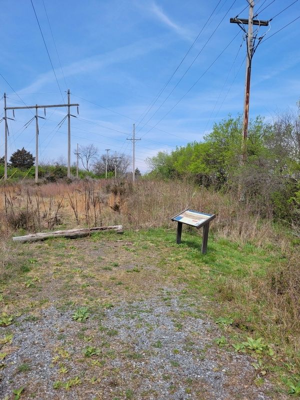
Location. 39° 12.002′ N, 78° 7.978′ W. Marker is in Winchester, Virginia, in Frederick County. Marker can be reached from Redbud Road (Virginia Route 661) 0.9 miles east of Martinsburg Pike (U.S. 11), on the right when traveling east. The marker is located along the Third Battle of Winchester Trail. Touch for map. Marker is at or near this postal address: 541 Redbud Rd, Winchester VA 22603, United States of America. Touch for directions.
Other nearby markers. At least 8 other markers are within walking distance of this marker. Bloody Repulse (about 800 feet away, measured in a direct line); Major General Robert Emmett Rodes (approx. 0.2 miles away); Counterattack! (approx. 0.2 miles away); Hackwood And Patton (approx. 0.3 miles away); Alabama (approx. 0.3 miles away); The Cost of Battle (approx. 0.3 miles away); Fury On The Fence Line (approx. 0.3 miles away); Sheridan Renews The Attack (approx. 0.4 miles away). Touch for a list and map of all markers in Winchester.
Also see . . . James R. Wilkins Winchester Battlefields Visitor Center. Shenandoah Valley Battlefields Foundation (Submitted on April 5, 2024.)
Credits. This page was last revised on April 5, 2024. It was originally submitted on April 4, 2024, by Jeremy Snow of Cedar City, Utah. This page has been viewed 57 times since then. Photos: 1, 2. submitted on April 4, 2024, by Jeremy Snow of Cedar City, Utah. • Bernard Fisher was the editor who published this page.

