Near Kinderhook in Columbia County, New York — The American Northeast (Mid-Atlantic)
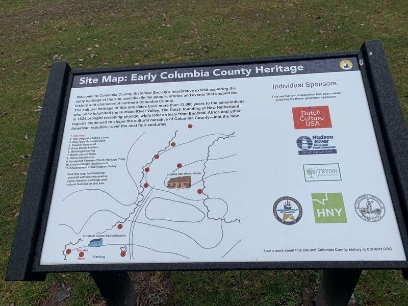
Site Map: Early Columbia County Heritage
Welcome to Columbia County Historical Society's interpretive exhibit exploring the early heritage of the site, specifically the people, stories and events that shaped the history and character of northern Columbia County.
The cultural heritage of this site dates back more than 12,000 years to the paleoindians who once inhabited the Hudson River Valley. The Dutch founding of New Netherland in 1624 brought sweeping change, while later arrivals from England, Africa and other regions continued to shape the cultural narrative of Columbia County-and the new American republic - over the next four centuries.
1. Site Map
2. The Original Ichabod Crane
3. One-room Schoolhouses
4. Eleanor Roosevelt
5. Early Dutch Settlers
6. Washington Irving
7. Black Locust Trees
8. Native Inhabitants
9. Immigrant Farmers (Dutch Heritage Trail)
10. Colonial Dutch Architecture
11. Enslavement in the Hudson Valley
Use this map to familiarize yourself with the interpretive signs, historic buildings and natural features of this site.
Erected by Columbia County Historical Society.
Topics. This historical marker is listed in these topic lists: Colonial Era • Immigration • Settlements & Settlers. A significant historical year for this entry is 1624.
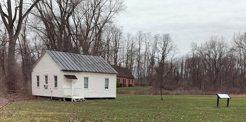
Location. 42° 22.742′ N, 73° 41.439′ W. Marker is near Kinderhook, New York, in Columbia County. Marker can be reached from New York State Route 9H, 0.2 miles north of Fischer Road, on the right when traveling south. Marker is in the parking lot for Ichabod Crane Schoolhouse. Touch for map. Marker is at or near this postal address: 2589 NY-9H, Kinderhook NY 12106, United States of America. Touch for directions.
Other nearby markers. At least 8 other markers are within walking distance of this marker. The Original Ichabod Crane (about 400 feet away, measured in a direct line); One-Room Schoolhouses (about 500 feet away); Ichabod Crane (about 500 feet away); Eleanor Roosevelt at Ichabod Crane (about 500 feet away); Early Dutch Settlers (about 600 feet away); Washington Irving (about 700 feet away); Van Alen Homestead (about 700 feet away); Enslavement In The Hudson Valley (about 800 feet away). Touch for a list and map of all markers in Kinderhook.
More about this marker. Initial marker of Ichabod Crane Schoolhouse Trail. The marker has a map of the trail, brief introduction to the site, and the names of sponsors for the markers.
Also see . . . Columbia County Historical Society. Link noted on the marker for more information (Submitted on April 5, 2024, by Steve Stoessel of Niskayuna, New York.)
Credits. This page was last revised on April 11, 2024. It was originally submitted on April 5, 2024. This page has been viewed 34 times since then. Photos: 1. submitted on April 5, 2024, by Steve Stoessel of Niskayuna, New York. 2. submitted on April 5, 2024. • Bill Pfingsten was the editor who published this page.

