Smithfield in Isle of Wight County, Virginia — The American South (Mid-Atlantic)
Fort Huger
Why Here?
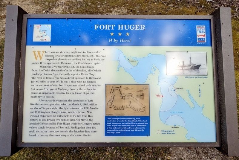
When the Civil War broke out, the Confederacy found itself with thousands of miles of shoreline, all of which needed protection from the vastly superior Union Navy. The river in front of you was a direct approach to Richmond just 60 miles to your left. It was a river with no defenses on the outbreak of war. Fort Huger was paired with another fort across from you at Mulberry Point with the hope to create an impassable crossfire for any Union ships that might try to pass by.
After a year in operation, the usefulness of forts like this was compromised when on March 8, 1862, within earshot off to your right, the fight between the USS Monitor and CSS Virginia changed naval warfare forever. New ironclad ships were not vulnerable to the fire from this battery as was proven two months later. On May 8, the ironclad Galena shelled Fort Huger while Fort Huger's return volleys simply bounced off her hull. Finding that their fire could not harm these new vessels, the defenders here were forced to destroy their weaponry and abandon the fort.
(captions)
Labor shortages in the Confederacy made construction of works like this difficult. Often local Black populations were either hired or pressed into work. Huger was constructed with a combination of free and enslaved labor. Free workers or the owners of the enslaved were paid 50 cents for each day's work.
USS Galena, by Oscar Parkes
Firing ranges of James River forts
Erected by Virginia Civil War Trails.
Topics and series. This historical marker is listed in these topic lists: Forts and Castles • War, US Civil • Waterways & Vessels. In addition, it is included in the Virginia Civil War Trails series list. A significant historical date for this entry is May 8, 1862.
Location. 37° 6.667′ N, 76° 39.695′ W. Marker is in Smithfield, Virginia, in Isle of Wight County. Marker can be reached from the intersection of Talcott Terrace and Lawnes Neck Drive, on the right when traveling east. Touch for map. Marker is at or near this postal address: 15080 Talcott Ter, Smithfield VA 23430, United States of America. Touch for directions.
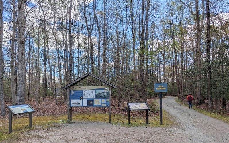
Other nearby markers. At least 8 other markers are within walking distance of this marker. Welcome to Fort Huger (here, next to this marker); a different marker also named Fort Huger (a few steps from this marker); Encampment (within shouting distance of this marker); Fifth Battalion Virginia Infantry (within shouting distance of this marker); Bridge (about 500 feet away, measured in a direct line); Fort Entrance & Defense (approx. 0.2 miles away); The Fort (approx. 0.2 miles away); Hot Shot Furnace & Shell House (approx. ¼ mile away). Touch for a list and map of all markers in Smithfield.
Related marker. Click here for another marker that is related to this marker. Old CWT Marker At This Location also titled Fort Huger.
Also see . . . Fort Huger. Isle of Wight County Museum (Submitted on April 6, 2024.)
Credits. This page was last revised on April 7, 2024. It was originally submitted on April 5, 2024, by Bernard Fisher of Richmond, Virginia. This page has been viewed 39 times since then. Photos: 1. submitted on April 5, 2024, by Bernard Fisher of Richmond, Virginia. 2. submitted on April 6, 2024, by Bernard Fisher of Richmond, Virginia.

