
Trillium Industrial Park in Kitchener in Waterloo Region, Ontario — Central Canada (North America)
The Huron Road
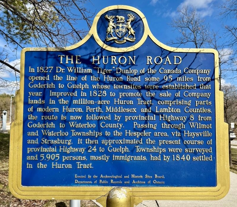
Photographed by Tim Boyd, March 31, 2024
1. The Huron Road Marker
Erected by Archaeological and Historic Sites Board, Departments of Public Records and Archives of Ontario.
Topics and series. This historical marker is listed in this topic list: Roads & Vehicles. In addition, it is included in the Canada, Ontario Heritage Trust series list. A significant historical year for this entry is 1827.
Location. 43° 24.034′ N, 80° 26.26′ W. Marker is in Kitchener, Ontario, in Waterloo Region. It is in Trillium Industrial
this page online

Regionally, this marker is in the Huron-Perth-Waterloo-Wellington Area and in Southwestern Ontario. It is also in Central Canada. Globally, it is in North America, the Western Hemisphere, the Western World, and the Anglosphere. Historically, it finds itself in what was once a British colony, the Viceroyalty of New France, the Haudenosaunee (Iroquois) Confederacy, and Rupert’s Land.
Other nearby markers. At least 8 other markers are within 2 kilometers of this marker, measured as the crow flies: Waterloo Historical Society (a few steps from this marker); Huron Road Bridge (about 180 meters away, measured in a direct line); Huron Road Crossroads at Bechtel’s Ford (approx. 0.4 kilometers away); Homer Ransford Watson (approx. 1.7 kilometers away); Doon School of Fine Arts 1948-1966 (approx. 1.7 kilometers away); Waterloo Pioneer Memorial Tower
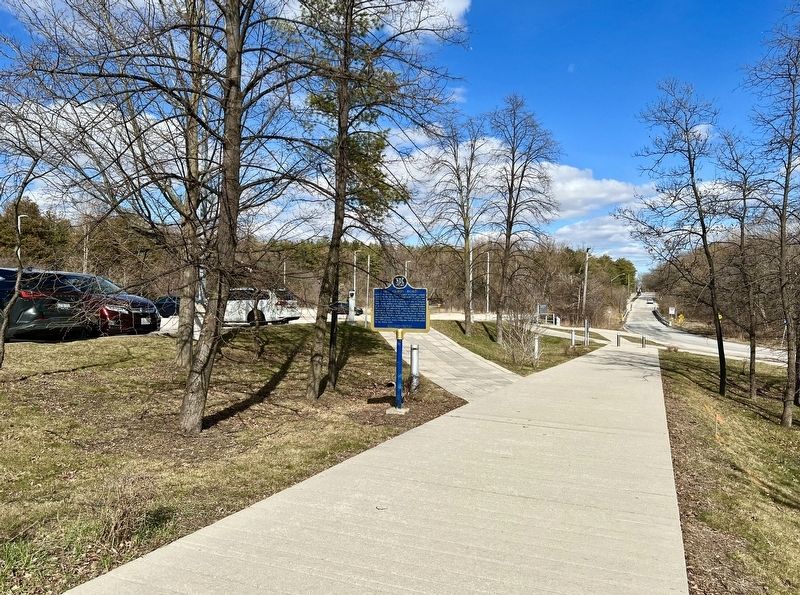
Photographed by Tim Boyd, March 31, 2024
2. The Huron Road Marker
Also see . . . Out for the day: Old Huron Road linked Guelph to Goderich. Guelph Murcury article from 2010
The Huron Road was built in the early 1800s to be the transportation backbone of a huge area between Guelph and the port of Goderich on Lake Huron — a way for settlers to get to land they bought from the Canada Company. John Galt, a man of many strengths, was the company’s organizer in Upper Canada.(Submitted on April 5, 2024, by Tim Boyd of Hamilton, Ontario.)
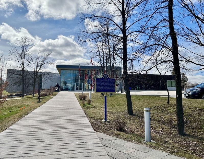
Photographed by Tim Boyd, March 31, 2024
3. The Huron Road marker (Waterloo Region Museum in the background)
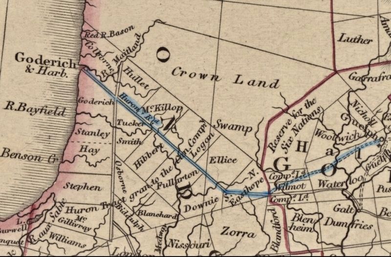
1837
4. The Huron Road, highlighted on a map of Upper Canada, 1837
Source: York University
Credits. This page was last revised on April 9, 2025. It was originally submitted on April 5, 2024, by Tim Boyd of Hamilton, Ontario. This page has been viewed 1,161 times since then and 144 times this year. Photos: 1, 2, 3, 4. submitted on April 5, 2024, by Tim Boyd of Hamilton, Ontario. • Andrew Ruppenstein was the editor who published this page.
