Macon in Bibb County, Georgia — The American South (South Atlantic)
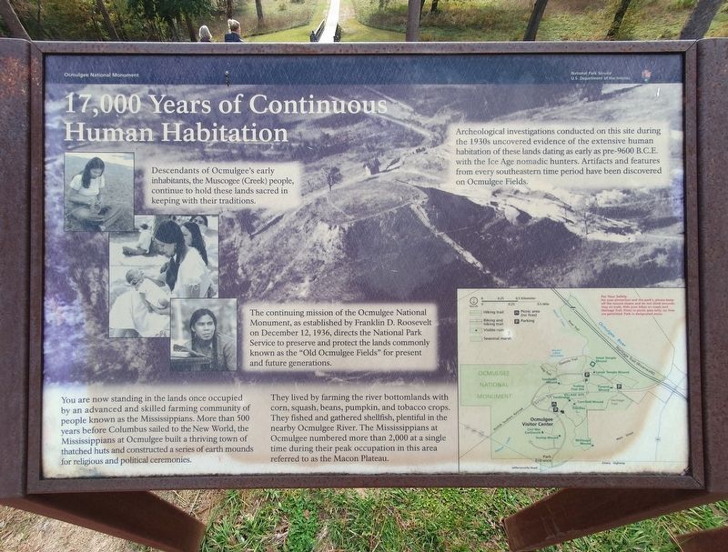
17,000 Years of Continuous Human Habitation
Ocmulgee National Monument
Inscription.
17,000 Years of Continuous Human Habitation
Descendants of Ocmulgee's early inhabitants, the Muscogee (Creek) people, continue to hold these lands sacred in keeping with their traditions.
Archeological investigations conducted on this site during the 1930s uncovered evidence of the extensive human habitation of these lands dating as early as pre-9600 B.C.E. with the Ice Age nomadic hunters. Artifacts and features from every southeastern time period have been discovered on Ocmulgee Fields.
The continuing mission of the Ocmulgee National Monument, as established by Franklin D. Roosevelt on December 12, 1936, directs the National Park Service to preserve and protect the lands commonly known as the "Old Ocmulgee Fields" for present and future generations.
You are now standing in the lands once occupied by an advanced and skilled farming community of people known as the Mississippians. More than 500 years before Columbus sailed to the New World, the Mississippians at Ocmulgee built a thriving town of thatched huts and constructed a series of earth mounds for religious and political ceremonies.
They lived by farming the river bottomlands with corn, squash, beans, pumpkin, and tobacco crops. They fished and gathered shellfish, plentiful in the nearby Ocmulgee River. The Mississippians at Ocmulgee numbered more than 2,000 at a single time during their peak occupation in this area referred to as the Macon Plateau.
Erected by National Park Service.
Topics. This historical marker is listed in these topic lists: Native Americans • Parks & Recreational Areas. A significant historical date for this entry is December 12, 1936.
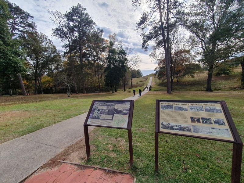
Location. 32° 50.531′ N, 83° 36.24′ W. Marker is in Macon, Georgia, in Bibb County. Marker is on Ocmulgee National Park Road, on the right when traveling east. The marker is directly south of the visitor center toward the Earth Lodge. Touch for map. Marker is at or near this postal address: 1207 Emery Hwy, Macon GA 31217, United States of America. Touch for directions.
Other nearby markers. At least 8 other markers are within walking distance of this marker. The Civilian Conservation Corps (CCC) 1933-1942 (here, next to this marker); Yaupon Holly (a few steps from this marker); Ocmulgee National Monument (within shouting distance of this marker); Battles of Dunlap Farm (about 300 feet away, measured in a direct line); The Dunlap House (about 300 feet away); William Bartram Trail (about 400 feet away); Cornfield Mound and Prehistoric Trenches (about 500 feet away); Ocmulgee's Earth Lodge - America's Oldest Ceremonial Lodge (about 500 feet away). Touch for a list and map of all markers in Macon.
Credits. This page was last revised on April 6, 2024. It was originally submitted on April 6, 2024, by J. Makali Bruton of Accra, Ghana. This page has been viewed 45 times since then. Photos: 1, 2. submitted on April 6, 2024, by J. Makali Bruton of Accra, Ghana.

