Broadkill Hundred in Wiltbank Landing in Sussex County, Delaware — The American Northeast (Mid-Atlantic)
Songbirds
Neotropical Migrants
Photographed by Pete Skillman, April 6, 2024
1. Songbirds Marker
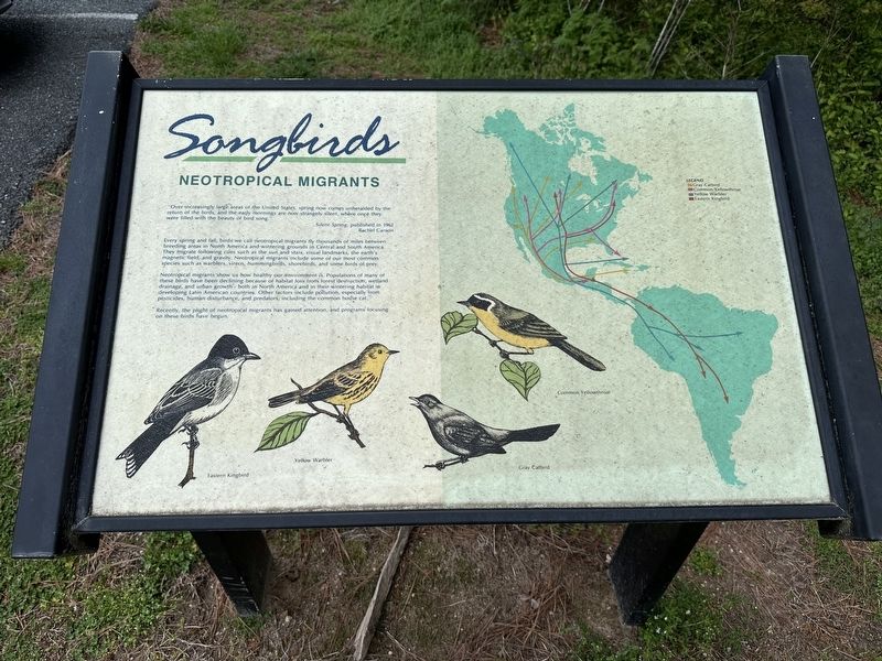
"Over increasingly large areas of the United States, spring now comes unheralded by the return of the birds, and the early mornings are now strangely silent, where once they were filled with the beauty of bird song."
Silent Spring, published in 1962
Rachel Carson
Every spring and fall, birds we call neotropical migrants fly thousands of miles between breeding areas in North America and wintering grounds in Central and South America. They migrate following cues such as the sun and stars, visual landmarks, the earth's magnetic field, and gravity. Neotropical migrants include some of our most common species such as warblers, vireos, hummingbirds, shorebirds, and some birds of prey.
Neotropical migrants show us how healthy our environment is. Populations of many of these birds have been declining because of habitat loss from forest destruction, wetland drainage, and urban growth - both in North America and in their wintering habitat in developing Latin American countries. Other factors include pollution, especially from pesticides, human disturbance, and predators, including the common house cat.
Recently, the
this page online
Topics. This historical marker is listed in these topic lists: Animals • Environment.
Location. 38° 49.447′ N, 75° 15.258′ W. Marker is in Wiltbank Landing, Delaware, in Sussex County. It is in Broadkill Hundred. It is at the intersection of Turkle Pond Road and Black Farm Trail, on the right when traveling north on Turkle Pond Road. Touch for map. Marker is at or near this postal address: Turkle Pond Road, Milton DE 19968, United States of America. Touch for directions.

Regionally, this marker is in the American Mid-Atlantic, on the Delmarva Peninsula, and on the Eastern Seaboard. Globally, it is in the North Atlantic Region, North America, the Western Hemisphere, the Western World, and the Anglosphere. Historically, it finds itself in what was once New Netherland, one of the original Thirteen Colonies, and the Antebellum South.
Other nearby markers. At least 8 other markers are within 3 miles of this marker, measured as the crow flies: History of Prime Hook National Wildlife Refuge
Photographed by Pete Skillman, April 6, 2024
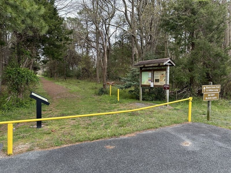
2. Songbirds Marker at left
Additional commentary.
1. About the marker
Because this marker shares how the history of human activity has affected the population of the local wildlife.
— Submitted April 8, 2024, by Devry Becker Jones of Washington, District of Columbia.
Credits. This page was last revised on June 5, 2026. It was originally submitted on April 6, 2024, by Pete Skillman of Wilmington, Delaware. This page has been viewed 140 times since then and 10 times this year. Photos: 1, 2. submitted on April 6, 2024, by Pete Skillman of Wilmington, Delaware. • Devry Becker Jones was the editor who published this page.
