Harmony in Butler County, Pennsylvania — The American Northeast (Mid-Atlantic)
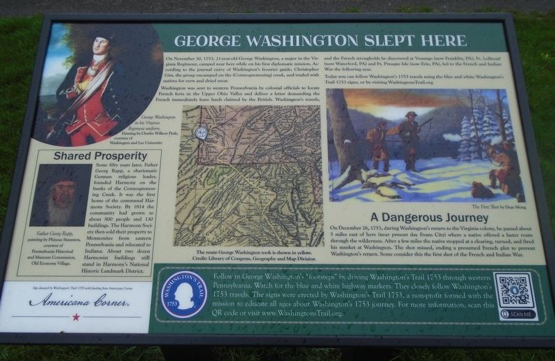
George Washington Slept Here
[Top left painting caption reads] George Washington in his Virginia Regiment uniform. Painting by Charles Willson Peale
On November 30, 1753, 21-year-old George Washington, a major in the Virginia Regiment, camped near here while on his first diplomatic mission. According to the journal entry of Washington's frontier guide, Christopher Gist, the group encamped on the (Connoquenessing) creek, and traded with natives for corn and dried meat.
Washington was sent to western Pennsylvania by colonial officials to locate French forts in the Upper Ohio Valley and deliver a letter demanding the French immediately leave lands claimed by the British. Washington's travels, and the French strongholds he discovered at Venango (now Franklin, PA), Ft. LeBeouf (now Waterford, PA) and Ft. Presque Isle (now Erie, PA), led to the French and Indian War the following year.
Today you can follow Washington's 1753 travels using the blue and white Washington's Trail 1753 signs, or by visiting WashingtonsTrail.org
[Center map caption reads] The route George Washington took is shown in yellow.
[Right painting caption reads] The First Shot by Deac Mong
A Dangerous Journey
On December 26, 1753, during Washington's return to the Virginia colony, he passed about 5 miles east of here (near present day Evans City) where a native offered a faster route through the wilderness. After a few miles the native stopped at a clearing, turned, and fired his musket at Washington. The shot missed, ending a presumed French plot to prevent Washington's return. Some consider this the first shot of the French and Indian War.
[Bottom left inset] Shared Prosperity
Some fifty years later, Father Georg Rapp, a charismatic German religious leader, founded Harmony on the banks of the Connoquesnessing Creek. It was the first home of the communal Harmony Society. By 1814 the community had grown to about 800 people and 130 buildings. The Harmony Society then sold their property to Mennonites from eastern Pennsylvania and relocated to Indiana. About two dozen Harmonist buildings still stand in Harmony's National Historic Landmark District.
Father Georg Rapp, painting by Phineas Staunton
[Bottom green banner reads]
Follow in George Washington's "footsteps" by driving Washington's Trail 1753 through western Pennsylvania. Watch for the blue and white highway markers. They closely follow Washington's 1753 travels. The signs were erected by Washington's Trail 1753, a non-profit formed with the mission to educated all ages about Washington's 1753 journey. For more information, scan this QR code or visit www.WashingtonsTrail.org.
Erected by Washington's Trail 1753 and Americana Corner.
Topics and series. This historical marker is listed in these topic lists: Colonial Era • Forts and Castles • War, French and Indian. In addition, it is included in the George Washington Slept Here series list. A significant historical date for this entry is November 30, 1753.
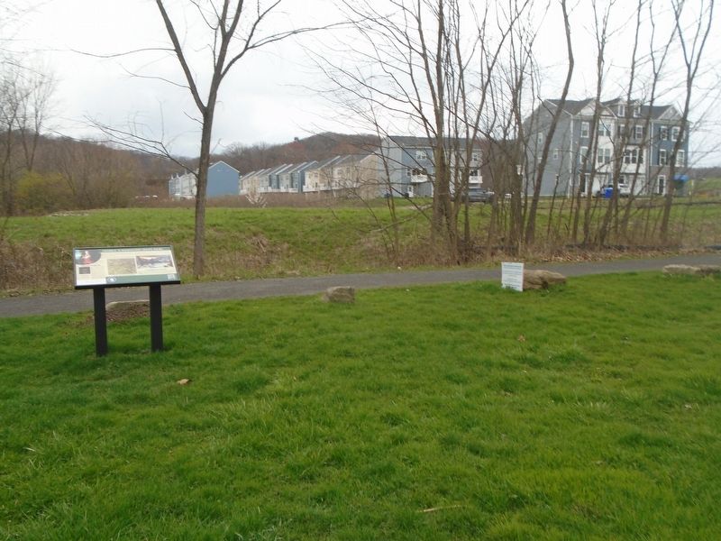
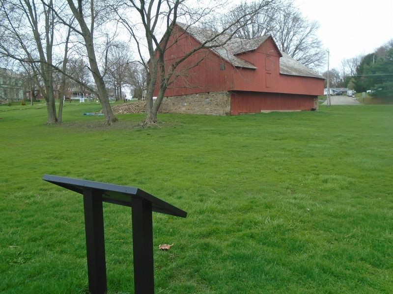
Location. 40° 48.34′ N, 80° 7.468′ W. Marker is in Harmony, Pennsylvania, in Butler County. Marker is at the intersection of Mercer Street and Seneca Drive, on the right when traveling south on Mercer Street. Marker is along the Harmony Trail, about 100 feet west of the Harmonist-Ziegler Barn. Touch for map. Marker is in this post office area: Harmony PA 16037, United States of America. Touch for directions.
Other nearby markers. At least 8 other markers are within walking distance of this marker. Harmonist - Ziegler Barn (within shouting distance of this marker); Rapp's Seat Vineyard Hill (approx. 0.2 miles away); Ca. 1805 Log Cabin (approx. 0.2 miles away); Harmonist Cemetery (approx. ¼ mile away); Harmony (approx. ¼ mile away); Veterans Memorial (approx. ¼ mile away); Visitor Information Center (approx. 0.3 miles away); Harmony Mennonites (approx. 0.3 miles away). Touch for a list and map of all markers in Harmony.
Also see . . . Washington's Trail 1753
. (Submitted on April 6, 2024, by William Fischer, Jr. of Scranton, Pennsylvania.)
Credits. This page was last revised on April 6, 2024. It was originally submitted on April 6, 2024, by William Fischer, Jr. of Scranton, Pennsylvania. This page has been viewed 85 times since then. Photos: 1, 2, 3. submitted on April 6, 2024, by William Fischer, Jr. of Scranton, Pennsylvania.


