Macon in Bibb County, Georgia — The American South (South Atlantic)
Southeast Mound
Ocmulgee National Monument
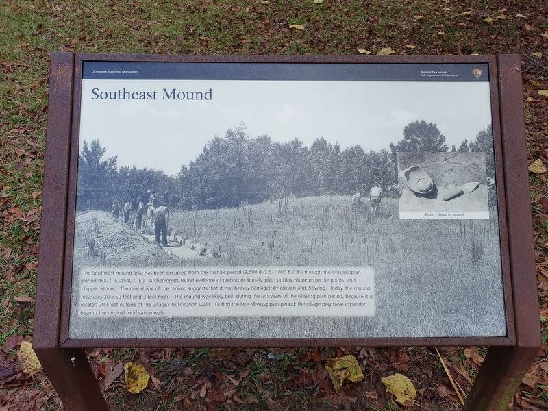
Southeast Mound
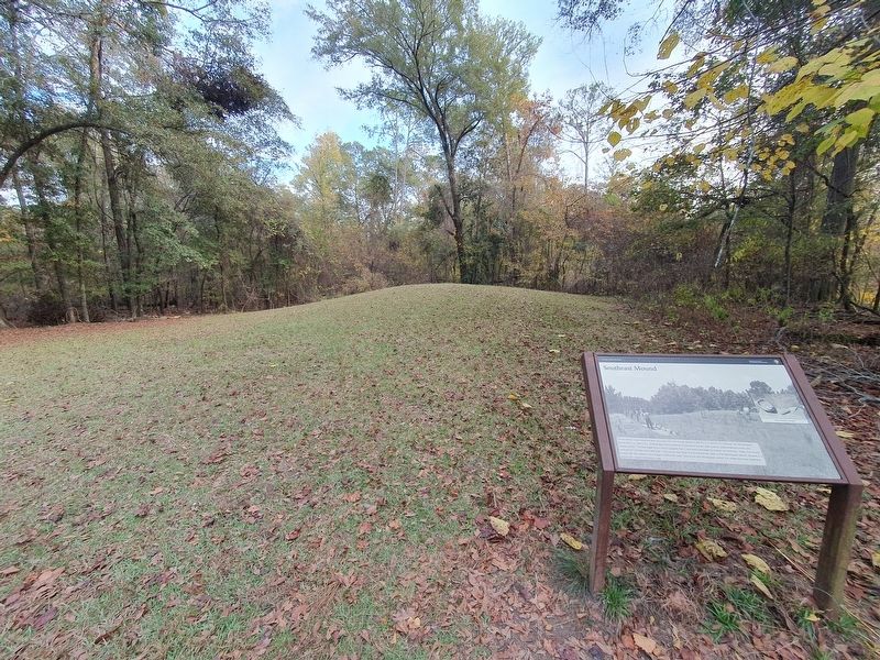
The Southeast mound area has been occupied from the Archaic period (9,600 B.C.E. - 1,000 B.C.E.) through the Mississippian period (900 C.E. - 1540 C.E.). Archeologists found evidence of prehistoric burials, plain pottery, stone projectile points, and chipped stones. The oval shape of the mound suggests that it was heavily damaged by erosion and plowing. Today, the mound measures 30 x 50 feet and 3 feet high. The mound was likely built during the last years of the Mississippian period, because it is located 200 feet outside of the village's fortification walls. During the late Mississippian period, the village may have expanded beyond the original fortification walls.
Caption Pottery found in mound
Erected by National Park Service.
Topics. This historical marker is listed in these topic lists: Anthropology & Archaeology • Native Americans. A significant historical year for this entry is 1540.
Location. 32° 50.348′ N, 83° 36.23′ W. Marker is in Macon, Georgia, in Bibb County. Marker can be reached from Park path north of Ocmulgee National Park Road, in the median. Touch for map. Marker is in this post office area: Macon GA 31217, United States of America. Touch for directions.
Other nearby markers. At least 8 other markers are within walking distance of this marker. Archaic Period 8000 B.C.E. - 1000 B.C.E. (within shouting distance of this marker); Ocmulgee's Earth Lodge - America's Oldest Ceremonial Lodge (about 800 feet away, measured in a direct line); The "Iron Horse" devastates the mounds (about 800 feet away); Cornfield Mound and Prehistoric Trenches (approx. 0.2 miles away); The Dunlap House (approx. 0.2 miles away); The Battle of Dunlap Hill-Stoneman's Raid (approx. 0.2 miles away); Trading with the British 1690-1715 (approx. 0.2 miles away); 17,000 Years of Continuous Human Habitation (approx. 0.2 miles away). Touch for a list and map of all markers in Macon.
Credits. This page was last revised on April 7, 2024. It was originally submitted on April 7, 2024, by J. Makali Bruton of Accra, Ghana. This page has been viewed 38 times since then. Photos: 1, 2. submitted on April 7, 2024, by J. Makali Bruton of Accra, Ghana.

