Near Milton in Sussex County, Delaware — The American Northeast (Mid-Atlantic)
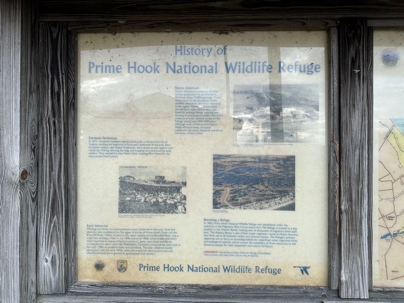
History of Prime Hook National Wildlife Refuge
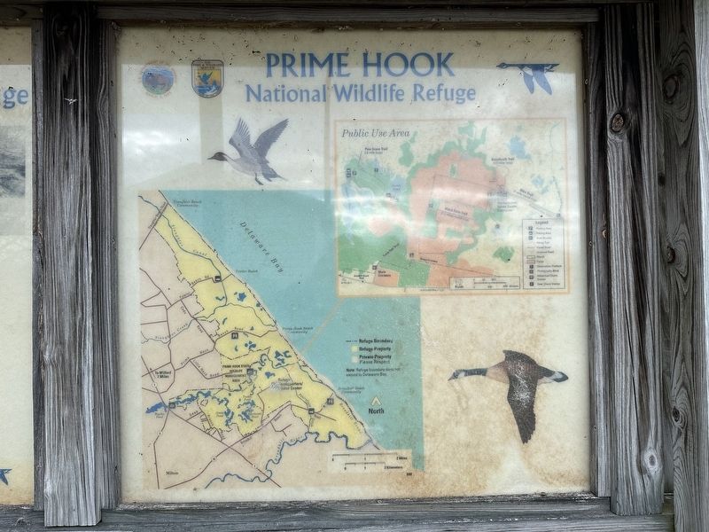
— Prime Hook National Wildlife Refuge —
Inscription.
Native Americans
Native Americans established the first human settlements on the Delmarva Peninsula about 12,000 years ago. They were drawn to the abundance of fish, shellfish, waterfowl, and other resources in the region. Native American tribes thrived here, with cultures and trade based on hunting, fishing, trapping, and farming. Archaeological studies have found evidence of small seasonal camps on the Refuge, dating back 2000-3000 years. Although most of Delmarva's original tribes still exist today, European settlement disrupted, displaced, and drove out many of the tribes.
European Settlement
In 1671, Governor Lovelace signed a land grant to Richard Perrott of Virginia, marking the beginning of European settlement of the area. New European settlers, like Native Americans, were drawn to the region's rich resources. Fishing, farming, hunting, and trapping were practiced by early settlers. They named the area Priume Hoek, meaning Plum Point, for the many purple beach plums.
Early Industries
Whaling and timber harvesting became major industries in this area. Grist and sawmills were established on the upper branches of Prime Hook Creek and the Broadkill River. Milton, located at the upper reaches of the Broadkill River, was a major ship building center in the 1800s and early 1900s. Local creeks and rivers were important in transporting farm products, game, waterfowl, and fish to marketplaces in major cities like Philadelphia. Canneries and granaries were built in the early 1900s to preserve these local products. The area remained mostly agricultural until the early 1970s, when the area's rich natural resources and beautiful beaches led to growth in development and tourism.
Becoming a Refuge
In 1963, Prime Hook National Wildlife Refuge was established under the authority of the Migratory Bird Conservation Act. The Refuge is located in a key position in the Atlantic flyway, hosting tens of thousands of migratory birds each year. The Atlantic flyway is one of four major migration routes in North America that birds use to fly between winter and summer homes. The Refuge's primary objectives are to focus on providing habitat for waterfowl, other migratory birds, and endangered species; and to ensure the availability of these resources to the American people for their enjoyment now and in the future.
Remember: Removing artifacts from the refuge is prohibited. Take pictures and memories. Leave only footprints.
Erected by Fish and Wildlife Service, U.S. Department of the Interior.
Topics. This historical marker is listed in these topic lists: Industry & Commerce
• Native Americans • Parks & Recreational Areas • Settlements & Settlers. A significant historical year for this entry is 1671.
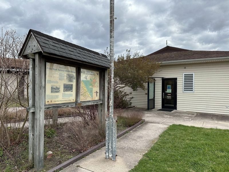
Location. 38° 49.809′ N, 75° 14.909′ W. Marker is near Milton, Delaware, in Sussex County. Marker is on Turkle Pond Road just west of Boardwalk Trail, on the right when traveling east. Touch for map. Marker is at or near this postal address: 11970 Turkle Pond Rd, Milton DE 19968, United States of America. Touch for directions.
Other nearby markers. At least 8 other markers are within 3 miles of this marker, measured as the crow flies. Delaware Bay Initiative (within shouting distance of this marker); The Morris Cemetery (about 600 feet away, measured in a direct line); Wood Ducks (about 800 feet away); Songbirds (approx. half a mile away); The Atlantic Horseshoe Crab (approx. 1.7 miles away); a different marker also named The Atlantic Horseshoe Crab (approx. 2 miles away); Zion United Methodist Church (approx. 2˝ miles away); Cedar Creek Hundred (approx. 2.6 miles away). Touch for a list and map of all markers in Milton.
Credits. This page was last revised on April 7, 2024. It was originally submitted on April 7, 2024, by Pete Skillman of Townsend, Delaware. This page has been viewed 48 times since then. Last updated on April 7, 2024, by Pete Skillman of Townsend, Delaware. Photos: 1, 2, 3. submitted on April 7, 2024, by Pete Skillman of Townsend, Delaware. • Devry Becker Jones was the editor who published this page.


