Rotterdam-West , South Holland, Netherlands — Northwestern Europe
Bloemstraat
Photographed by Andrew Ruppenstein, March 21, 2024
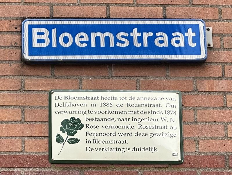
1. Bloemstraat Marker

De verklaring is duidelijk.
Until the annexation from Delfshaven in 1886, Bloemstraat (“Flower Street”) was called Rozenstraat (“Roses Street”). To avoid confusion with the already existing (since 1878) Rosestraat (“Rose Street”), which was named after engineer W. N. Rose, Rosestraat in the Feijenoord district was changed to Bloemstraat.
The explanation is clear.
Erected by the 32N.
Topics. This historical marker is listed in this topic list: Roads & Vehicles. A significant historical year for this entry is 1886.
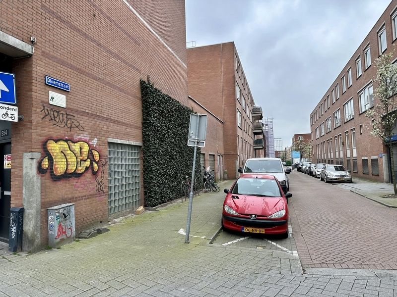
Location. 51° 55.347′ N, 4° 27.884′ E. Marker is in Rotterdam, Zuid-Holland (South Holland). It is in Rotterdam-West. It is at the intersection of Bloemstraat and Weena, on the left when traveling south on Bloemstraat. Touch for map. Marker is at or near this postal address: Weena 954, Rotterdam, Zuid-Holland 3014 NJ, Netherlands. Touch for directions.

Regionally,
this page online
Other nearby markers. At least 8 other markers are within walking distance of this marker: Palmdwarsstraat (about 210 meters away, measured in a direct line); Zijdewindeplein (about 240 meters away); Zijdewindestraat (approx. 0.3 kilometers away); Coolsestraat (approx. 0.3 kilometers away); Diergaardesingel (approx. 0.3 kilometers away); Drievriendenstraat / “Three Friends” Street (approx. 0.3 kilometers away); West-Kruiskade (approx. 0.3 kilometers away); Tiendstraat / “Tithe Street” (approx. 0.3 kilometers away). Touch for a list and map of all markers in Rotterdam.
Photographed by Andrew Ruppenstein, March 21, 2024
2. Bloemstraat Marker - wide view
Credits. This page was last revised on April 8, 2024. It was originally submitted on April 8, 2024, by Andrew Ruppenstein of Lamorinda, California. This page has been viewed 157 times since then and 24 times this year. Photos: 1, 2. submitted on April 8, 2024, by Andrew Ruppenstein of Lamorinda, California.
