Daufuskie Island in Beaufort County, South Carolina — The American South (South Atlantic)
Intracoastal Waterway
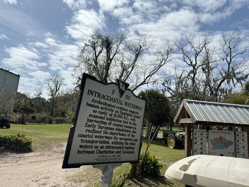
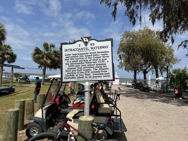
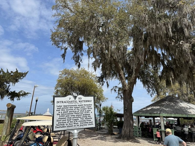
Archeological evidence suggests human activity on Daufuskie Island as early as 12,000 B.C., with seasonal habitation tied to the harvesting of coastal resources. Early European inhabitants also realized the importance of the coastal waterways for navigation and transportation, utilizing the tidal waters as an intracoastal highway between Charleston and Savannah.
Erected 2014 by Sponsored by S.C. Colonial Dames XVII Century Donald S. Russell Foundation, and U.S.O.. 2014. (Marker Number 7 53.)
Topics. This historical marker is listed in these topic lists: Anthropology & Archaeology • Industry & Commerce • Waterways & Vessels.
Location. 32° 7.973′ N, 80° 52.212′ W. Marker is on Daufuskie Island, South Carolina, in Beaufort County. Marker can be reached from the intersection of Cooper River Landing Road and Freeport Road. Marker is at Freeport Marina. Touch for map. Marker is at or near this postal address: 256 Cooper River Landing Rd, Daufuskie Island SC 29915, United States of America. Touch for directions.
Other nearby markers. At least 8 other markers are within 7 miles of this marker, measured as the crow flies. The Martinangeles (approx. 3 miles away); Palmetto Bluff (approx. 5.2 miles away); a different marker also named Palmetto Bluff (approx. 5.3 miles away); Charles E. Fraser (approx. 6.6 miles away); Hilton Head Island (approx. 6.6 miles away); Church of the Cross (approx. 6.8 miles away); Bluffton United Methodist Church (approx. 6.9 miles away); Cyrus Garvin/Cyrus Garvin House (approx. 6.9 miles away).
Credits. This page was last revised on April 10, 2024. It was originally submitted on April 9, 2024, by Mark St. Martin of Kalamazoo, Michigan. This page has been viewed 51 times since then. Photos: 1, 2, 3. submitted on April 9, 2024, by Mark St. Martin of Kalamazoo, Michigan. • Bernard Fisher was the editor who published this page.


