Near Ridgeland in Jasper County, South Carolina — The American South (South Atlantic)
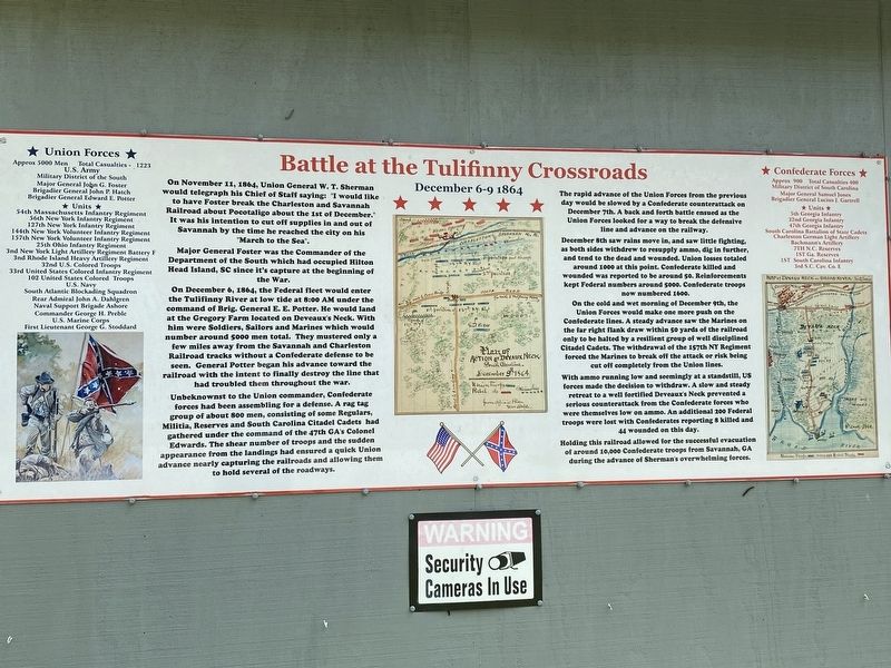
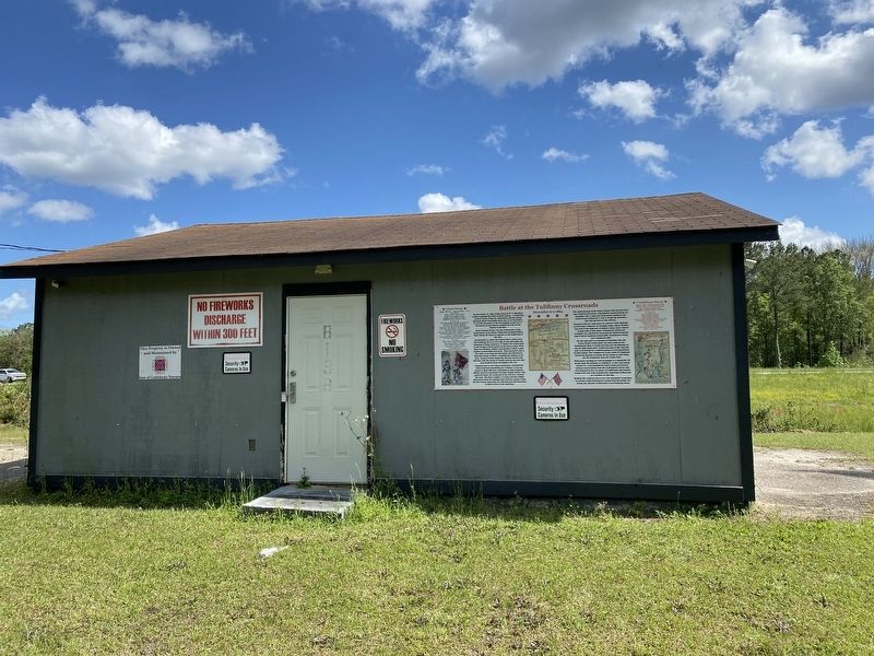
Battle at the Tulifinny Crossroads
December 6-9 1864
Major General Foster was the Commander of the Department of the South which had occupied Hilton Head Island, SC since it's capture at the beginning of the War.
On December 6, 1864, the Federal fleet would enter the Tulifinny River at low tide at 8:00 AM under the command of Brig. General E.E. Potter. He would land at the Gregory Farm located on Deveaux's Neck. With him were Soldiers, Sailors and Marines which would number around 5000 men total. They mustered only a few miles away from the Savannah and Charleston Railroad tracks without a Confederate defense to be seen. General Potter began his advance toward the railroad with the intent to finally destroy the line that had troubled them throughout the war.
Unbeknownst to the Union commander, Confederate forces had been assembling for a defense. A ragtag group of about 800 men, consisting of some Regulars, Militia, Reserves and South Carolina Citadel Cadets had gathered under the command of the 47th GA's Colonel Edwards. The shear number of troops and the sudden appearance from the landings had ensured a quick Union advance nearly capturing the railroads and allowing them to hold several of the roadways.
The rapid advance of the Union Forces from the previous day would be slowed by a Confederate counterattack on December 7th. A back and forth battle ensued as the Union Forces looked for a way to break the defensive line and advance on the railway.
December 8th saw rains move in, and saw little fighting, as both sides withdrew to resupply ammo, dig in further, and tend to the dead and wounded. Union losses totaled around 1000 at this point. Confederate killed and wounded was reported to be around 50. Reinforcements kept Federal numbers around 5000. Confederate troops now numbered 1600.
On the cold and wet morning of December 9th, the Union Forces would make one more push on the Confederate lines. A steady advance saw the Marines on the far right flank draw within 50 yards of the railroad only to be halted by a resilient group of well disciplined Citadel Cadets. The withdrawal of the 157th NY Regiment forced the Marines to break off the attack or risk being cut off completely from the Union lines.
With ammo running low and seemingly at a standstill, US forces made the decision to withdraw. A slow and steady retreat to a well fortified Deveaux's Neck prevented a serious counterattack from the Confederate forces who were themselves low on ammo. An additional 200 Federal troops were lost with Confederates reporting 8 killed and 44 wounded on this day.
Holding this railroad allowed for the successful evacuation of around 10,000 Confederate troops from Savannah, GA during the advance of Sherman's overwhelming forces.
Union Forces
Approx 5000 Men Total Casualties - 1223
U.S. Army
Military District of the South
Major General John G. Foster
Brigadier General John P. Hatch
Brigadier General Edward E. Potter
Units
54th Massachusetts Infantry Regiment
56th New York Infantry Regiment
127th New York Infantry Regiment
144th New York Volunteer Infantry Regiment
157th New York Volunteer Infantry Regiment
25th Ohio Infantry Regiment
3rd New York Light Artillery Regiment Battery F
3rd Rhode Island Heavy Artillery Regiment
32nd U.S. Colored Troops
33rd United States Colored Infantry Regiment
102 United States Colored Troops
US Navy
South Atlantic Blockading Squadron
Rear Admiral John A. Dahlgren
Naval Support Brigade Ashore
Commander George H. Preble
US Marine Corps
First Lieutenant George G. Stoddard
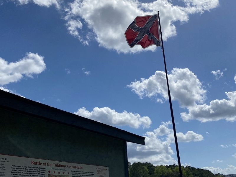
Confederate Forces
Approx 900 Total Casualties 400
Military District of South Carolina
Major General Samuel Jones
Brigadier General Lucius J. Gartrell
Units
5th Georgia Infantry
32nd Georgia Infantry 47th Georgia Infantry
South Carolina Battalion of State Cadets
Charleston German Light Artillery
Bachmann’s Artillery
7th N.C. Reserves
1st GA Reserves
1st South Carolina Infantry
3rd S.C. Cav. Co. E
Topics. This historical marker is listed in these topic lists: Railroads & Streetcars • War, US Civil • Waterways & Vessels. A significant historical date for this entry is December 6, 1864.
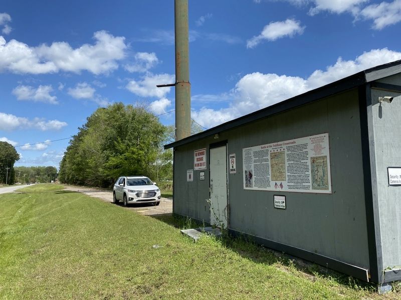
Location. 32° 35.885′ N, 80° 54.449′ W. Marker is near Ridgeland, South Carolina, in Jasper County. Marker is on Frontage Road, 0.3 miles north of Gregorie Neck Road, on the right when traveling north. Touch for map. Marker is at or near this postal address: 8198 Frontage Rd, Yemassee SC 29945, United States of America. Touch for directions.
Other nearby markers. At least 8 other markers are within 6 miles of this marker, measured as the crow flies. Battle of Coosawhatchie (approx. 1.3 miles away); Coosawhatchie (approx. 1.4 miles away); General Robert E. Lee (approx. 2.9 miles away); The Battle of Pocotaligo (approx. 3 miles away); Southern Live Oak Tree (approx. 3.1 miles away); " The Frampton Line " (approx. 3.1 miles away); The Frampton Lines / John Edward Frampton House (approx. 3.7 miles away); Gillisonville Baptist Church (approx. 5.4 miles away).
Credits. This page was last revised on April 10, 2024. It was originally submitted on April 10, 2024, by Mark St. Martin of Kalamazoo, Michigan. This page has been viewed 69 times since then. Photos: 1, 2, 3, 4. submitted on April 10, 2024, by Mark St. Martin of Kalamazoo, Michigan. • Bernard Fisher was the editor who published this page.


