Bond Head in Clarington in Durham Region, Ontario — Central Canada (North America)
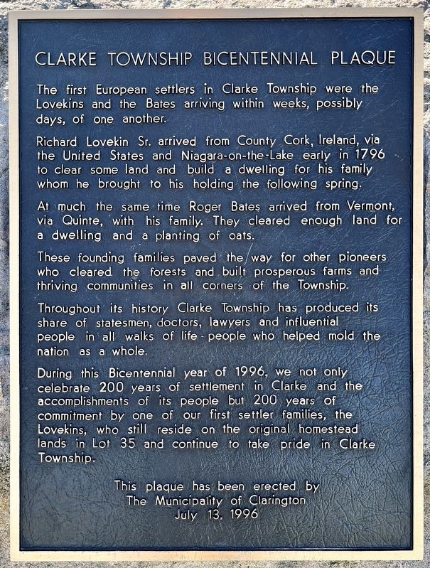
Clarke Township Bicentennial Plaque
Photographed by Tim Boyd, April 7, 2024
1. Clarke Township Bicentennial Plaque Marker
Richard Lovekin Sr. arrived from County Cork, Ireland, via the United States and Niagara-on-the-Lake early in 1796 to clear some land and build a dwelling for his family whom he brought to his holding the following spring.
At much the same time Roger Bates arrived from Vermont, via Quinte, with his family. They cleared enough land for a dwelling and a planting of oats.
These founding families paved the way for other pioneers who cleared the forests and built prosperous farms and thriving communities in all corners of the Township.
Throughout its history Clarke Township has produced its share of statesmen, doctors, lawyers and influential people in all walks of life - people who helped mold the nation as a whole.
During this Bicentennial year of 1996, we not only celebrate 200 years of settlement in Clarke and the accomplishments of its people but 200 years of commitment by one of our first settler families, the Lovekins, who still reside on the original homestead lands in
this page online
This plaque has been erected by The Municipality of Clarington July 13, 1996
Erected 1996 by Municipality of Clarington.
Topics. This historical marker is listed in these topic lists: Agriculture • Settlements & Settlers. A significant historical year for this entry is 1796.
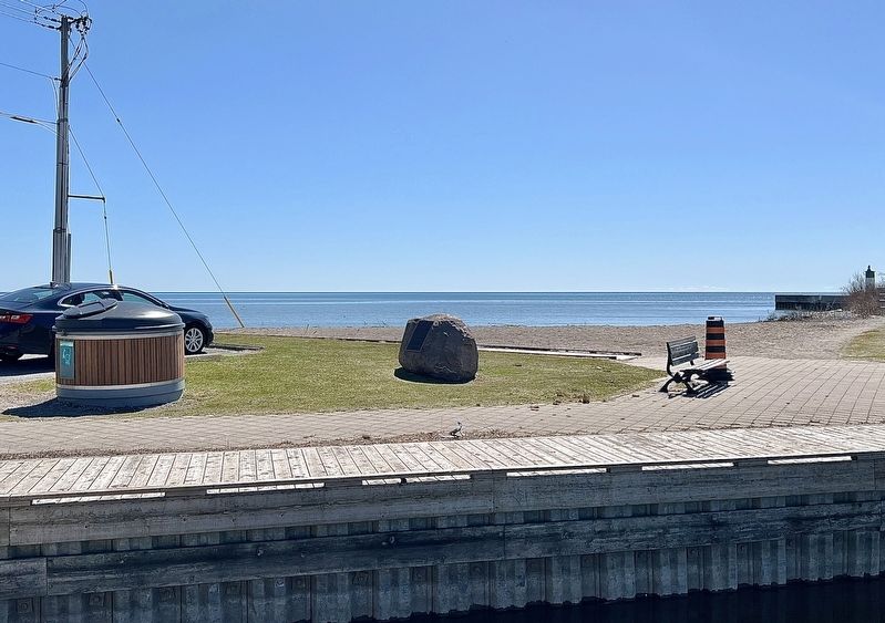
Location. 43° 53.807′ N, 78° 34.599′ W. Marker is in Clarington, Ontario, in Durham Region. It is in Bond Head. It is at the intersection of Mill Street South and Boulton Street, on the right when traveling south on Mill Street South. The marker is in Bond Head Parkette, accesible from the parking lot. Touch for map. Marker is at or near this postal address: 699 Mill St South, Clarington ON L1B 1L9, Canada. Touch for directions.

Regionally, this marker is in Greater Toronto, specifically on the Golden Horseshoe, in the York, Durham and Headwaters Area, and in the Toronto Metropolitan Area. It is also in Central Canada. Globally, it is in North America, on the Great Lakes, in the Western Hemisphere, in the Western World, and in the Anglosphere. Historically, it finds itself in what
Photographed by Tim Boyd, April 7, 2024
2. Clarke Township Bicentennial Plaque Marker
Other nearby markers. At least 8 other markers are within 10 kilometers of this marker, measured as the crow flies: Bishop Charles Henry Brent 1862-1929 (approx. 2.1 kilometers away); The Masseys at Newcastle / Les Massey à Newcastle (approx. 2.5 kilometers away); Joseph E. Atkinson 1865-1948 (approx. 2.5 kilometers away); Newcastle Cenotaph (approx. 2.5 kilometers away); Newcastle Fish Hatchery 1868 (approx. 3.1 kilometers away); King Street, Circa 1900 (approx. 9.1 kilometers away); St. Andrew's Presbyterian Church (approx. 9.2 kilometers away); Market Square, Town Hall & Horsey Block, 1880. (approx. 9.2 kilometers away). Touch for a list and map of all markers in Clarington.
Also see . . . Newcastle Has a Rich History. (Newcastle Village is the first village established in Clarke Township, near the Lovekin’s property) In 1796 Richard Lovekin came from Ireland to settle in Clarke Township near where the Village of Newcas- tle would one day stand. He came to an unbroken pristine wilderness. Large
circa 1800
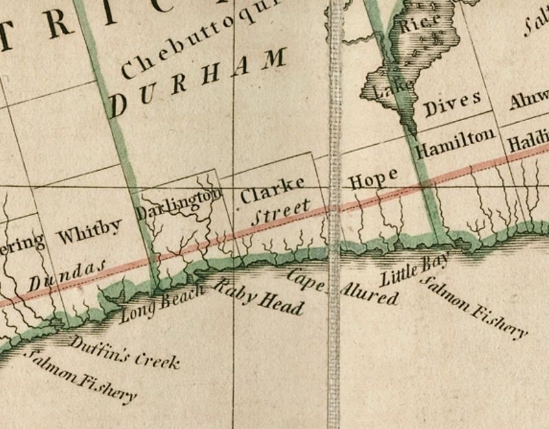
3. Clarke Township, shown on an 1800 map of Upper Canada
Credits. This page was last revised on May 7, 2024. It was originally submitted on April 10, 2024, by Tim Boyd of Hamilton, Ontario. This page has been viewed 460 times since then and 206 times this year. Photos: 1, 2, 3. submitted on April 10, 2024, by Tim Boyd of Hamilton, Ontario. • Andrew Ruppenstein was the editor who published this page.
