
Forest in Hardin County, Ohio — The American Midwest (Great Lakes)
Civil War-era Rodman Cannons
Photographed by Craig Doda, April 14, 2024
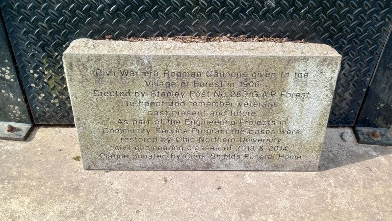
1. Civil War-era Rodman Cannons Marker
Civil War-era Rodman Cannons given to the Village of Forest in 1906.
Erected by Stanley Post No. 283 G.A.R. Forest to honor and remember veterans past, present and future.
As part of the Engineering Projects in Community Service Program, the bases were restored by Ohio Northern University civil engineering classes of 2013 & 2014. Plaque donated by Clark Shields Funeral Home.
Erected 2014 by Clark Shields Funeral Home.
Topics. This memorial is listed in this topic list: War, US Civil. A significant historical year for this entry is 1906.
Location. 40° 47.943′ N, 83° 30.405′ W. Memorial is in Forest, Ohio, in Hardin County. It is at the intersection of South Mary Street and East Zimmerman Street, on the right when traveling north on South Mary Street. The memorial stands on the grounds of the Gromley Park near the log cabin. Touch for map. Memorial is at or near this postal address: 412 S Mary St, Forest OH 45843, United States of America. Touch for directions.

Regionally, this memorial is in Ohio’s Till Plains. It is also in the American Midwest and in the Corn Belt. Globally, it is in North America,
this page online
Other nearby markers. At least 8 other markers are within 8 miles of this marker, measured as the crow flies: A different marker also named Civil War-era Rodman Cannons (about 300 feet away, measured in a direct line); Veterans Memorial (about 300 feet away); Historic Freight House (approx. 0.3 miles away); Forest Veterans Memorial (approx. 0.4 miles away); To Remember Veterans Of All Wars (approx. 7 miles away); Former Site of Mt. Blanchard Schools (approx. 7.2 miles away); Dunkirk Field of Honors (approx. 7.2 miles away); a different marker also named To Remember Veterans Of All Wars (approx. 7.2 miles away). Touch for a list and map of all markers in Forest.
Photographed by Craig Doda, April 14, 2024
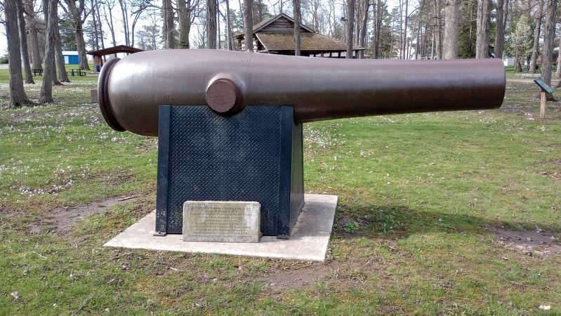
2. Civil War-era Rodman Cannons Marker
Photographed by Craig Doda, April 14, 2024
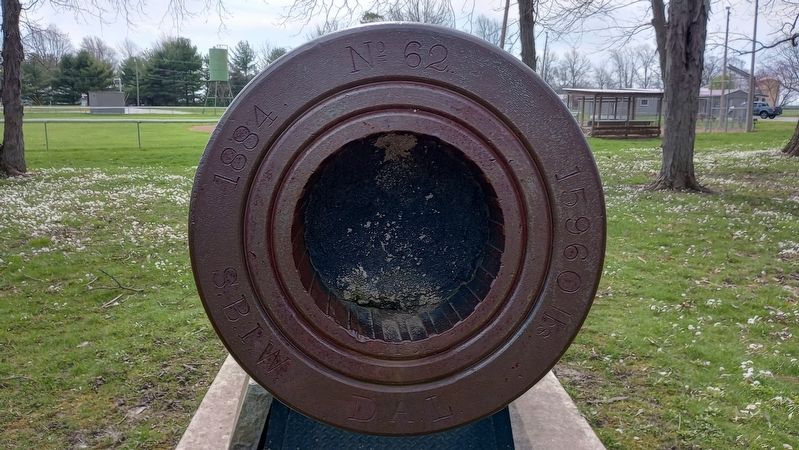
3. Cannon No. 62
Photographed by Craig Doda, April 14, 2024
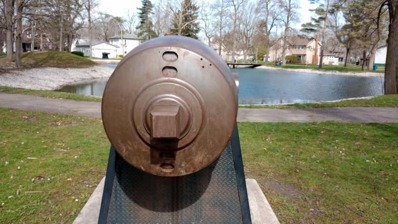
4. Civil War-era Rodman Cannons Marker
Credits. This page was last revised on April 16, 2024. It was originally submitted on April 16, 2024, by Craig Doda of Napoleon, Ohio. This page has been viewed 185 times since then and 22 times this year. Photos: 1, 2, 3, 4. submitted on April 16, 2024, by Craig Doda of Napoleon, Ohio. • Devry Becker Jones was the editor who published this page.
