Montpelier in Hanover County, Virginia — The American South (Mid-Atlantic)
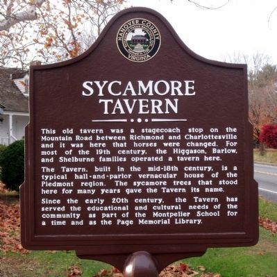
Sycamore Tavern
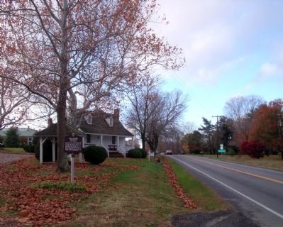
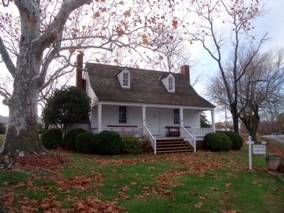
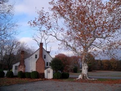
The Tavern, built in the mid-18th century, is a typical hall-and-parlor vernacular house of the Piedmont region. The sycamore trees that stood here for many years gave the Tavern its name.
Since the early 20th century, the Tavern has served the educational and cultural needs of the community as part of the Montpelier School for a time and as the Page Memorial Library.
Erected by Hanover County.
Topics. This historical marker is listed in these topic lists: Notable Buildings • Roads & Vehicles.
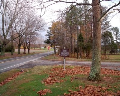
Location. 37° 49.364′ N, 77° 41.22′ W. Marker is in Montpelier, Virginia, in Hanover County. Marker is at the intersection of Mountain Road (U.S. 33) and Sycamore Tavern Lane, on the left when traveling west on Mountain Road. Touch for map. Marker is in this post office area: Montpelier VA 23192, United States of America. Touch for directions.
Other nearby markers. At least 8 other markers are within 9 miles of this marker, measured as the crow flies. Cedar Creek Quaker Meeting House (approx. 3.2 miles away); Reuben Ford and Hopeful Baptist Church (approx. 4.4 miles away); Scotchtown (approx. 4.9 miles away); a different marker also named Scotchtown (approx. 5.7 miles away); John Preston Clarke (approx. 7.9 miles away); Beaver Dam School (approx. 8.1 miles away); The Depot at Beaver Dam (approx. 8.4 miles away); Fork Church (approx. 8.8 miles away). Touch for a list and map of all markers in Montpelier.
Also see . . . Sycamore Tavern (pdf file). National Register of Historic Places (Submitted on November 14, 2009, by Bernard Fisher of Richmond, Virginia.)
Credits. This page was last revised on June 16, 2016. It was originally submitted on November 14, 2009, by Bernard Fisher of Richmond, Virginia. This page has been viewed 1,406 times since then and 100 times this year. Photos: 1, 2, 3, 4, 5, 6. submitted on November 14, 2009, by Bernard Fisher of Richmond, Virginia.
