Patterson in Putnam County, New York — The American Northeast (Mid-Atlantic)
Putnam County
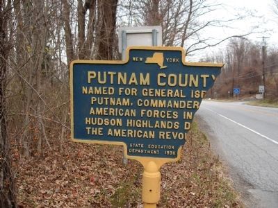
Photographed by Michael Herrick, November 10, 2009
1. Putnam County Marker
Named for General Israel Putnam, commander of American forces in the Hudson Highlands during the American Revolution.
Erected 1936 by New York State Education Department.
Topics. This historical marker is listed in these topic lists: Colonial Era • Settlements & Settlers.
Location. 41° 31.506′ N, 73° 35.288′ W. Marker is in Patterson, New York, in Putnam County. It is on New York State Route 22 half a mile north of Route 311, on the left when traveling north. Touch for map. Marker is in this post office area: Patterson NY 12563, United States of America. Touch for directions.

Regionally, this marker is in Upstate New York, specifically in the Hudson Valley, and in the New York City Metropolitan Area. It is also in the American Northeast, in the Mid-Atlantic, and on the Eastern Seaboard. Globally, it is in the North Atlantic Region, North America, the Western Hemisphere, the Western World, and the Anglosphere. Historically, it finds itself in what was once New Netherland and also one of the original Thirteen Colonies.
Other nearby markers. At
this page online
Another marker is no longer nearby. Dutchess County (was within shouting distance of this marker but has been confirmed missing).
Also see . . . Israel Putnam. Wikipedia entry (Submitted on June 19, 2025, by Larry Gertner of New York, New York.)
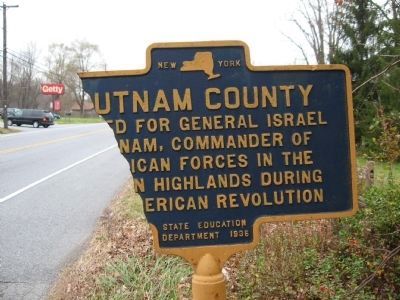
Photographed by Michael Herrick, November 10, 2009
2. Putnam County Marker
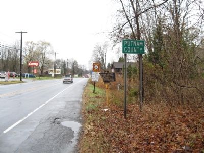
Photographed by Michael Herrick, November 14, 2009
3. Putnam County Marker
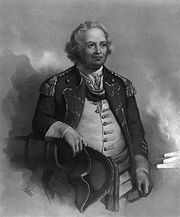
Photographed by Wikipedia
4. Major General Israel Putnam
Credits. This page was last revised on June 19, 2025. It was originally submitted on November 14, 2009, by Michael Herrick of Southbury, Connecticut. This page has been viewed 864 times since then and 24 times this year. Photos: 1, 2, 3. submitted on November 14, 2009, by Michael Herrick of Southbury, Connecticut. 4. submitted on November 17, 2009. • Syd Whittle was the editor who published this page.
Editor’s want-list for this marker. Photo of repaired marker • Can you help?
