
Near Greensburg in Green County, Kentucky — The American South (East South Central)
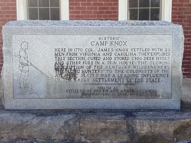
Historic Camp Knox
Photographed by Darren Jefferson Clay, April 7, 2024
1. Historic Camp Knox Marker
Second marker:
The Name of the Lone Hunters
Col. James Knox
Casper Mansgo
Henry Knox
Richard Skaggs
Henry Skaggs
Isaac Bledsoe
Abraham Bledsoe
James Graham
Joseph Drake
John Montgomery
William Allen
William Lynch
David Lynch
Chris Stoph
Russell Hughes
Donated by McKinley Monument Co., Campbellsville, KY
Erected 1942 by Citizens of Green and Adair Counties.
Topics. This historical marker is listed in these topic lists: Colonial Era • Settlements & Settlers. A significant historical year for this entry is 1770.
Location. 37° 10.22′ N, 85° 22.929′ W. Marker is near Greensburg, Kentucky, in Green County. It is at the intersection of Skinhouse Branch Road (State Road 2188) and Long Hunters Camp Road (State Road 767), on the right when traveling south on Skinhouse
this page online

Regionally, this marker is in Kentucky’s Pennyroyal Region. It is also in the American South and specifically in the Upper South. Globally, it is in North America, the Western Hemisphere, the Western World, and the Anglosphere. Historically, it finds itself in what was once the territory of the Mississippian Culture and also the Antebellum South.
Other nearby markers. At least 8 other markers are within 5 miles of this marker, measured as the crow flies: Jane Todd Crawford (approx. 1.3 miles away); A Night in Cane Valley (approx. 3½ miles away); Independence Day - 1863 (approx. 4.6 miles away); Michigan at Tebbs Bend (approx. 4.6 miles away); "Nobly Did They Die" (approx. 4.6 miles away); Confederate Artillery Position (approx. 4.6 miles away); Morgan's Demand for Surrender (approx. 4.9 miles away); "No Day to Surrender" (approx. 4.9 miles away).

Photographed by Darren Jefferson Clay, April 7, 2024
2. Historic Camp Knox Marker
Photographed by Darren Jefferson Clay, April 7, 2024
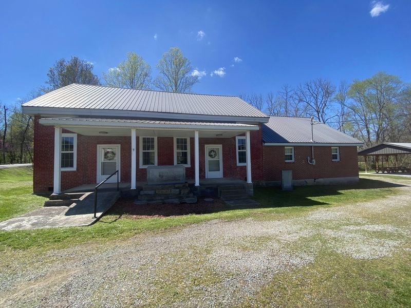
3. Historic Camp Knox Marker
Credits. This page was last revised on April 24, 2024. It was originally submitted on April 23, 2024, by Darren Jefferson Clay of Duluth, Georgia. This page has been viewed 766 times since then and 116 times this year. Photos: 1, 2, 3. submitted on April 24, 2024, by Darren Jefferson Clay of Duluth, Georgia. • James Hulse was the editor who published this page.
