Smithland in Livingston County, Kentucky — The American South (East South Central)
Confluence of the Cumberland and Ohio Rivers
— Kentucky Ohio River Civil War Heritage Trail —
Inscription.
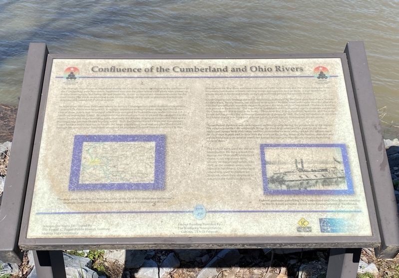
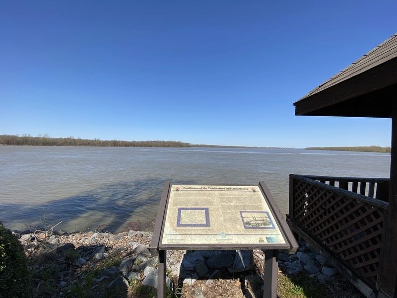
The strategic importance of Smithland during the Civil War lies in its location at the confluence of the Cumberland and Ohio rivers. Smithland was also the place where river pilots were picked up to take boats upriver to Clarksville and Nashville. It was an important commercial center for the river trade. The rivers were critical to the Union strategy in the west to penetrate Confederate defenses and reestablish Federal control.
In September 1861 once Polk's movement to occupy Columbus had ended Kentucky's neutrality, General U.S. Grant moved quickly to occupy important strategic points along the Ohio river. One of these points was Smithland which was occupied by Federal troops under General C.F. Smith on September 7, 1861. In addition to the fortifications built to protect the confluence of the rivers, Smithland was a recruiting post, especially for African American troops after 1864, and a training camp for new troops heading south. Both the Quartermaster Corps and Commissary Corps had extensive facilities to handle the large quantities of food and supplies that passed through the community. Smithland remained an important Federal base throughout the War.
Throughout the War there was heavy steamboat traffic in the town and the wharf along the river frequently had dozens of boats carrying troops and supplies tied up there. Large numbers of troops stayed in Smithland briefly as they were moved around the western theatre.
Union General Lew Wallace arrived in Smithland on January 25, 1862 and described it as a "beautiful little place, mostly Secesh but inclined to be quiet." Wallace went on to write Ben Hur after the War and unconfirmed accounts suggest he started the book while at Smithland. Wallace's observation proved to be accurate. The majority of Smithland and Livingston County residents supported the Confederacy and served in its Army. There were few, if any, incidents, however, and the occupation did not involve the deliberate destruction of property. Still, the long occupation of the town by Federal troops was hard and at times harsh. A local history summarizes the situation:
"Nevertheless, the town and its occupants suffered greatly during the occupation of the troops. The officers permitted the soldiers to forage for food in gardens and for feed for the horses. Mules and horses were also taken without permission as were slaves which the officers used for their own benefit to help with the work at the fort. Some of the houses, churches and public buildings were used to stable the horses belonging to the officers completely ruining some of them."
The Federal navy used the site as headquarters for the gunboat division on the Ohio and Cumberland
rivers. Coal was stored here, usually on barges and sailors who died on the western rivers were buried in Smithland. Cumberland island was used as a pasture for livestock when their shipment to troops in the field was delayed.
(captions)
(left) The map from The official Military Atlas of the Civil War illustrates Smithland's strategic location at the confluence of the Ohio and Cumberland Rivers.
(right) Federal gunboats patrolling the Cumberland and Ohio Rivers (similar to the St. Louis pictured above) were headquartered at Smithland.
Erected by The Kentucky Transportation Cabinet. (Marker Number 19.)
Topics. This historical marker is listed in these topic lists: War, US Civil • Waterways & Vessels.
Location. 37° 8.454′ N, 88° 24.472′ W. Marker is in Smithland, Kentucky, in Livingston County. Marker is at the intersection of North Court Street and Riverfront Drive, on the left when traveling north on North Court Street. Touch for map. Marker is at or near this postal address: 136 N Court St, Smithland KY 42081, United States of America. Touch for directions.
Other nearby markers. At least 8 other markers are within 3 miles of this marker, measured as the crow flies. Federal Commissary Building (about 500 feet away, measured in a direct line); Methodist Church (approx. 0.2 miles away); Dallam-Bush House (approx. 0.2 miles away); Ned Buntline / Gower House (approx. 0.2 miles away); County Named, 1798 (approx. ¼ mile away); A Civil War Base (approx. ¼ mile away); Livingston County Courthouse (approx. ¼ mile away); Jefferson’s Sister (approx. 3 miles away). Touch for a list and map of all markers in Smithland.
Credits. This page was last revised on April 24, 2024. It was originally submitted on April 23, 2024, by Darren Jefferson Clay of Duluth, Georgia. This page has been viewed 34 times since then. Photos: 1, 2. submitted on April 24, 2024, by Darren Jefferson Clay of Duluth, Georgia. • Bernard Fisher was the editor who published this page.

