
Panama City in Bay County, Florida — The American South (South Atlantic)
Hillside Cemetery
1949
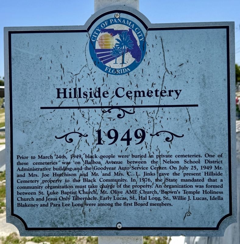
Photographed by Brandon D Cross
1. Hillside Cemetery Marker
Topics. This historical marker is listed in these topic lists: African Americans • Cemeteries & Burial Sites. A significant historical date for this entry is March 24, 1949.
Location. 30° 11.309′ N, 85° 40.997′ W. Marker is in Panama City, Florida, in Bay County. It can be reached from the intersection of Lisenby Avenue and West 23rd Street, on the left when traveling south. Touch for map. Marker is at or near this postal address:
this page online

Regionally, this marker is on the Florida Panhandle. It is also in the American South, specifically in the Deep South, and on the Gulf Coast. Globally, it is in the North Atlantic Region, North America, a Gulf of Mexico state, the Western Hemisphere, the Western World, and the Anglosphere. Historically, it finds itself in what was once New Spain, the territory of the Mississippian Culture, one of the Confederate States of America, and the Antebellum South.
Other nearby markers. At least 8 other markers are within 2 miles of this marker, measured as the crow flies: Covington Cemetery (approx. 0.8 miles away); Historic St. Andrews Church (approx. 1½ miles away); The Original Bell (approx. 1½ miles away); Dunton’s Tastee Freez (approx. 1½ miles away); Oakland Cemetery (approx. 1½ miles away); Original St. Andrews Baptist Church (approx. 1.6 miles away); The Thomas Freeman Home (approx. 1.6 miles away); Site of the Oaks Hotel which was razed in the 1930s (approx. 1.6 miles away). Touch for a list and map of all markers in Panama City.
Other
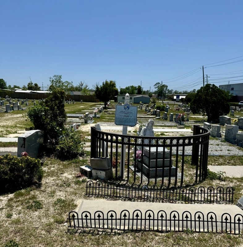
Photographed by Brandon D Cross
2. Hillside Cemetery Marker
Also see . . .
1. A History of Bay County. (Submitted on April 25, 2024, by Brandon D Cross of Flagler Beach, Florida.)
2. Historical Society of Bay County. (Submitted on April 25, 2024, by Brandon D Cross of Flagler Beach, Florida.)

Photographed by Brandon D Cross
3. Hillside Cemetery sign
Credits. This page was last revised on March 24, 2025. It was originally submitted on April 25, 2024, by Brandon D Cross of Flagler Beach, Florida. This page has been viewed 915 times since then and 148 times this year. Photos: 1, 2, 3. submitted on April 25, 2024, by Brandon D Cross of Flagler Beach, Florida. • Bernard Fisher was the editor who published this page.
