Stonycreek Township near Stoystown in Somerset County, Pennsylvania — The American Northeast (Mid-Atlantic)
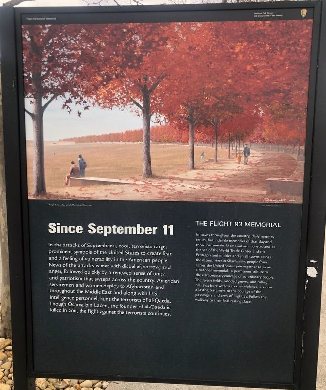
Since September 11
Flight 93 National Memorial
| — | National Park Service, U.S. Department of the Interior | — |
Photographed by Sean Flynn, April 24, 2024
1. Since September 11 Marker
The Flight 93 Memorial
In towns throughout the country, daily routines return, but indelible memories of that day and those lost remain. Memorials are constructed at the site of the World Trade Center and the Pentagon and in cities and small towns across the nation. Here in Shanksville, people from across the United States join together to create a national memorial-a permanent tribute to the extraordinary courage of 40 ordinary people. The serene fields, wooded groves, and rolling hills that bore witness to such violence, are now a lasting
this page online
Erected by National Park Service.
Topics. This historical marker is listed in these topic lists: 9/11 Attacks • Parks & Recreational Areas • War, 2nd Iraq • War, Afghanistan. A significant historical date for this entry is September 11, 2001.
Location. 40° 3.039′ N, 78° 54.096′ W. Marker is near Stoystown, Pennsylvania, in Somerset County. It is in Stonycreek Township. It can be reached from Ring Road. The marker is in Memorial Plaza at the Flight 93 National Memorial. Touch for map. Marker is in this post office area: Stoystown PA 15563, United States of America. Touch for directions.

Regionally, this marker is in the Laurel Highlands. It is also in the American Northeast, in the Mid-Atlantic, in Appalachia, and specifically in Northern Appalachia. Globally, it is in North America, the Western Hemisphere, the Western World, and the Anglosphere. Historically, it finds itself in what was once the Haudenosaunee (Iroquois) Confederacy and also one of the original Thirteen Colonies.
Other nearby markers. At

Photographed by Sean Flynn, April 25, 2024
2. Since September 11 Marker
The marker is in the center of this photo, near the tree.
Other markers no longer nearby. The Investigation (was here, next to this marker but has been replaced with another marker now near it); “We're going to do something.” (was a few steps from this marker but has been replaced with another marker now near it); America Attacked! (was a few steps from this marker but has been replaced with another marker now near it); Mayday! (was a few steps from this marker but has been replaced with another marker now near it).
Photographed by Sean Flynn, April 24, 2024
3. Flight 93 National Memorial
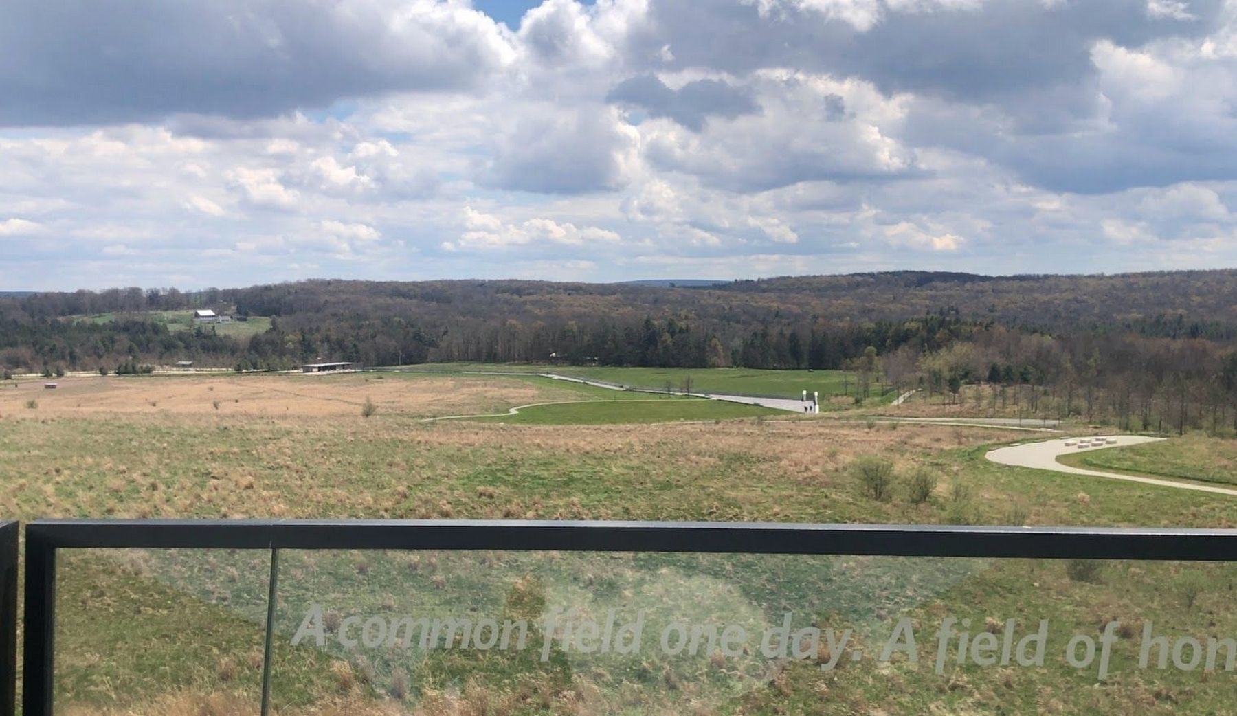
This photo, taken from the Flight Path Overlook next to the visitors center, offers a panoramic view of the crash site. A boulder in the green field behind the memorial marks the spot where Flight 93 crashed into the ground on September 11, 2001, about ⅓ of a mile from where this photo was taken. To the left of the field is a small structure that is part of the Memorial Plaza; historical markers describing Flight 93 and its aftermath is to the left of that structure.
Credits. This page was last revised on May 3, 2024. It was originally submitted on April 25, 2024, by Sean P. Flynn of Oak Park, Illinois. This page has been viewed 287 times since then and 40 times this year. Photos: 1, 2. submitted on April 25, 2024, by Sean P. Flynn of Oak Park, Illinois. 3. submitted on May 3, 2024, by Sean P. Flynn of Oak Park, Illinois.
