Galveston in Galveston County, Texas — The American South (West South Central)
Galveston-Port Bolivar Ferry System
Photographed by Duane and Tracy Marsteller, April 13, 2024
1. Galveston-Port Bolivar Ferry System Marker
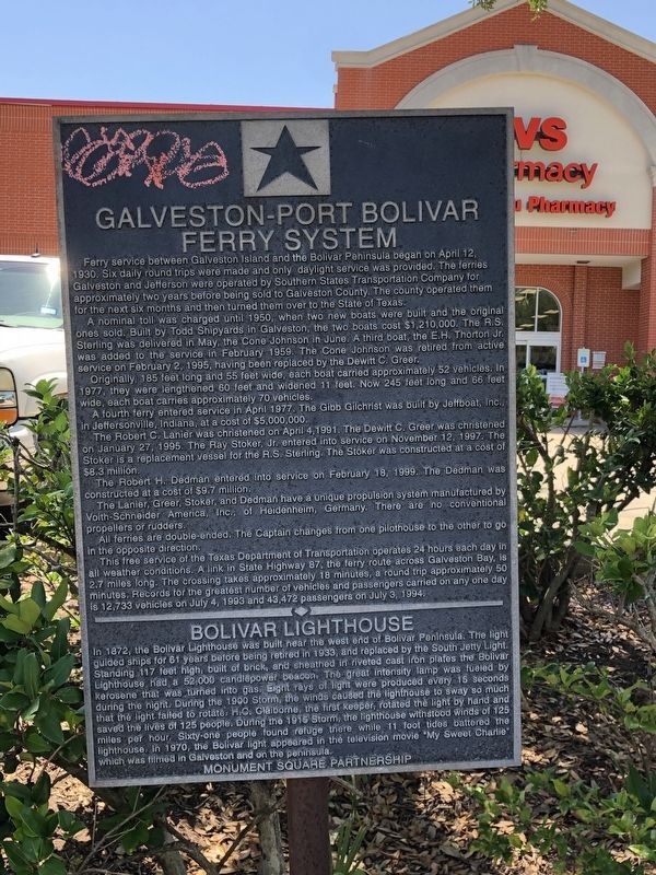
A nominal toll was charged until 1950, when two new boats were built and the original ones sold. Built by Todd Shipyards in Galveston, the two boats cost $1,210,000. The R.S. Sterling was delivered in May, the Cone Johnson in June. A third boat, the E.H. Thorton Jr. was added to the service in February 1959. The Cone Johnson was retired from active service on February 2, 1995, having been replaced by the Dewitt C. Greer.
Originally 185 feet long and 55 feet wide, each boat carried approximately 52 vehicles. In 1977, they were lengthened 60 feet and widened 11 feet. Now 245 feet long and 66 feet wide, each boat carries approximately 70 vehicles.
A fourth ferry entered service in April 1977. The Gibb Gilchrist
this page online
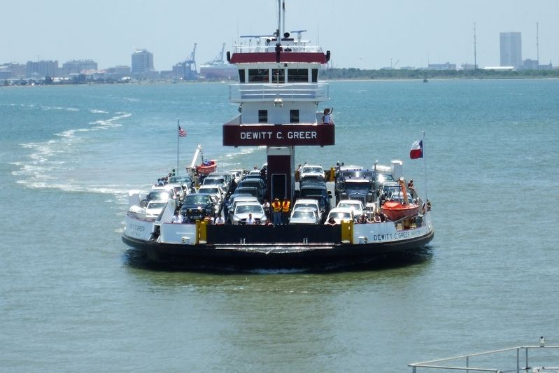
The Robert C. Lanier was christened on April 4, 1991. The Dewitt C. Greer was christened on January 27, 1995. The Ray Stoker, Jr. entered into service on November 12, 1997. The Stoker is a replacement vessel for the R.S. Sterling. The Stoker was constructed at a cost of $8.3 million.
The Robert H. Dedman entered into service on February 18, 1999. The Dedman was constructed at a cost of $9.7 million.
The Lanier, Greer, Stoker, and Dedman have a unique propulsion system manufactured by Voith-Schneider America, Inc., of Heidenheim, Germany. There are no conventional propellers or rudders.
All ferries are double-ended. The captain changes from one pilothouse to the other to go in the opposite direction.
This free service of the Texas Department of Transportation operates 24 hours each day in all weather conditions. A link in State Highway 87, the ferry route across Galveston Bay is 2.7 miles long. The crossing takes approximately 18 minutes, a round trip approximately 50 minutes. Records for the greatest number of vehicles and passengers
Photographed by Duane and Tracy Marsteller, April 13, 2024
2. Galveston-Port Bolivar Ferry System Marker
Erected by Monument Square Partnership.
Topics and series. This
Texas Department of Transportation (Public Domain)
3. The Dewitt C. Greer
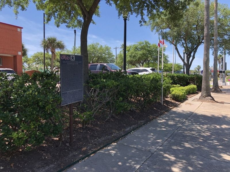
Location. 29° 17.966′ N, 94° 47.625′ W. Marker is in Galveston, Texas, in Galveston County. It is on Broadway Avenue J east of Rosenberg Street/25th Street, on the right when traveling east. Touch for map. Marker is at or near this postal address: 2425 Broadway Avenue J, Galveston TX 77550, United States of America. Touch for directions.

Regionally, this marker is in the Houston Metropolitan Area. It is also in the American South and on the Gulf Coast. Globally, it is in North America, a Gulf of Mexico state, the Western Hemisphere, the Western World, and the Anglosphere. Historically, it finds itself in what was once New Spain, the Republic of Texas, and one of the Confederate States of America.
Other nearby markers. At least 8 other markers are within walking distance of this marker: City of Galveston (a few steps from this marker); Texas First Bank (within shouting distance of this marker); Texas Heroes Monument
Texas Department of Transportation (Public Domain)
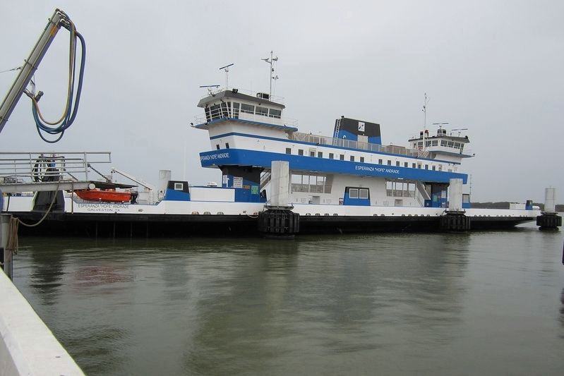
4. The Esperanza “Hope” Andrade
The system's newest ferry was built in 2023.
Other markers no longer nearby. Nicholas J. Clayton (was a few steps from this marker but has been confirmed missing); Open Gates (was within shouting distance of this marker but has been confirmed missing); Ashton Villa, 1859 (was about 400 feet away, measured in a direct line but has been confirmed missing).
Also see . . .
1. Galveston-Port Bolivar Ferry. Texas Department of Transportation website on the ferry system includes webcam links, photographs and vessel histories. (Submitted on April 25, 2024, by Duane and Tracy Marsteller of Murfreesboro, Tennessee.)
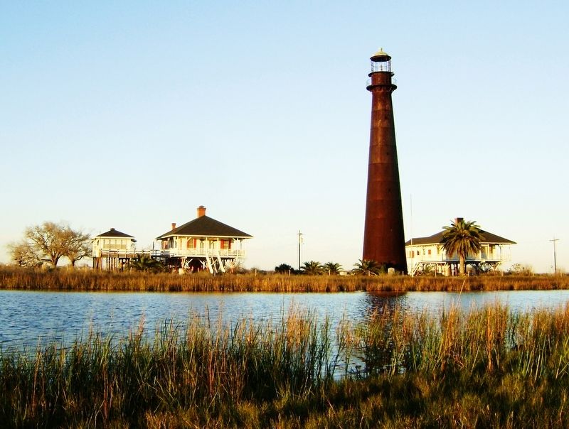
2. History of the Bolivar Point Lighthouse. The Bolivar Point Lighthouse is one of the few 19th-century lighthouses remaining on the Gulf Coast, and
Credits. This page was last revised on November 30, 2024. It was originally submitted on April 25, 2024, by Duane and Tracy Marsteller of Murfreesboro, Tennessee. This page has been viewed 818 times since then and 170 times this year. Photos: 1, 2, 3, 4, 5. submitted on April 25, 2024, by Duane and Tracy Marsteller of Murfreesboro, Tennessee.
