Underwood in Scott County, Indiana — The American Midwest (Great Lakes)
This Burial Site
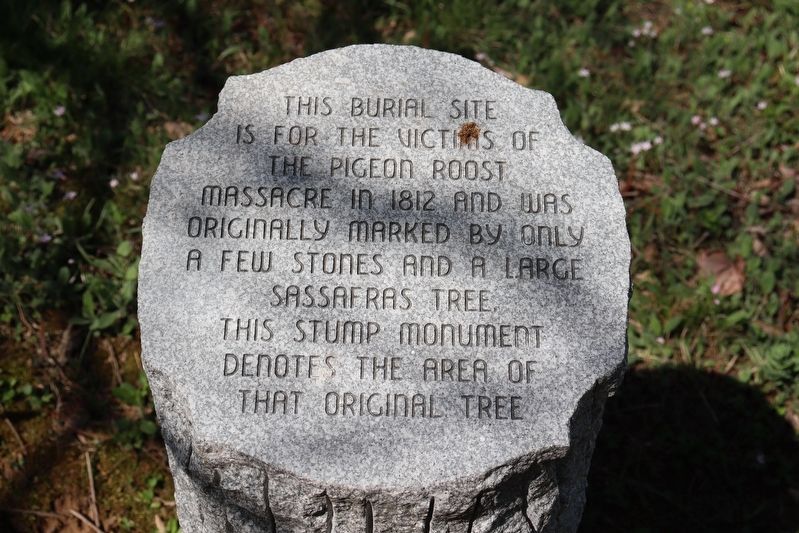
Photographed by Trevor L Whited, April 14, 2024
1. This Burial Site Marker
Topics. This historical marker is listed in these topic lists: Cemeteries & Burial Sites • Settlements & Settlers • War of 1812. A significant historical date for this entry is September 3, 1812.
Location. 38° 37.032′ N, 85° 46.417′ W. Marker is in Underwood, Indiana, in Scott County. It can be reached from Edrington Boulevard 0.2 miles north of U.S. 31, on the right when traveling north. This marker is a part of the Pigeon Roost State Historical Site. Touch for map. Marker is at or near this postal address: 75 Edrington Blvd, Underwood IN 47177, United States of America. Touch for directions.

Regionally, this marker is in Southern Indiana. It is also in the American Midwest and in the Corn Belt. Globally, it is in North America, the Western Hemisphere, the Western World, and the Anglosphere. Historically, it finds itself in what was once the territory of the Mississippian Culture and also the Northwest Territory.
this page online
Other nearby markers. At least 8 other markers are within 5 miles of this marker, measured as the crow flies: Massacre September 3, 1812 (a few steps from this marker); Pigeon Roost (within shouting distance of this marker); a different marker also named Pigeon Roost (approx. 0.2 miles away); Morgan's Great Raid (approx. 2.2 miles away); "Lightning" Ellsworth Strikes Again (approx. 2.2 miles away); Scott County Home (approx. 3.9 miles away); Clark State Forest (approx. 4.4 miles away); Scott Theater (approx. 4.7 miles away).
Another marker is no longer nearby. Morgan's Raid, July 1863 (was approx. 2.2 miles away but has been confirmed missing).
Related markers. Click here for a list of markers that are related to this marker.
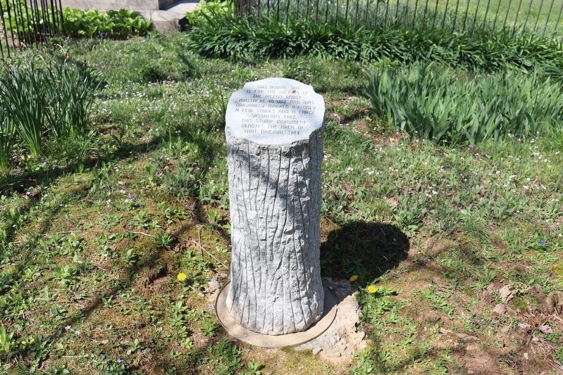
Photographed by Trevor L Whited, April 14, 2024
2. This Burial Site Marker
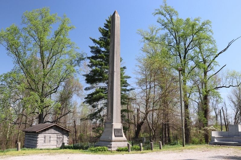
Photographed by Trevor L Whited, April 14, 2024
3. Pigeon Roost Memorial State Historic Site
"Memorial Stump" is to the right of the larger memorial behind the wrought iron fence.
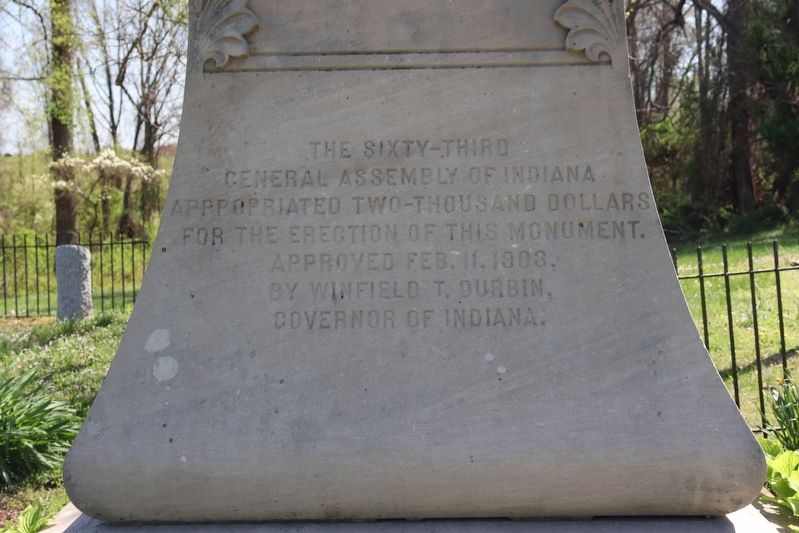
Photographed by Trevor L Whited, April 14, 2024
4. This Burial Site Marker
back of "Memorial Stump" can be seen left of the larger memorial
Credits. This page was last revised on April 28, 2024. It was originally submitted on April 26, 2024, by Trevor L Whited of Kokomo, Indiana. This page has been viewed 405 times since then and 44 times this year. Photos: 1, 2, 3, 4. submitted on April 26, 2024, by Trevor L Whited of Kokomo, Indiana. • Devry Becker Jones was the editor who published this page.
