Bethesda in Montgomery County, Maryland — The American Northeast (Mid-Atlantic)
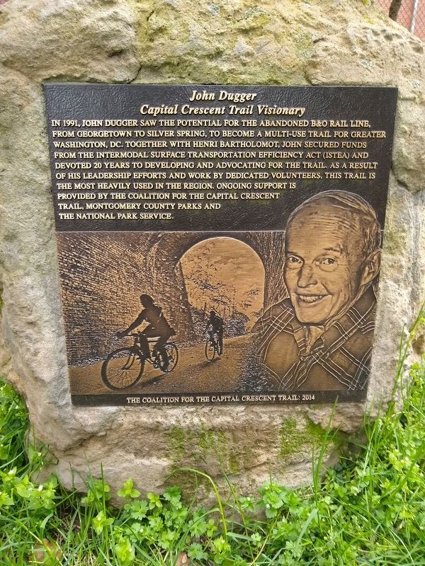
John Dugger
Capital Crescent Trail Visionary
Erected 2014 by The Coalition for the Capital Crescent Trail.
Topics. This historical marker is listed in these topic lists: Charity & Public Work • Parks & Recreational Areas • Railroads & Streetcars • Roads & Vehicles. A significant historical year for this entry is 1991.
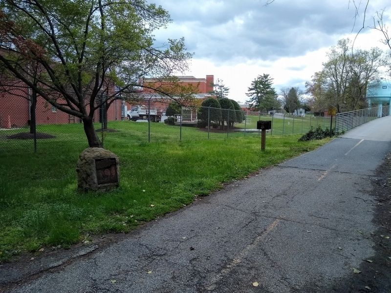
Location. 38° 56.405′ N, 77° 6.907′ W. Marker is in Bethesda, Maryland, in Montgomery County. Marker is on Capital Crescent Trail, 1.9 miles south of River Road (Route 190), on the left when traveling south. Touch for map. Marker is at or near this postal address: 4000 Bethesda Avenue, Bethesda MD 20816, United States of America. Touch for directions.
Other nearby markers. At least 8 other markers are within walking distance of this marker . The Georgetown Branch Railroad (a few steps from this marker); Original Federal Boundary Stone, District of Columbia, Northwest 4 (approx. 0.2 miles away); Chestnut Blight (approx. 0.2 miles away in District of Columbia); The American Chestnut (approx. 0.2 miles away in District of Columbia); Restoring the Chestnut (approx. 0.2 miles away in District of Columbia); The Dalecarlia Tunnel (approx. ¼ mile away); Inlet Locks (approx. 0.4 miles away); Lockhouse 6 (approx. 0.6 miles away). Touch for a list and map of all markers in Bethesda.
Credits. This page was last revised on April 27, 2024. It was originally submitted on April 26, 2024, by Laura Edwards of Bethesda, Maryland. This page has been viewed 37 times since then. Photos: 1, 2. submitted on April 26, 2024, by Laura Edwards of Bethesda, Maryland. • Bill Pfingsten was the editor who published this page.

