Beverly in Randolph County, West Virginia — The American South (Appalachia)
Beverly
Crossroads of Conflict
— The First Campaign —
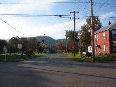
Situated at a crossroads on the Staunton-Parkersburg Turnpike, Beverly was a strategic location and proved to be a focal point during the Civil War. There were no large plantations here and political opinions were split, yet the majority of Beverly's citizens favored the South.
From the beginning of the Civil War, Beverly was a staging area for local militia and troops sent from eastern Virginia to serve the Confederacy.
Following Federal success at Rich Mountain, Gen. George McClellan led his troops into Beverly and secured this vital crossroads for the Union. Confederates raided Beverly several times during the war, but the Union retained control. McClellan sent many of his famous victory telegrams from here.
A nmuber of local families with Confederate connections fled south, as Beverly was occupied by Federal troops during most of the war. Troops dug trenches around Mt. Iser, overlooking the town. After the war, a cemetery for Confederate dead was created within these entrenchments.
A number of the buildings tied to Civil War events here still stand.
"The next day (following the Battle of Rich Mountain) about 11 a.m., the Federals advanced (into Beverly), followed by numerous regiments in handsome uniform with banners flying, keeping exact step to the music of the fine Regimental Bands, playing the beautiful March from the opera, 'Norma.' Many of them were well-drilled, crack regiments - many Germans, having had their military training abroad - some regulars... the several regiments went into camp in the vicinity of town."
-Thomas Jackson Arnold
Erected by Civil War Trails.
Topics and series. This historical marker is listed in this topic list: War, US Civil. In addition, it is included in the West Virginia Civil War Trails series list.
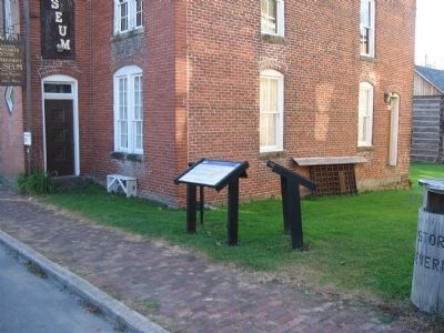
Location. 38° 50.459′ N, 79° 52.521′ W. Marker is in Beverly, West Virginia, in Randolph County. Marker is on Main Street (U.S. 219), on the right when traveling south. The marker is located next to the Randolph County Museum and Historical Society. Touch for map. Marker is in this post office area: Beverly WV 26253, United States of America. Touch for directions.
Other nearby markers. At least 8 other markers are within walking distance of this marker. A different marker also named Beverly (here, next to this marker); The First Campaign (here, next to this marker); Occupied Beverly (here, next to this marker); Blackman-Bosworth Store (here, next to this marker); a different marker also named Beverly (a few steps from this marker); Robert Foyles & Family (a few steps from this marker); Randolph Co Jail - 1813 (a few steps from this marker); Beverly Public Square (within shouting distance of this marker). Touch for a list and map of all markers in Beverly.
More about this marker. On the lower left of the marker is a sketch of Beverly drawn during the war. On the right is a map of the area indicating other Civil War related sites.
Also see . . .
1. Western Virginia campaign. Wikipedia entry (Submitted on July 7, 2022, by Larry Gertner of New York, New York.)
2. Mount Iser Cemetery. The cemetery and Federal earthworks are located just east of town. The site does not indicate if the location is accessible. (Submitted on November 15, 2009, by Craig Swain of Leesburg, Virginia.)
Credits. This page was last revised on February 2, 2024. It was originally submitted on November 15, 2009, by Craig Swain of Leesburg, Virginia. This page has been viewed 1,151 times since then and 42 times this year. Last updated on January 25, 2024, by Carl Gordon Moore Jr. of North East, Maryland. Photos: 1, 2, 3. submitted on November 15, 2009, by Craig Swain of Leesburg, Virginia. • J. Makali Bruton was the editor who published this page.


