
Bowie in Montague County, Texas — The American South (West South Central)
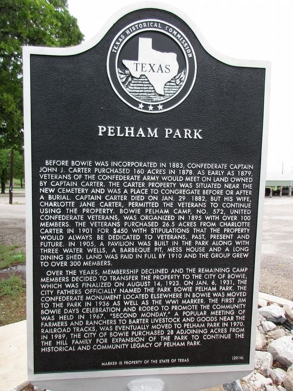
Pelham Park
Photographed by Jeff Leichsenring, April 28, 2024
1. Pelham Park Marker
Over the years, membership declined and the remaining camp members decided to transfer the property to the city of Bowie, which was finalized on August 14, 1923. On Jan. 6, 1931, the city fathers officially named the park Bowie
this page online
Erected 2016 by Texas Historical Commission. (Marker Number 18546.)
Topics. This historical marker is listed in this topic list: Parks & Recreational Areas. A significant historical date for this entry is August 14, 1923.
Location. 33° 33.087′ N, 97° 50.023′ W. Marker is in Bowie, Texas, in Montague County. It is on Pelham Street (Farm to Market Road 3043) east of East Wise Street (U.S. 81), on the right when traveling east. Touch for map. Marker is at or near this postal address: 413 Pelham Street, Bowie TX 76230, United States of America. Touch for directions.

Regionally, this marker is in the Prairies & Lakes
Photographed by Jeff Leichsenring, April 28, 2024
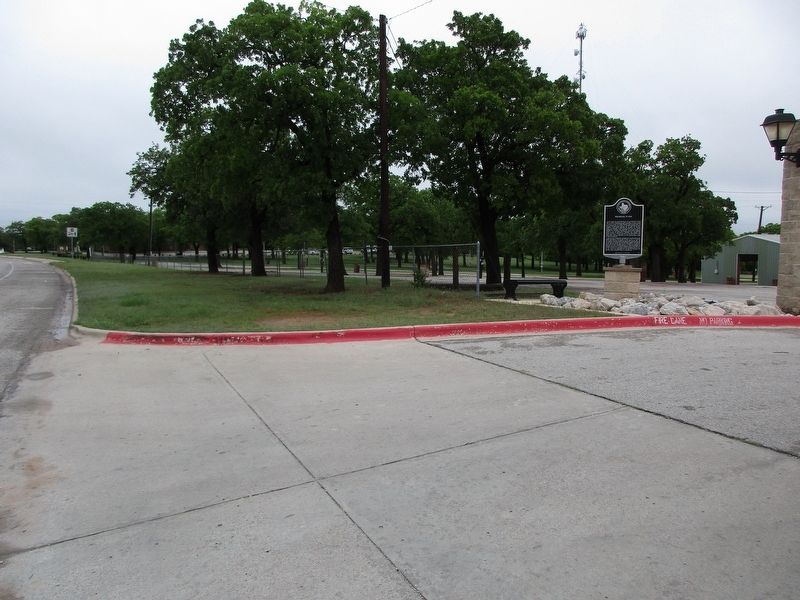
2. Pelham Park Marker
Other nearby markers. At least 8 other markers are within 2 miles of this marker, measured as the crow flies: Elmwood Cemetery (approx. 0.2 miles away); First Baptist Church of Bowie (approx. 0.9 miles away); M. Johnson Poultry Ranch (approx. 0.9 miles away); City of Bowie (approx. one mile away); St. Peter Lutheran Church (approx. one mile away); First National Bank of Bowie (approx. one mile away); Montague County (approx. 1.6 miles away); Home County of Governor James V. Allred (approx. 1.6 miles away). Touch for a list and map of all markers in Bowie.
Credits. This page was last revised on April 29, 2024. It was originally submitted on April 29, 2024, by Jeff Leichsenring of Garland, Texas. This page has been viewed 498 times since then and 59 times this year. Photos: 1, 2. submitted on April 29, 2024, by Jeff Leichsenring of Garland, Texas. • James Hulse was the editor who published this page.
