Adelanto in San Bernardino County, California — The American West (Pacific Coastal)
John Mgrdichian Park
Photographed by Craig Baker
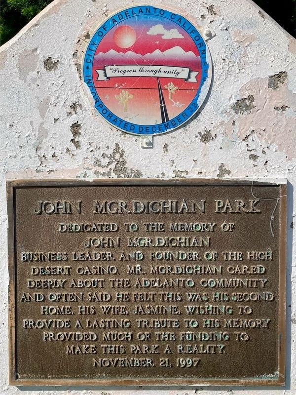
1. John Mgrdichian Park Marker
Dedicated to the memory of John Mgrdichian, business leader and founder of the High Desert Casino. Mr. Mgrdichian cared deeply about the Adelanto community and often said he felt this was his second home. His wife, Jasmine, wishing to provide a lasting tribute to his memory, provided much of the funding to make this park a reality.
Erected 1997 by City of Adelanto.
Topics. This historical marker is listed in this topic list: Parks & Recreational Areas.
Location. 34° 30.828′ N, 117° 25.034′ W. Marker is in Adelanto, California, in San Bernardino County. It is at the intersection of Seneca Road and Bellflower Street, on the right when traveling east on Seneca Road. Touch for map. Marker is at or near this postal address: 11251 Seneca Rd, Adelanto CA 92301, United States of America. Touch for directions.

Regionally, this marker is in Greater Los Angeles, in the Peninsular Ranges, and specifically in the Transverse Ranges. It is also in the American Southwest. Globally, it is in North America, on the Ring of Fire, on the Pacific Rim, in the Western
this page online
Other nearby markers. At least 8 other markers are within 8 miles of this marker, measured as the crow flies: F-4C Phantom II (approx. 5.3 miles away); George Air Force Base (approx. 5.6 miles away); Mojave River Crossing (approx. 6.1 miles away); Lane's Crossing (approx. 6.1 miles away); Miller’s Corner (approx. 6.4 miles away); Emma Jean's (approx. 6.8 miles away); Old Town Victorville Veterans Memorial (approx. 7 miles away); California Route 66 Museum, Victorville, California (approx. 7.2 miles away).
Photographed by Craig Baker, April 24, 2024
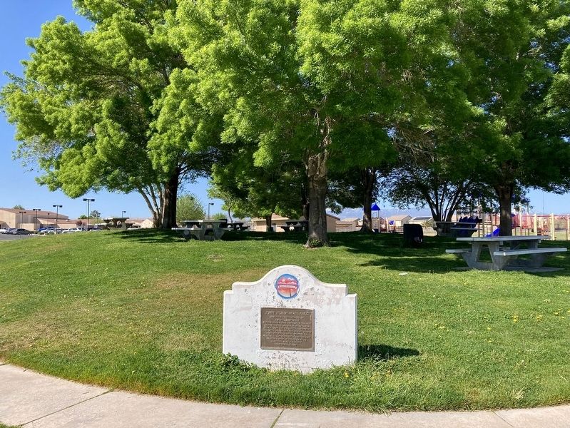
2. John Mgrdichian Park and Marker
Credits. This page was last revised on April 3, 2026. It was originally submitted on April 30, 2024, by Craig Baker of Sylmar, California. This page has been viewed 629 times since then and 71 times this year. Photos: 1, 2. submitted on April 30, 2024, by Craig Baker of Sylmar, California.
