
Canton in Baltimore, Maryland — The American Northeast (Mid-Atlantic)
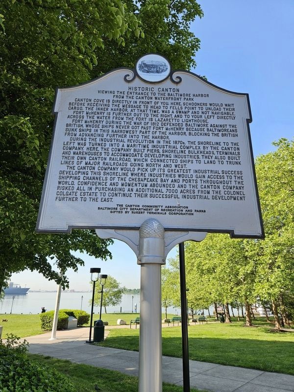
Historic Canton
Viewing the Entrance to the Baltimore Harbor from the Canton Waterfront Park
Photographed by Mark P Brock-Cancellieri, April 29, 2024
1. Historic Canton Marker
Canton Cove is directly in front of you. Here, schooners would wait before receiving the message to head to Fells Point to unload their cargo. The Inner Harbor, at that time, was a swamp and not navigable.
Fort McHenry is further out to the right, and to your left directly across the water from the fort is Lazaretto Lighthouse.
For McHenry during the War of 1812 defended Baltimore against the British, whose ships never got past Fort McHenry because Baltimoreans sunk ships in the narrowest part of the harbor, blocking the British from advancing further into the harbor.
During the Industrial Revolution in the 1870s, the shoreline to the left was turned into a maritime industrial complex by the Canton Company. Here, the company built piers, shoreline bulkheads, terminals and warehouses to accommodate developing industries. They also built their own Canton Railroad, which connected ships to land to trunk lines of major railroads going north and west.
The Canton Company would pick up its greatest industrial success developing this shoreline where industries would gain access to the shipping channels of the Chesapeake
this page online
Erected by The Canton Community Association; Baltimore City Department of Recreation and Parks; gifted by Rukert Terminals Corporation.
Topics. This historical marker is listed in these topic lists: Forts and Castles • Railroads & Streetcars • War of 1812 • Waterways & Vessels. A significant historical year for this entry is 1812.
Location. 39° 16.665′ N, 76° 34.426′ W. Marker is in Baltimore, Maryland. It is in Canton. It is at the intersection of Boston Street and South Potomac Street, on the right when traveling east on Boston Street. Touch for map. Marker is at or near this postal address: 2999 Boston St, Baltimore MD 21224, United States of America. Touch for directions.

Regionally, this marker is in Central Maryland. It is also in the American Mid-Atlantic, in the Chesapeake Bay Region, and on the Eastern Seaboard. Globally, it is in the North Atlantic Region, North
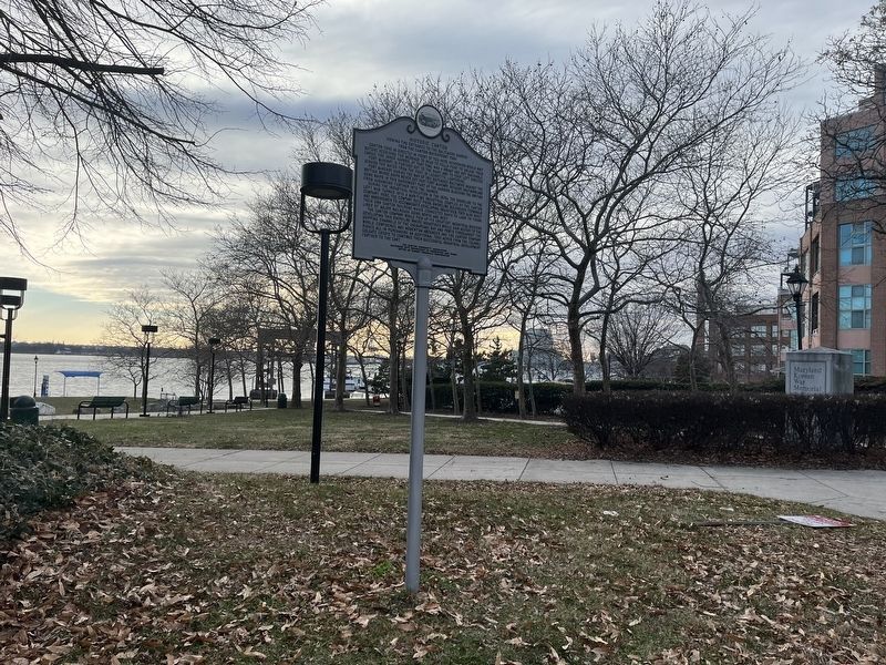
Other nearby markers. At least 8 other markers are within walking distance of this marker: Korean War Memorial (within shouting distance of this marker); a different marker also named Historic Canton (about 300 feet away, measured in a direct line); Frederick Douglass' Escape from Slavery (about 700 feet away); The Railroad to Freedom (about 700 feet away); a different marker also named Historic Canton (about 800 feet away); a different marker also named Historic Canton (approx. 0.2 miles away); a different marker also named Historic Canton (approx. 0.2 miles away); The Canton Library (approx. 0.2 miles away). Touch for a list and map of all markers in Baltimore.
Another marker is no longer nearby. Captain John O'Donnell (was approx. 0.2 miles away but has been permanently removed).
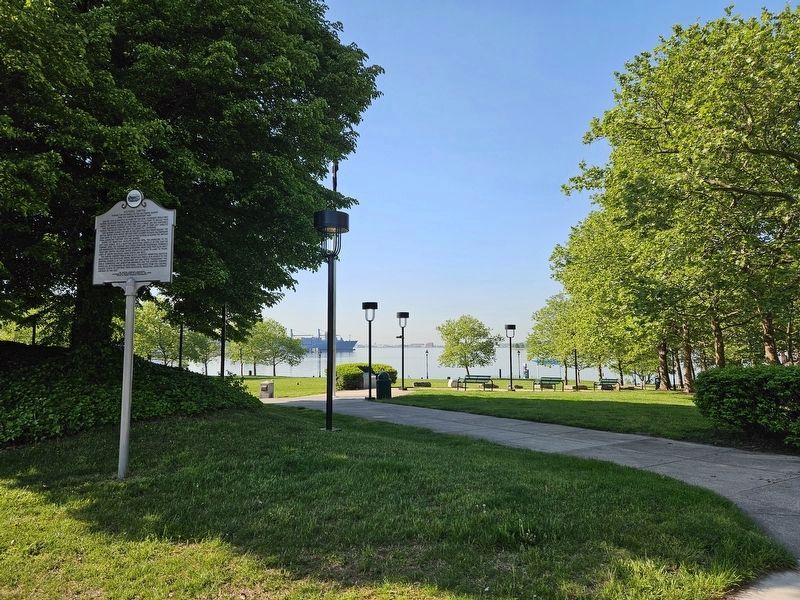
Photographed by Mark P Brock-Cancellieri, April 29, 2024
3. Historic Canton Marker and cove view
Credits. This page was last revised on May 23, 2024. It was originally submitted on December 24, 2022, by Devry Becker Jones of Washington, District of Columbia. This page has been viewed 497 times since then and 33 times this year. Last updated on April 30, 2024, by Mark P. Brock-Cancellieri of Baltimore, Maryland. Photos: 1. submitted on April 30, 2024, by Mark P. Brock-Cancellieri of Baltimore, Maryland. 2. submitted on December 24, 2022, by Devry Becker Jones of Washington, District of Columbia. 3. submitted on April 30, 2024, by Mark P. Brock-Cancellieri of Baltimore, Maryland. • Bill Pfingsten was the editor who published this page.
