Loma Linda in San Bernardino County, California — The American West (Pacific Coastal)
The Zanja Fuels the Citrus Explosion
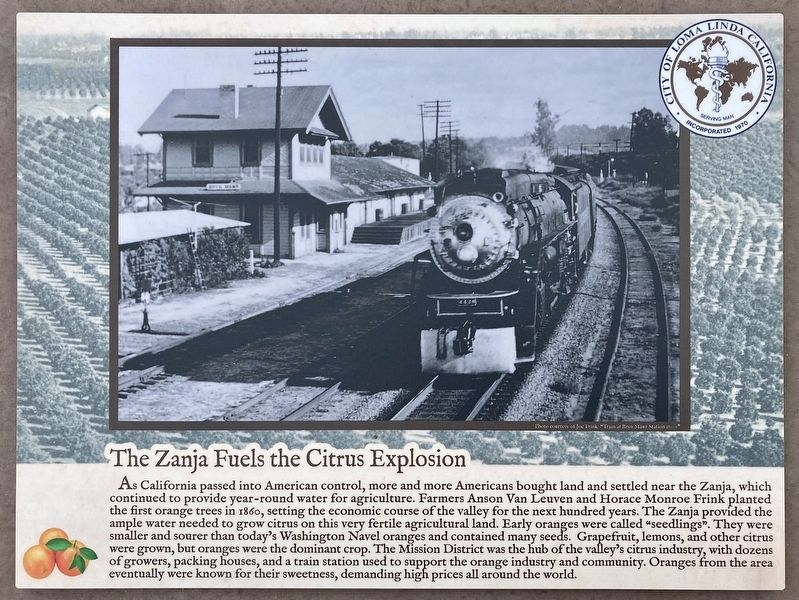
Photographed by Craig Baker, September 18, 2023
1. The Zanja Fuels the Citrus Explosion Marker
Erected by City of Loma Linda.
Topics. This historical marker is listed in these topic lists: Agriculture • Settlements & Settlers. A significant historical year for this entry is 1860.
Location. 34° 3.096′ N, 117° 13.78′ W.
this page online

Regionally, this marker is in Greater Los Angeles, in the Inland Empire, in the Peninsular Ranges, and specifically in the Transverse Ranges. It is also in the American Southwest. Globally, it is in North America, on the Ring of Fire, on the Pacific Rim, in the Western Hemisphere, in the Western World, and in the Anglosphere. Historically, it finds itself in what was once New Spain and also Mexico’s Alta California.
Other nearby markers. At least 8 other markers are within walking distance of this marker: Arrival of the Europeans (within shouting distance of this marker); Zanja is Contested (within shouting distance of this marker); History Before Europeans (within shouting distance of this marker); Mill Creek Zanja (about 300 feet away, measured in a direct line); Guachama Rancheria (approx. 0.6 miles away); San Bernardino Asistencia (approx.
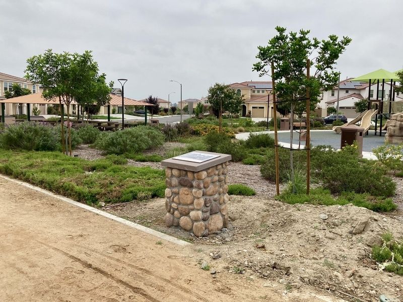
Photographed by Craig Baker, September 18, 2023
2. The Zanja Fuels the Citrus Explosion Marker
Credits. This page was last revised on April 30, 2024. It was originally submitted on April 30, 2024, by Craig Baker of Sylmar, California. This page has been viewed 158 times since then and 17 times this year. Photos: 1, 2. submitted on April 30, 2024, by Craig Baker of Sylmar, California.
