Cathedral Hill in Saint Paul in Ramsey County, Minnesota — The American Midwest (Upper Plains)
The Selby Streetcar Tunnel
Photographed by McGhiever, March 20, 2024
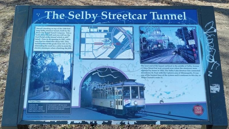
1. The Selby Streetcar Tunnel Marker
You are standing on top of the 1500-foot long Selby streetcar tunnel, built by the Twin City Rapid Transit Company. Take a walk down the hill and you will see the East Portal of the tunnel which is still intact. Prior to its opening in 1907, cable cars had to climb this steep hill. This tunnel reduced the grade from 16% to 7%, eliminating the need for a cable to assist the electric streetcars when climbing the hill.
Project Data
Constructed: 1906
Construction cost: $366,000
Length of tunnel: 1,500 feet
Deepest depth of tunnel: 50 feet
Concrete poured: 21,000 mixer barrels
Steel reinforcing rods used: 328,000 pounds
Dirt removed: 43,800 cubic yards
The west end of the tunnel surfaced in the middle of Selby Avenue at Nina Street but was covered over when the streetcars were replaced by buses in 1953. The Selby-Lake streetcar line connected downtown St. Paul with the Uptown area of Minneapolis. it was one of the busiest lines of the system and it continues to this day at Metro Transit's route 21.
Erected by the Minnesota Streetcar Museum.
Topics. This historical marker is listed in these topic lists:
this page online
Location. 44° 56.796′ N, 93° 6.463′ W. Marker is in Saint Paul, Minnesota, in Ramsey County. It is in Cathedral Hill. It can be reached from the intersection of Summit Avenue and Selby Avenue, on the left when traveling south. The marker is in Cathedral Hill Park, near the west end of the sidewalk cutting between Summit Avenue and College Avenue W. Touch for map. Marker is at or near this postal address: 215 Summit Avenue, Saint Paul MN 55102, United States of America. Touch for directions.

Regionally, this marker is in the Twin Cities Metropolitan Area. It is also in the American Midwest, in the Corn Belt, and in the Great River Road Region. Globally, it is in North America, the Western Hemisphere, the Western World, and the Anglosphere. Historically, it finds itself in what was once Rupert’s Land, the territory of the Mississippian Culture, and the Louisiana Purchase.
Other nearby markers. At least 8 other markers are within walking distance of this marker: Site of First School Patrol Crossing in the World (within shouting distance
Photographed by McGhiever, March 20, 2024
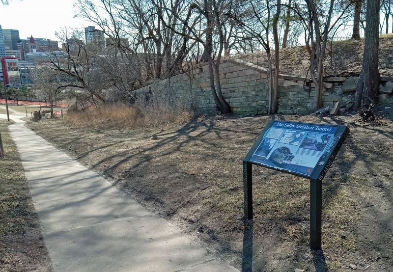
2. The Selby Streetcar Tunnel Marker at the southwest corner of Cathedral Hill Park
Credits. This page was last revised on May 1, 2024. It was originally submitted on May 1, 2024, by McGhiever of Minneapolis, Minnesota. This page has been viewed 712 times since then and 98 times this year. Photos: 1, 2. submitted on May 1, 2024, by McGhiever of Minneapolis, Minnesota.
