Glen Cove in Rockport in Knox County, Maine — The American Northeast (New England)
Revolution
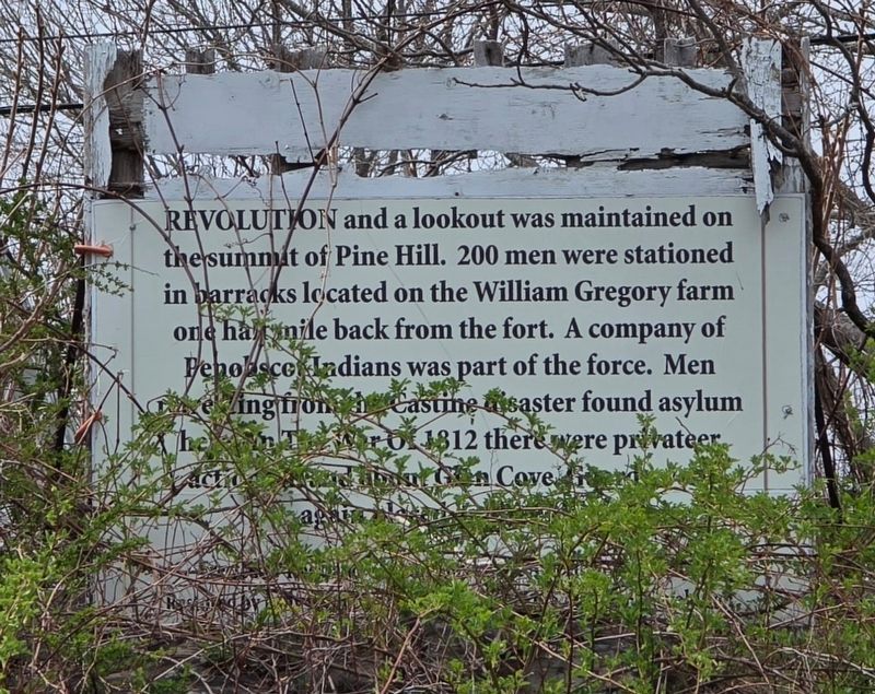
Photographed by Clifford Richards
1. Revolution Marker
Revolution and a lookout was maintained on the summit of Pine Hill. 200 men were stationed in barracks located on the William Gregory farm one half mile back from the fort. A company of Penobscot Indians was part of the force. Men retreating from the Castine disaster found asylum here. In The War of 1812 there were privateer action in and about Glen Cove Guard again.
Topics. This historical marker is listed in these topic lists: Indigenous Peoples and Communities • War of 1812 • War, US Revolutionary. A significant historical year for this entry is 1812.
Location. 44° 8.444′ N, 69° 5.403′ W. Marker has been reported damaged. Marker is in Rockport, Maine, in Knox County. It is in Glen Cove. It is on Commercial Street (U.S. 1) south of Powerhouse Hill Lane, on the left when traveling north. Touch for map. Marker is in this post office area: Rockport ME 04856, United States of America. Touch for directions.

Regionally, this marker is in Midcoast Maine and on Penobscot Bay. It is also in the American Northeast, in New England, and on the Eastern Seaboard. Globally, it is in the North Atlantic Region, North America,
this page online
Other nearby markers. At least 8 other markers are within 3 miles of this location, measured as the crow flies: Samoset Resort (approx. 1.8 miles away); Rockland Harbor Trail (approx. 1.8 miles away); a different marker also named Rockland Harbor Trail (approx. 2.3 miles away); Civil War Memorial (approx. 2.4 miles away); Spanish American War Memorial (approx. 2.4 miles away); Rockland Breakwater Lighthouse (approx. 2.6 miles away); World Wars Memorial (approx. 2.7 miles away); Walter Hamor Piston (approx. 2.7 miles away).
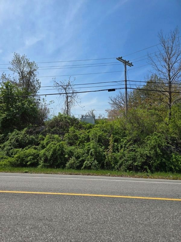
Photographed by Clifford Richards, May 17, 2024
2. Revolution Marker
Credits. This page was last revised on November 21, 2024. It was originally submitted on May 5, 2024, by Clifford Richards of Belfast, Maine. This page has been viewed 309 times since then and 40 times this year. Photos: 1. submitted on May 5, 2024, by Clifford Richards of Belfast, Maine. 2. submitted on May 17, 2024, by Clifford Richards of Belfast, Maine. • Michael Herrick was the editor who published this page.
