Pierre in Hughes County, South Dakota — The American Midwest (Upper Plains)
Steamboat Reach

May 3, 2024
1. Steamboat Reach Marker
Erected 1960 by Explorer Scout Post No. 175 and State Historical Society. (Marker Number 280.)
Topics and series. This historical marker is listed in this topic list: Waterways & Vessels. In addition, it is included in the South Dakota State Historical Society Markers series list.
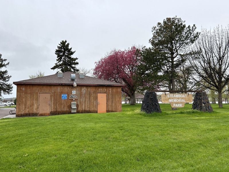
Location. 44° 22.164′ N, 100° 21.736′ W. Marker is in Pierre, South Dakota, in Hughes County. It is on West Dakota Avenue west of Poplar Street, on the right when traveling east. Located in Steamboat Memorial Park. Touch for map. Marker is in this post office area: Pierre SD 57501, United States of America. Touch for directions.

Regionally, this marker is in East River. It is also in the American Lewis & Clark Corridor, on the prairies, and on the Northern Plains. Globally, it is in North
this page online
Other nearby markers. At least 8 other markers are within walking distance of this marker: Steamboats on the Missouri (about 500 feet away, measured in a direct line); Exploring the Lewis & Clark Trail (about 600 feet away); Pierre's First School (about 700 feet away); Pierre (approx. 0.2 miles away); Lewis and Clark (approx. 0.2 miles away); Welcome to Steamboat Park! (approx. ¼ mile away); Tichicala Cabin (approx. ¼ mile away); Pierre Was A Cowtown / Reading Brands (approx. 0.4 miles away). Touch for a list and map of all markers in Pierre.
May 3, 2024
2. Steamboat Reach Marker in Steamboat Park
May 14, 2023
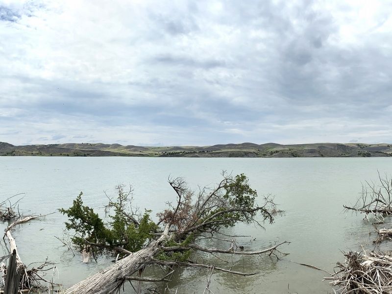
3. A section of Steamboat Reach, south of Farm Island
Credits. This page was last revised on May 6, 2024. It was originally submitted on May 6, 2024. This page has been viewed 211 times since then and 19 times this year. Photos: 1, 2, 3. submitted on May 6, 2024.
