Riggins in Idaho County, Idaho — The American West (Mountains)
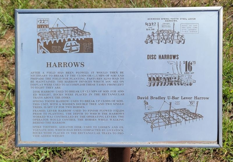
Harrows
Photographed by Jeremy Snow, May 3, 2024
1. Harrows Marker
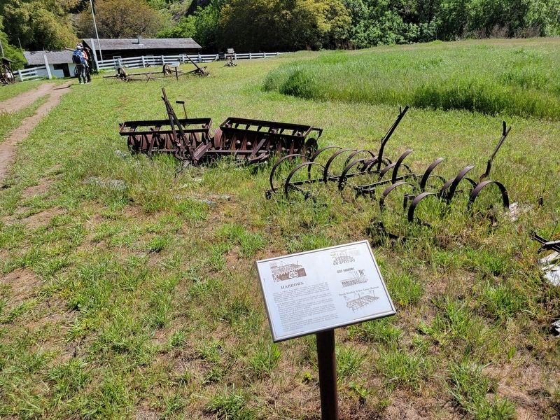
Spring tooth harrow-used to break up clods of soil. This unit, with a wooden double tree and two single trees, is set up for two horses.
Fframed, lever harrow-used to finish plowed fields prior to planting. The depth to which the harrows worked was controlled by the operating levers. The operator would control the horses while walking behind the harrow.
K Spike toothed, aerator disk-used to loosen and oxygenate soil which had been compacted by livestock. Rocks were placed in the rectangular trays to provide added weight.
Topics. This historical marker is listed in this topic list: Agriculture.
Location. 45° 34.086′ N, 116° 29.894′ W. Marker is in Riggins, Idaho, in
this page online

Regionally, this marker is in North Idaho — Idaho’s Panhandle. It is also in the American Mountain West, specifically in the Pacific Northwest, and in the Lewis & Clark Corridor. Globally, it is in North America, the Rocky Mountains, the Western Hemisphere, the Western World, and the Anglosphere.
Other nearby markers. At least 8 other markers are within walking distance of this marker: Hay Rakes (a few steps from this marker); Buck Rake (a few steps from this marker); McCormick Sickle Bar Mower (a few steps from this marker); John Deere Steel Wheeled Truck (a few steps from this marker); Plows (a few steps from this marker); Horse Drawn Farm Equipment (a few steps from this marker); Sterling Cabin (within shouting distance of this
Photographed by Jeremy Snow, May 3, 2024
2. Harrows Marker
Credits. This page was last revised on June 12, 2024. It was originally submitted on May 7, 2024, by Jeremy Snow of Cedar City, Utah. This page has been viewed 158 times since then and 17 times this year. Photos: 1, 2. submitted on May 7, 2024, by Jeremy Snow of Cedar City, Utah. • Bill Pfingsten was the editor who published this page.
