Lisboa, Portugal — Southwestern Europe (Iberian Peninsula)
Arco do Bandeira
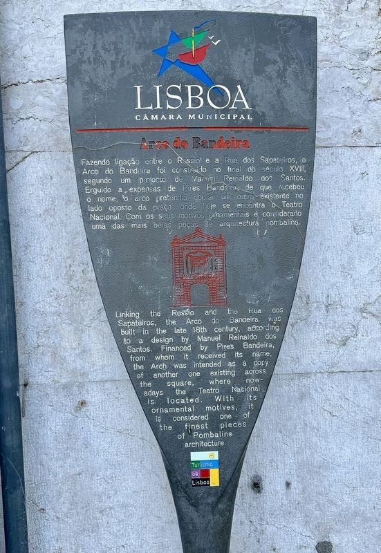
Photographed by Andrew Ruppenstein, April 20, 2024
1. Arco do Bandeira Marker

Erected by Turismo de Lisboa, Lisboa Câmara Municipal.
Topics. This historical marker is listed in these topic lists: Architecture • Man-Made Features.
Location. 38° 42.775′ N, 9° 8.343′ W.
this page online

Regionally, it is in the North Atlantic Region, in Europe, in the European Union, in Atlantic Europe, on the Iberian Peninsula, in the Schengen Area, and in the Western World. Historically, it finds itself in what was once Portuguese colonies and also the Roman Empire.
Other nearby markers. At least 8 other markers are within walking distance of this marker: Fernando Pessoa (about 120 meters away, measured in a direct line); A Ginjinha (about 210 meters away); Memorial às Vítimas do Massacre de 1506 / Memorial to the Victims of the 1506 Massacre (about 210 meters away); Igreja de São Domingos / “Church of Saint Dominic” (about 240 meters away); Pai Paulino / Father Paulino (approx. 0.2 kilometers away); Coliseu (approx. 0.4 kilometers away); Amalia Rodrigues (approx. 0.4 kilometers away); Luís de Camões (approx. 0.4 kilometers away). Touch for a list and map of all markers in
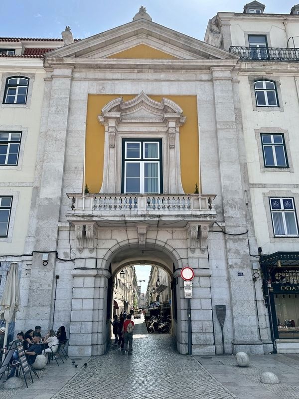
Photographed by Andrew Ruppenstein, April 20, 2024
2. Arco do Bandeira and Marker
Also see . . . Arco do Bandeira (Wikipedia, in Portuguese). (Submitted on May 7, 2024.)
Credits. This page was last revised on May 7, 2024. It was originally submitted on May 7, 2024, by Andrew Ruppenstein of Lamorinda, California. This page has been viewed 292 times since then and 52 times this year. Photos: 1, 2. submitted on May 7, 2024, by Andrew Ruppenstein of Lamorinda, California.
