Near Fort Pierre in Stanley County, South Dakota — The American Midwest (Upper Plains)
Steamboats
May 3, 2024
1. Steamboats Marker
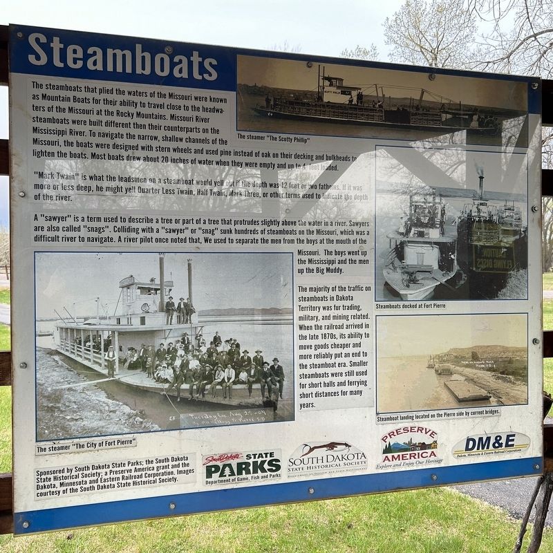
"Mark Twain" is what the leadsmen on a steamboat would yell out if the depth was 12 feet or two fathoms. If it was more or less deep, he might yell Quarter Less Twain, Half Twain, Mark Three, or other terms used to indicate the depth of the river.
A "sawyer" is a term used to describe a tree or part of a tree that protrudes slightly above the water in a river. Sawyers are also called "snags". Colliding with a "sawyer" or "snag" sunk hundreds of steamboats on the Missouri, which was a difficult river to navigate. A river pilot once noted that, We used to separate the men from the boys
this page online
The majority of the traffic on steamboats in Dakota Territory was fur trading, military, and mining related. When the railroad arrived in the late 1870s, its ability to move goods cheaper and more reliably put an end to the steamboat era. Smaller steamboats were still used for short halls and ferrying short distances for many years.
The steamer "The Scotty Phillip"
Steamboats docked at Fort Pierre
The steamer "The City of Fort Pierre"
Steamboat landing located on the Pierre side by current bridges.
Erected by South Dakota State Parks; the South Dakota State Historical Society; a Preserve America grant and the Dakota, Minnesota and Eastern Railroad Corporation. Images courtesy of the South Dakota State Historical Society.
Topics. This historical marker is listed in this topic list: Waterways & Vessels.
Location. 44° 26.397′ N, 100° 23.565′ W. Marker is near Fort Pierre, South Dakota, in Stanley County. It can be reached from Marina Loop Road half a mile east of Power House Road,
May 3, 2024
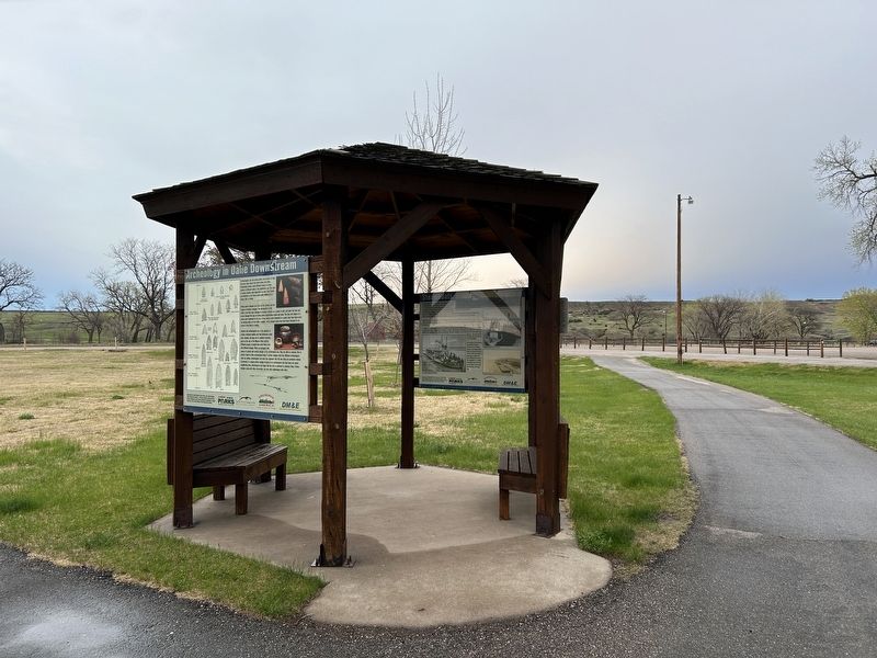
2. Steamboats Marker (right), from the west

Regionally, this marker is in the Crow Creek Sioux Tribe and in East River. It is also in the American Lewis & Clark Corridor, on the prairies, and on the Northern Plains. Globally, it is in North America, the Western Hemisphere, the Western World, and the Anglosphere. Historically, it finds itself in what was once Rupert’s Land and also the Louisiana Purchase.
Other nearby markers. At least 8 other markers are within walking distance of this marker: The Arikara / The Sioux (here, next to this marker); Archeology in Oahe Downstream (here, next to this marker); Honored Guests / Momentarily Adrift (approx. 0.8 miles away); The Lewis & Clark Expedition (approx. 0.9 miles away); Stilling Basin (approx. 0.9 miles away); A Tense Three Days (approx. 0.9 miles away); The Lewis and Clark Expedition (approx. 0.9 miles away); A Changing Landscape (approx. 0.9 miles away). Touch for a list and map of all markers in Fort Pierre.
Credits. This page was last revised on May 8, 2024. It was originally submitted on May 8, 2024. This page has been viewed 155 times since then and 27 times this year. Photos: 1, 2. submitted on May 8, 2024.
