Near Big Timber in Sweet Grass County, Montana — The American West (Mountains)
The Wild River

Photographed by Barry Swackhamer, August 20, 2022
1. The Wild River Marker
Consequently, the river continues to renew itself by carving new sidechannels, forming new islands, and creating the bare sand beaches that give rise to lush cottonwood forests. With periodic flooding, tributaries to the Yellowstone are also affected (see inset maps).
While sidechannels provide key nursery areas for young trout and other fish, cottonwood forests provide prime habitat for literally hundreds of wildlife species including beaver, river otter, whitetail deer, bald eagles, and countless varieties of songbirds.
Erected by Montana Fish, Wildlife and Parks, Lewis and Clark National Historic Trail.
Topics and series. This historical marker is listed in these topic
this page online
Location. 45° 51.287′ N, 109° 55.027′ W. Marker is near Big Timber, Montana, in Sweet Grass County. It is on Howie Road near U.S. 191, on the right when traveling west. The marker is located at the Otter Creek Fishing Access. Touch for map. Marker is in this post office area: Big Timber MT 59011, United States of America. Touch for directions.

Regionally, this marker is in Montana’s Yellowstone Country. It is also in the American Mountain West and in the Lewis & Clark Corridor. Globally, it is in North America, the Rocky Mountains, the Western Hemisphere, the Western World, and the Anglosphere. Historically, it finds itself in what was once Rupert’s Land and also the Louisiana Purchase.
Other nearby markers. At least 8 other markers are within 3 miles of this marker, measured as the crow flies: Elk, Rochejhone, Yellowstone (here, next to this marker); A River of Abundance (here, next to this marker); Grand Hotel (approx. 2.3 miles away); Carnegie Public Library

Photographed by Barry Swackhamer, August 20, 2022
2. The Wild River Marker (insert)
1805: This map is similar to the one Clark created on July17, 1806. It explains the origin of "Rivers Across." the name given to the two river - Boulder and Big Timber - that once emptied into the Yellowstone directly across from on another. This location is about 1/2 mile upstream from where you are standing.

Photographed by Barry Swackhamer, August 20, 2022
3. The Wild River Marker (insert)
Present: This map shows the rivers as they are today. Through natural events they have changed dramatically since Captain Clark made his map. As you look slightly west you will see that the mouth of the beautiful Boulder River is no longer "across" from Big Timber Creek
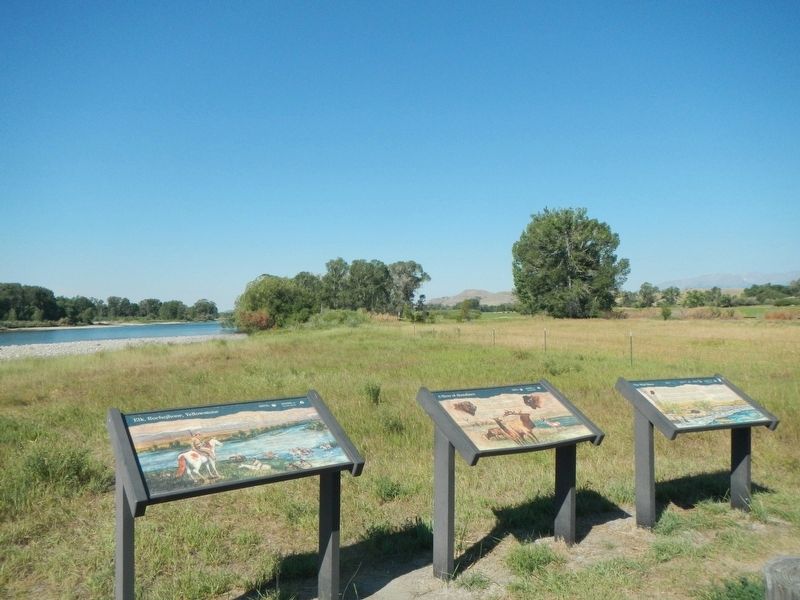
Photographed by Barry Swackhamer, August 20, 2022
4. The Wild River Marker
Credits. This page was last revised on May 9, 2024. It was originally submitted on May 9, 2024, by Barry Swackhamer of Brentwood, California. This page has been viewed 166 times since then and 20 times this year. Photos: 1, 2, 3, 4. submitted on May 9, 2024, by Barry Swackhamer of Brentwood, California.
