Aculco, Mexico State, Mexico — The Central Highlands (North America)
Aculco
Photographed by J. Makali Bruton, September 23, 2018
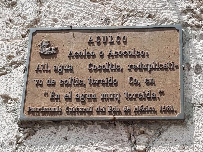
1. Aculco Marker

Acolco o Acocolco:
Atl, Agua Cocoltic, reduplicativo de coltic, torcido Co, en
“En el agua muy torcido.”
Patrimonio Cultural del Edo. de México, 1981.
Aculco
Acolco or Acocolco: Atl, Water; Cocoltic, an emphasized version of ‘coltic’, twisted; Co, in.
“In the very twisted water”
Cultural Heritage of the State of Mexico, 1981.
Erected 1981.
Topics. This historical marker is listed in these topic lists: Indigenous Peoples and Communities • Settlements & Settlers. A significant historical year for this entry is 1981.
Location. 20° 5.97′ N, 99° 49.67′ W. Marker is in Aculco, Estado de Mexico (Mexico State). It is at the intersection of Calle de Riva Palacio and Avenida Miguel Hidalgo, on the right when traveling south on Calle de Riva Palacio. Touch for map. Marker is at or near this postal address: Pl Constitución 1, Aculco MEX 50360, Mexico. Touch for directions.

Regionally, this marker is in Central Mexico and specifically in Mexico City Metropolitan Area. Globally, it is in North America, specifically in Mesoamerica, on the Ring of Fire, and in the Western Hemisphere. Historically,
this page online
Other nearby markers. At least 8 other markers are within 11 kilometers of this marker, measured as the crow flies: The Naming of Aculco de Espinoza (a few steps from this marker); El Camino Real de Tierra Adentro (within shouting distance of this marker); Hidalgo in Aculco (about 90 meters away, measured in a direct line); Creation of the Municipality of Aculco (about 150 meters away); Miguel Hidalgo y Costilla in Aculco (approx. 2.5 kilometers away); The Battle of Aculco and the "Blessed Tree" (approx. 6.4 kilometers away); Parish of Arroyo Zarco (approx. 10.7 kilometers away); The Royal Inland Road (approx. 10.7 kilometers away).
Regarding Aculco. The town's name may make reference to the nearby river to the west.
Photographed by J. Makali Bruton, September 23, 2018
2. The Naming of Aculco de Espinoza Marker
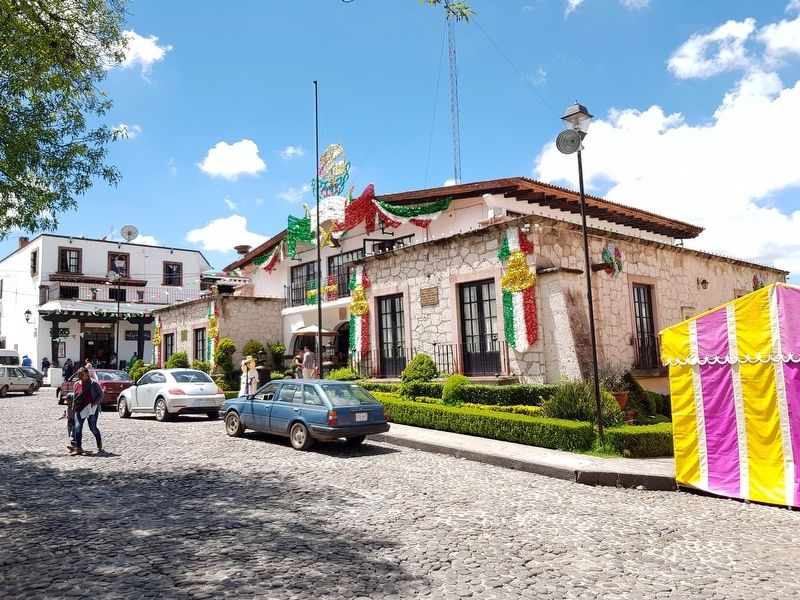
The marker can be seen far to the left on this building, the Ayuntamiento (City Hall) of Aculco de Espinoza.
Credits. This page was last revised on June 17, 2024. It was originally submitted on May 10, 2024, by J. Makali Bruton of Washington, District of Columbia. This page has been viewed 154 times since then and 18 times this year. Photos: 1, 2. submitted on September 23, 2018, by J. Makali Bruton of Washington, District of Columbia.
