
Arrow Rock in Saline County, Missouri — The American Midwest (Upper Plains)
Capt. John Burruss' Bell
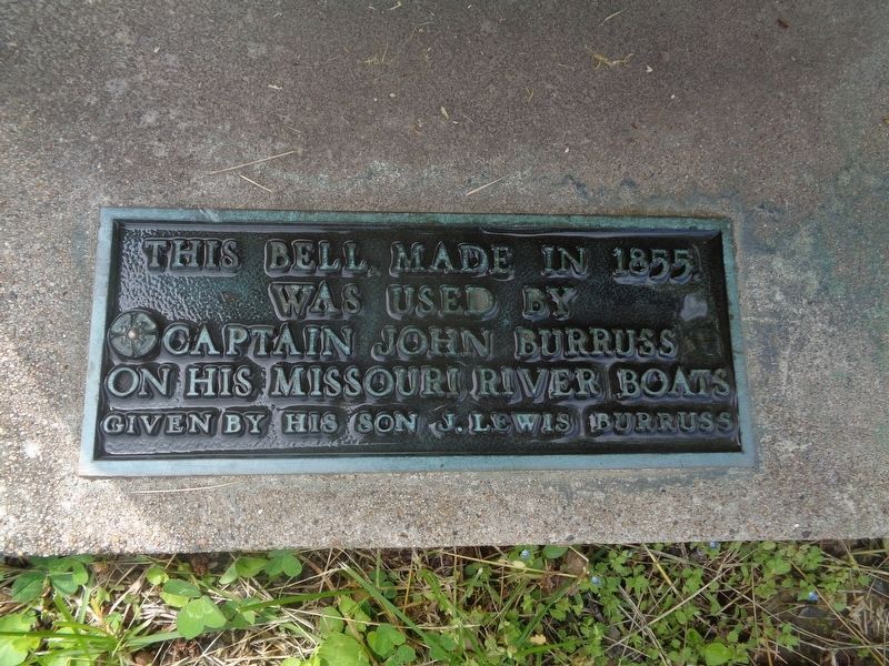
Photographed by Jason Voigt, May 15, 2024
1. Capt. John Burruss' Bell Marker
Given by his son J. Lewis Burruss
Topics and series. This historical marker is listed in this topic list: Man-Made Features. In addition, it is included in the Historic Bells series list. A significant historical year for this entry is 1855.
Location. 39° 4.194′ N, 92° 56.715′ W. Marker is in Arrow Rock, Missouri, in Saline County. It is on Main Street east of 4th Street, on the right when traveling east. Marker and bell are next to J. Huston Tavern. Touch for map. Marker is at or near this postal address: 305 Main St, Arrow Rock MO 65320, United States of America. Touch for directions.

Regionally, this marker is in the Missouri River Corridor. It is also in the American Midwest, in the Lewis & Clark Corridor, in the Corn Belt, and on the Santa Fe Trail Corridor. Globally, it is in North America, the Western Hemisphere, the Western World, and the Anglosphere. Historically, it finds itself in what was once the territory of the Mississippian Culture, the Louisiana Purchase, and the Antebellum South.
Other nearby markers. At
this page online
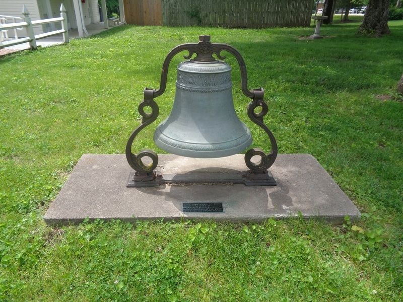
Photographed by Jason Voigt, May 15, 2024
2. Capt. John Burruss' Bell Marker
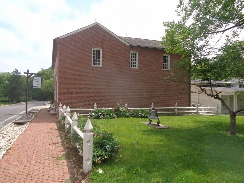
Photographed by Jason Voigt, May 15, 2024
3. Capt. John Burruss' Bell Marker
Bell is next to the J. Huston Tavern
Credits. This page was last revised on May 15, 2024. It was originally submitted on May 15, 2024, by Jason Voigt of Glen Carbon, Illinois. This page has been viewed 302 times since then and 17 times this year. Photos: 1, 2, 3. submitted on May 15, 2024, by Jason Voigt of Glen Carbon, Illinois.
