Arrow Rock in Saline County, Missouri — The American Midwest (Upper Plains)
Arrow Rock Cemetery
Photographed by Jason Voigt, May 14, 2024
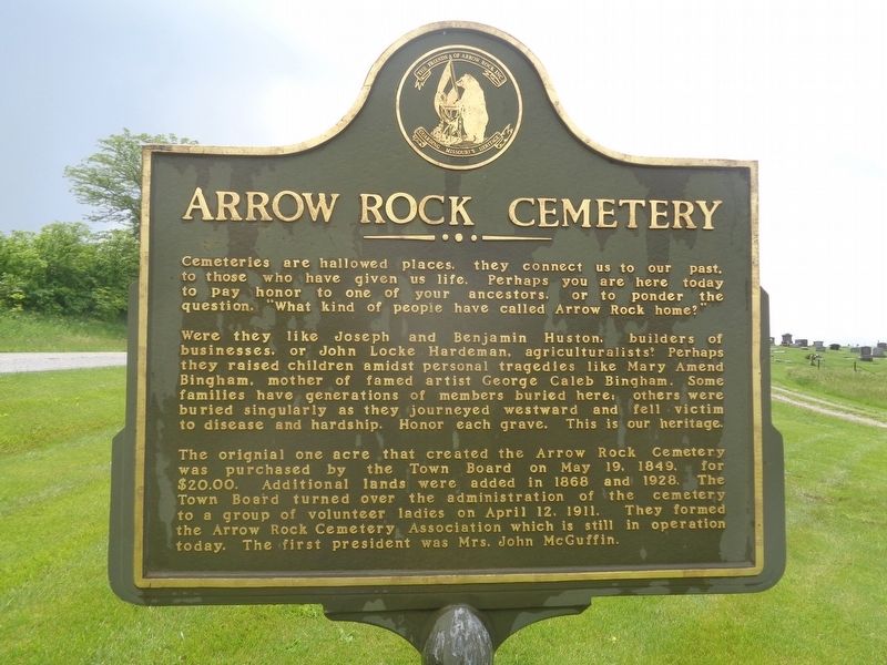
1. Arrow Rock Cemetery Marker
Were they like Joseph and Benjamin Huston, builders of businesses, or John Locke Hardeman, agriculturalists? Perhaps they raised children amidst personal tragedies like Mary Amend Bingham, mother of famed artist George Caleb Bingham. Some families have generations of members buried here, others were buried singularly as they journeyed westward and fell victim to disease and hardship. Honor each grave. This is our heritage.
The original one acre that created the Arrow Rock Cemetery was purchased by the Town Board on May 19, 1849, for $20.00. Additional lands were added in 1868 and 1928. The Town Board turned over the administration of the cemetery to a group of volunteer ladies on April 12, 1911. They formed the Arrow Rock Cemetery Association which is still in operation today. The first president was Mrs. John McGuffin.
Erected by Friends of Arrow Rock Inc.
Topics. This
this page online
Location. 39° 3.947′ N, 92° 57.507′ W. Marker is in Arrow Rock, Missouri, in Saline County. It is on Missouri Route TT 0.8 miles west of Route 41, on the right when traveling west. Touch for map. Marker is at or near this postal address: 38997 Co Rd TT, Blackwater MO 65322, United States of America. Touch for directions.

Regionally, this marker is in the Missouri River Corridor. It is also in the American Midwest, in the Lewis & Clark Corridor, in the Corn Belt, and on the Santa Fe Trail Corridor. Globally, it is in North America, the Western Hemisphere, the Western World, and the Anglosphere. Historically, it finds itself in what was once the territory of the Mississippian Culture, the Louisiana Purchase, and the Antebellum South.
Other nearby markers. At least 8 other markers are within walking distance of this marker: Bingham Farmstead 1828 (approx. 0.4 miles away); Santa Fe Trail (approx. half a mile away); The Lawless House / The Restoration of the Lawless House (approx. half
Photographed by Jason Voigt, May 14, 2024
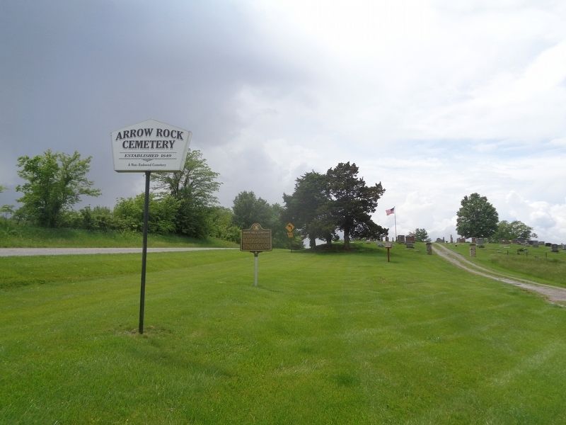
2. Arrow Rock Cemetery Marker
Located at the east entrance of the cemetery
Another marker is no longer nearby. Aderton House (was approx. 0.7 miles away but has been replaced with another marker now near it).
More about this marker. Marker text repeats on both sides.
Also see . . . Arrow Rock Cemetery. Official website by the Arrow Rock Cemetery Association. Contains additional information as well as an alphabetical grave listing. (Submitted on May 15, 2024, by Jason Voigt of Glen Carbon, Illinois.)
Credits. This page was last revised on May 15, 2024. It was originally submitted on May 15, 2024, by Jason Voigt of Glen Carbon, Illinois. This page has been viewed 268 times since then and 48 times this year. Photos: 1, 2. submitted on May 15, 2024, by Jason Voigt of Glen Carbon, Illinois.
