
Webster Station in Dayton in Montgomery County, Ohio — The American Midwest (Great Lakes)
The Canal Basin, 1887

Photographed by Craig Doda, May 4, 2024
1. The Canal Basin, 1887 Marker
Through the nineteenth century, the Miami Erie Canal shaped the growth of Dayton. Even after the railroad replaced the canal as the main mode of long-distance trade and transport, the canal and the hydraulics provided power to the many flourishing mills and industries in Dayton. Canal Street was lined with warehouses, small factories, and shops as illustrated by the 1887 Sanborn Fire Insurance Map:
Between First And Second Streets
• A.W. Nixon Tobacco Warehouse
• Miller Brothers Columbia Cigar Factory
• Grain Warehouse
• Green Lumber Storage
• G. Stomps and Company Chair Warehouse
• Produce and Forwarding, Lumber and Other Warehouses, Livery Boarding and Feed
Between Second And Third Streets
• Union Collar and Net Company
• J.W. McSherry Putty Works
• Schaefer and Benson Tablet Company
• Small Metal Workshops
Topics and series. This historical marker is listed in these topic lists: Industry & Commerce • Waterways & Vessels. In addition, it is included in the The Miami & Erie Canal series list. A significant historical year for this entry is 1887.
Location. 39° 45.719′ N, 84° 11.212′ W. Marker
this page online

Regionally, this marker is in Ohio’s Miami Valley. It is also in the American Midwest and in the Corn Belt. Globally, it is in North America, the Western Hemisphere, the Western World, and the Anglosphere. Historically, it finds itself in what was once the Haudenosaunee (Iroquois) Confederacy, the territory of the Mississippian Culture, and the Northwest Territory.
Other nearby markers. At least 8 other markers are within walking distance of this marker: The Canal Building Legacy (here, next to this marker); The Canal and Dayton's Flourishing Industrial District (here, next to this marker); Dayton, Ohio, 1854 (here, next to this marker); The Dayton Engineering Laboratories Company (here, next to this marker); Canal Buildings of the Past (here, next to this marker); a different
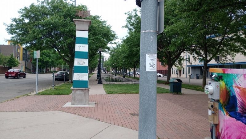
Photographed by Craig Doda, May 4, 2024
2. The Canal Basin, 1887 Marker
Credits. This page was last revised on May 20, 2024. It was originally submitted on May 16, 2024, by Craig Doda of Napoleon, Ohio. This page has been viewed 221 times since then and 13 times this year. Photos: 1, 2. submitted on May 16, 2024, by Craig Doda of Napoleon, Ohio. • Devry Becker Jones was the editor who published this page.
