
Greater East End in Houston in Harris County, Texas — The American South (West South Central)
Houston's Deep-Water Port

Photographed by James Hulse, November 7, 2023
1. Houston's Deep-Water Port Marker
During the early 1900s, Thomas Ball tried to convince congress to support fully a deep-water port for Houston. Business and civic leaders joined forces in 1909, allowing Ball to propose the "Houston Plan”, in which local constituents offered to pay half the cost of the deep-water dredging. Congress accepted the offer and this cost-sharing agreement set a precedent for funding of future federal projects, work began in 1912 and the 52-mile-long deep-water channel officially opened on November 10, 1914. By 1919, Houston was the second-largest spot cotton export port in the U.S., with exports growing exponentially each year during the 1920s. Business along the port grew, bringing new industries such as paper mills, motor fuel refineries and the first container terminal along the Texas Gulf Coast. Houston's deep-water port transformed a fledgling community into an internationally recognized center of commerce.
Erected 2013 by Texas Historical Commission. (Marker Number 17505.)
Topics. This historical marker is listed in this topic
this page online
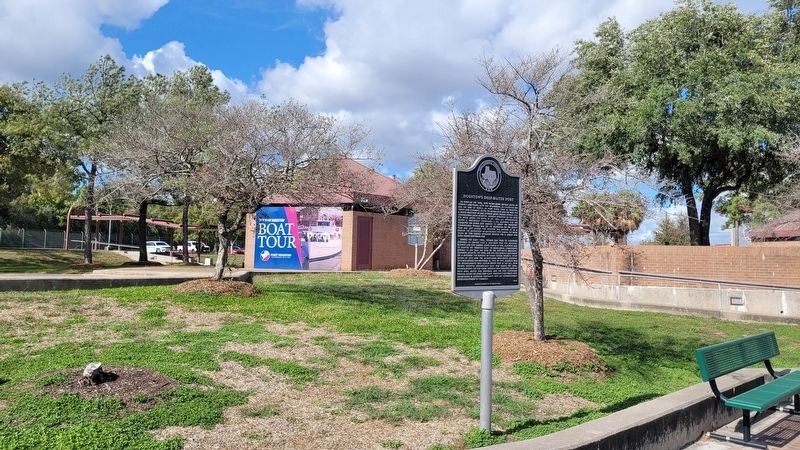
Location. 29° 44.908′ N, 95° 17.551′ W. Marker is in Houston, Texas, in Harris County. It is in Greater East End. It is on Clinton Drive east of U.S. 90. The marker is located on Port Houston property adjacent to the pavilion and dock for the Sam Houston Boat Tour. Touch for map. Marker is at or near this postal address: 7300 Clinton Dr, Houston TX 77011, United States of America. Touch for directions.

Regionally, this marker is in the American South and on the Gulf Coast. Globally, it is in North America, a Gulf of Mexico state, the Western Hemisphere, the Western World, and the Anglosphere. Historically, it finds itself in what was once New Spain, the Republic of Texas, one of the Confederate States of America, and the Antebellum South.
Other nearby markers. At least 8 other markers are within walking distance of this marker: WasteShark (a few steps from this marker); Thomas H. Ball, Jr. (a few steps from this marker); "Constitution" Bend (within shouting distance of this marker); A Grateful Nation Remembers (within shouting distance of this marker);
Photographed by James Hulse, November 7, 2023
2. Houston's Deep-Water Port Marker
The view of the marker in the Sam Houston Boat Tour park.
More about this marker. The marker is located at Port Houston and the port has limited access of the area through a boat tour. The Sam Houston Boat Tour offers free boat tours of the historic Houston Ship Channel during the year and a reservation is required.
Also see . . .
1. Background and History. Port Houston
Port Houston owns and operates the eight public facilities along the 52-mile Houston Ship Channel, including the area’s largest breakbulk facility and two of the most efficient container terminals in the nation. The Port has served as a strategic leader for this vital waterway for over a century, ensuring the free flow of commerce throughout the region as well as bolstering national and international trade.(Submitted on May 18, 2024, by James Hulse of Medina, Texas.)
2. Sam Houston Boat Tour. Port Houston
The M/V Sam Houston has been operating as Port Houston’s public tour vessel since its inaugural voyage on July 30, 1958. This free service offers a leisurely, 90-minute round-trip, educational tour along the Houston Ship Channel. Individuals and groups are invited aboard to learn more about the port and maritime industry.(Submitted on May 18, 2024, by James Hulse of Medina, Texas.)
Credits. This page was last revised on May 18, 2024. It was originally submitted on May 18, 2024, by James Hulse of Medina, Texas. This page has been viewed 296 times since then and 32 times this year. Photos: 1, 2. submitted on May 18, 2024, by James Hulse of Medina, Texas.
