Port Byron in Cayuga County, New York — The American Northeast (Mid-Atlantic)
Experience The Legend

Photographed by Steve Stoessel, May 17, 2024
1. Experience The Legend Marker
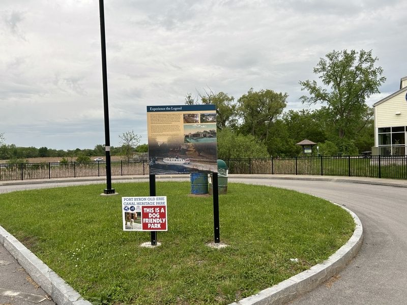
Welcome to the Old Erie Canal Heritage Park. Completed in 1825, the Erie Canal was a lifeline between the Midwestern United States and New York City, transporting freight, people, and ideas. Cities such as Buffalo and Chicago and many communities along the way got their start from this traffic carried by the Erie Canal. This transportation route, now traced by the Thruway, has been traveled for generations across the ancestral lands of the Haudenosaunee.
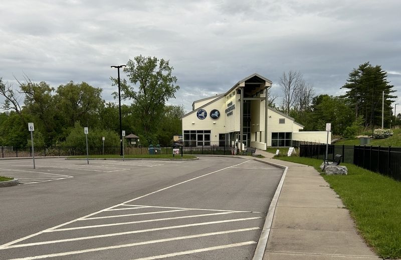
Just beyond the pond, you can the remains of the 19th century Erie Canal, the authentic stonework for a lock from 1853. Lock 52 was used until 1917 when it was replaced by today's rerouted Erie Barge Canal At its peak, the lock saw as many as two hundred boats a day, many bringing grain from Ohio, Michigan, Illinois and other midwestern states. Just beyond the lock is the 1895 Erie House, once the home of an immigrant family, welcoming travelers along the towpath. Ahead is the Visitors Center where you can learn more.
The Park is open from May 1 to October 31, 9 AM to 6 PM. The Park is a partnership of the New York State Thruway Authority and the Canal Society
this page online
Funded in part through generous support from The Erie Canal National Heritage Corridor and the William G. Pomeroy Foundation.
Erected by New York Thruway Authority, Canal Society of New York State.
Topics. This historical marker is listed in this topic list: Waterways & Vessels. A significant historical date for this entry is May 1, 1825.
Location. 43° 2.154′ N, 76° 38.174′ W. Marker is in Port Byron, New York, in Cayuga County. It can be reached from New York Thruway (Interstate 90), on the right when traveling east. Marker is located in the parking area for the Port Byron Old Erie Canal Heritage Center. Marker also can be be reached via the Visitors Center on Rooker Drive. Touch for map. Marker is at or near this postal address: 1575 Rooker Drive, Port Byron NY 13140, United States of America. Touch for directions.

Regionally, this marker is in Upstate New York, specifically in Central New York, and in the Syracuse Metropolitan Area. It is also in the American Northeast and in the Mid-Atlantic. Globally, it is in North America, the Western Hemisphere, the Western World, and the Anglosphere. Historically,
Photographed by Steve Stoessel, May 17, 2024
2. Experience The Legend Marker
Other nearby markers. At least 8 other markers are within walking distance of this marker: The Erie Canal in Port Byron (within shouting distance of this marker); Port Byron's Lock 52 (about 300 feet away, measured in a direct line); Tanner's Dry Dock (about 500 feet away); The Erie House (about 700 feet away); Blacksmith Shop and Mule Shed (approx. 0.2 miles away); Glaciers, Drumlins, and High Level Lakes (approx. 0.2 miles away); Henry Wells (approx. ¼ mile away); Brigham Young (approx. 0.6 miles away). Touch for a list and map of all markers in Port Byron.
Also see . . . Erie Canal (Wikipedia). (Submitted on May 19, 2024, by Steve Stoessel of Niskayuna, New York.)
Photographed by Steve Stoessel, May 17, 2024
3. Experience The Legend Marker
Credits. This page was last revised on May 19, 2024. It was originally submitted on May 18, 2024, by Steve Stoessel of Niskayuna, New York. This page has been viewed 260 times since then and 33 times this year. Photos: 1, 2, 3. submitted on May 18, 2024, by Steve Stoessel of Niskayuna, New York.
