Near Monasterboice in County Louth, Leinster, Ireland — Mid-East (and Dublin)
Round Tower / An Cloigtheach
Round Tower
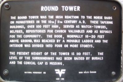
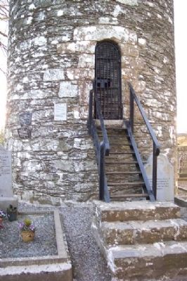
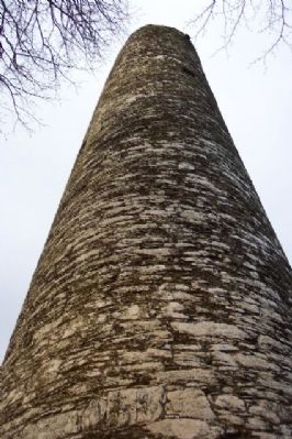
The round tower was the Irish reaction to the Norse raids on monasteries in the 10th/11th century A.D. These tapering buildings, over 100 feet high, served as watch-towers, belfries, repositories for church valuables and as refuges for the community. The door, normally 15-20 feet above ground was reached by a movable ladder and the interior was divided into four or more storeys.
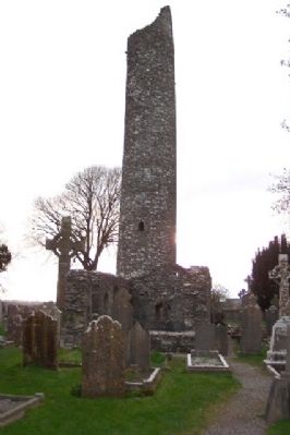
The present height of the tower is 110 feet. The level of the surroundings has been raised by burials and the conical cap is missing.
—————
An Cloigtheach
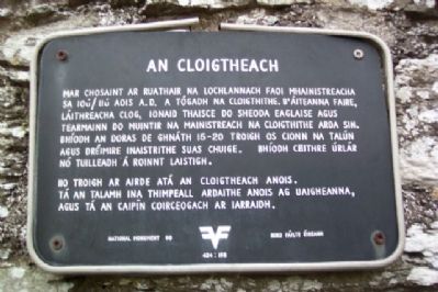
Mar chosaint ar ruathair na lochlannach faoi mhainistreacha sa 10ú/11ú A.D. A tógadh na cloigthithe, b'áiteanna faire, láithreacha clog, ionaid thaisce do sheoda Eaglaise agus termainn do muintir na mainistreach na cloigthithe arda sin. Bhíodh an doras de ghnáth 15-20 troigh os cionn na talún agus dréimire inaistrithe suas chuige. Bhíodh ceithre úrlár nó tuilleadh á roinnt laistigh.
Iio troigh ar airde atá an cloigtheach anois. Tá an talamh ina thimpeall ardaithe anois ag uaigheanna, agus tá an caipín coirceogach ar iarraidh.
Erected by Bord Fáilte Éireann. (Marker Number 98.)
Topics. This historical marker is listed in these topic lists: Cemeteries & Burial Sites • Churches & Religion • Settlements & Settlers.
Location. 53° 46.666′ N, 6° 25.083′ W. Marker is near Monasterboice, Leinster, in County Louth. Markers are on the round tower wall in the Monasterboice monastery site, about 0.8 miles west of the village of Monasterboice, and about 0.5 miles WNW of the intersection of Tower View road with routes R132, N1, and M1. Touch for map. Touch for directions.
Other nearby markers. At least 8 other markers are within 13 kilometers of this marker, measured as the crow flies. The North Church / An Teampall Thuaidh (a few steps from this marker); The South Church / An Teampall Theas (within shouting distance of this marker); Monasterboice / Mainistir Bhuithe (within shouting distance of this marker); Knowth / Cnogbha (approx. 9.7 kilometers away); The Woodhenge/Pit circle / The Winter Soltice (approx. 10 kilometers away); Slane Abbey (approx. 10.6 kilometers away); Saint Patrick on the Hill of Slane (approx. 10.6 kilometers away); Duleek 1916 - 1981 Hunger Strike Monument (approx. 13 kilometers away). Touch for a list and map of all markers in Monasterboice.
Also see . . . Monasterboice. (Submitted on November 20, 2009.)
Credits. This page was last revised on September 6, 2018. It was originally submitted on November 20, 2009, by William Fischer, Jr. of Scranton, Pennsylvania. This page has been viewed 1,296 times since then and 3 times this year. Photos: 1. submitted on November 20, 2009. 2, 3, 4, 5, 6. submitted on November 20, 2009, by William Fischer, Jr. of Scranton, Pennsylvania.
